Estimated Value: $1,390,447 - $1,446,000
3
Beds
3
Baths
3,027
Sq Ft
$466/Sq Ft
Est. Value
About This Home
This home is located at 12 Turtle Ln, Dover, MA 02030 and is currently estimated at $1,409,362, approximately $465 per square foot. 12 Turtle Ln is a home located in Norfolk County with nearby schools including Chickering Elementary School, Dover-Sherborn Regional Middle School, and Dover-Sherborn Regional High School.
Ownership History
Date
Name
Owned For
Owner Type
Purchase Details
Closed on
Oct 30, 2006
Sold by
Haward Susan H
Bought by
Berman Stanley J and Berman Harriet K
Current Estimated Value
Home Financials for this Owner
Home Financials are based on the most recent Mortgage that was taken out on this home.
Original Mortgage
$265,000
Outstanding Balance
$159,118
Interest Rate
6.48%
Mortgage Type
Purchase Money Mortgage
Estimated Equity
$1,250,244
Create a Home Valuation Report for This Property
The Home Valuation Report is an in-depth analysis detailing your home's value as well as a comparison with similar homes in the area
Home Values in the Area
Average Home Value in this Area
Purchase History
| Date | Buyer | Sale Price | Title Company |
|---|---|---|---|
| Berman Stanley J | $792,000 | -- | |
| Haward Susan H | -- | -- |
Source: Public Records
Mortgage History
| Date | Status | Borrower | Loan Amount |
|---|---|---|---|
| Open | Berman Stanley J | $265,000 |
Source: Public Records
Tax History
| Year | Tax Paid | Tax Assessment Tax Assessment Total Assessment is a certain percentage of the fair market value that is determined by local assessors to be the total taxable value of land and additions on the property. | Land | Improvement |
|---|---|---|---|---|
| 2025 | $13,941 | $1,237,000 | $700,900 | $536,100 |
| 2024 | $13,136 | $1,198,500 | $700,900 | $497,600 |
| 2023 | $13,303 | $1,091,300 | $635,100 | $456,200 |
| 2022 | $12,742 | $1,025,900 | $635,100 | $390,800 |
| 2021 | $12,927 | $1,002,900 | $635,100 | $367,800 |
| 2020 | $12,877 | $1,002,900 | $635,100 | $367,800 |
| 2019 | $12,967 | $1,002,900 | $635,100 | $367,800 |
| 2018 | $11,651 | $907,400 | $558,900 | $348,500 |
| 2017 | $12,202 | $935,000 | $548,000 | $387,000 |
| 2016 | $11,844 | $919,600 | $548,000 | $371,600 |
| 2015 | $11,777 | $927,300 | $548,000 | $379,300 |
Source: Public Records
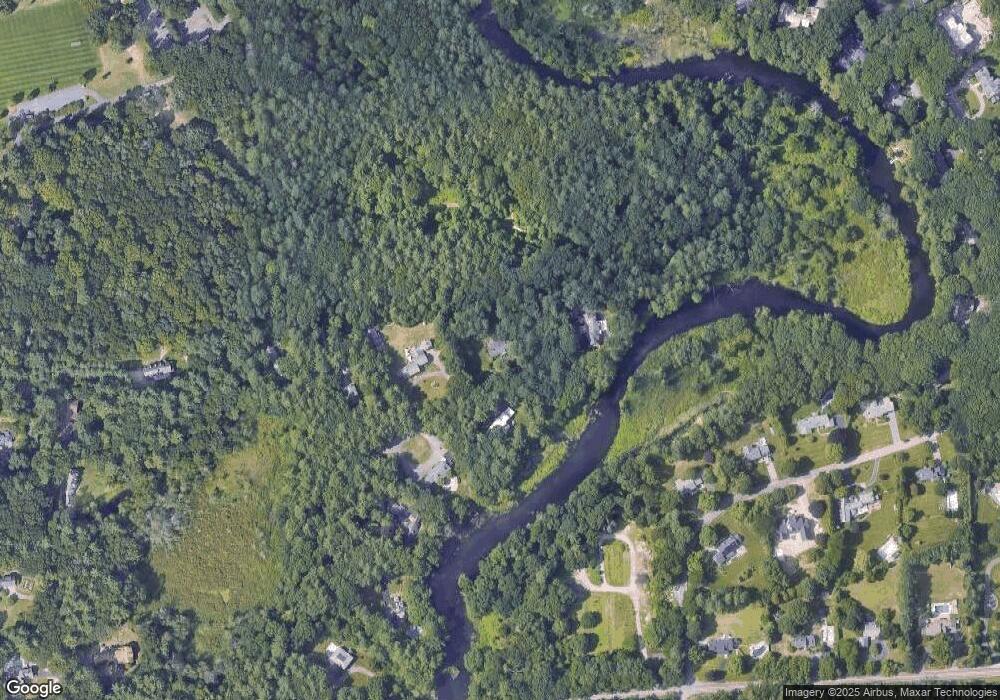
Map
Nearby Homes
- 10 Turtle Ln
- 9 Turtle Ln
- 11 Turtle Ln
- 7 Turtle Ln
- 8 Turtle Ln
- 42 Winding River Rd
- 5 Turtle Ln
- 6 Turtle Ln
- 56 Winding River Rd
- 3 Turtle Ln
- 70 Winding River Rd
- 33 Winding River Rd
- 86 Winding River Rd
- 11 Buttercup Ln
- 1 Turtle Ln
- 59 Winding River Rd
- 901 Charles River St
- 75 Winding River Rd
- 883 Charles River St
- 100 Winding River Rd
Your Personal Tour Guide
Ask me questions while you tour the home.