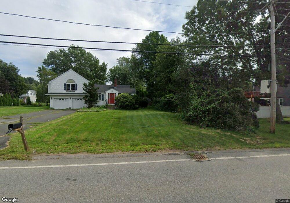
12 Tyler Ave Methuen, MA 01844
The North End NeighborhoodEstimated Value: $673,000 - $744,000
3
Beds
3
Baths
2,148
Sq Ft
$327/Sq Ft
Est. Value
About This Home
This home is located at 12 Tyler Ave, Methuen, MA 01844 and is currently estimated at $702,950, approximately $327 per square foot. 12 Tyler Ave is a home located in Essex County with nearby schools including Methuen High School and Saint Monica School.
Ownership History
Date
Name
Owned For
Owner Type
Purchase Details
Closed on
May 26, 2005
Sold by
Fisichelli Alfred D Es and Fisichelli F
Bought by
Nakhoul Areti Bousios and Nakhoul Walid M
Current Estimated Value
Home Financials for this Owner
Home Financials are based on the most recent Mortgage that was taken out on this home.
Original Mortgage
$288,000
Outstanding Balance
$150,161
Interest Rate
5.94%
Mortgage Type
Purchase Money Mortgage
Estimated Equity
$552,789
Purchase Details
Closed on
Oct 13, 2004
Sold by
Vinciguerra Mark
Bought by
Fisichelli Alfred D
Create a Home Valuation Report for This Property
The Home Valuation Report is an in-depth analysis detailing your home's value as well as a comparison with similar homes in the area
Home Values in the Area
Average Home Value in this Area
Purchase History
| Date | Buyer | Sale Price | Title Company |
|---|---|---|---|
| Nakhoul Areti Bousios | $360,000 | -- | |
| Nakhoul Areti Bousios | $360,000 | -- | |
| Fisichelli Alfred D | $155,000 | -- | |
| Fisichelli Alfred D | $155,000 | -- |
Source: Public Records
Mortgage History
| Date | Status | Borrower | Loan Amount |
|---|---|---|---|
| Open | Nakhoul Areti Bousios | $288,000 | |
| Closed | Fisichelli Alfred D | $288,000 |
Source: Public Records
Tax History
| Year | Tax Paid | Tax Assessment Tax Assessment Total Assessment is a certain percentage of the fair market value that is determined by local assessors to be the total taxable value of land and additions on the property. | Land | Improvement |
|---|---|---|---|---|
| 2025 | $6,292 | $594,700 | $205,900 | $388,800 |
| 2024 | $6,300 | $580,100 | $187,200 | $392,900 |
| 2023 | $6,071 | $518,900 | $165,600 | $353,300 |
| 2022 | $5,711 | $437,600 | $136,800 | $300,800 |
| 2021 | $5,375 | $407,500 | $129,600 | $277,900 |
| 2020 | $5,322 | $396,000 | $129,600 | $266,400 |
| 2019 | $5,262 | $370,800 | $122,400 | $248,400 |
| 2018 | $5,124 | $359,100 | $122,400 | $236,700 |
| 2017 | $4,835 | $330,000 | $115,200 | $214,800 |
| 2016 | $4,830 | $326,100 | $115,200 | $210,900 |
| 2015 | $4,541 | $311,000 | $108,000 | $203,000 |
Source: Public Records
Map
Nearby Homes
- 3 Adams Ave
- 159-161 Howe St
- 64-66 Howe St
- 27 Mary Lou St
- Lot 108 Garden City Rd
- Lot 2 Washington St
- 7 Brentwood Ave
- 25 Carol Ave
- 687 Jackson St
- 10 Evelyn Rd
- 611 Prospect St
- 48 Butler St
- 14 Magna Rd
- 593 Prospect St
- 14 Buttonwood Dr
- 128 Pleasant Valley St
- 55 Phoebe St Unit 32
- 40 Phoebe St Unit 101
- 37 Albion St
- 0 Hampshire Rd
Your Personal Tour Guide
Ask me questions while you tour the home.