12 Vose Farm Rd Peterborough, NH 03458
--
Bed
--
Bath
--
Sq Ft
15.4
Acres
About This Home
This home is located at 12 Vose Farm Rd, Peterborough, NH 03458. 12 Vose Farm Rd is a home located in Hillsborough County with nearby schools including Peterborough Elementary School, South Meadow School, and Conval Regional High School.
Ownership History
Date
Name
Owned For
Owner Type
Purchase Details
Closed on
Sep 12, 2024
Sold by
Nh Catholic Charities
Bought by
Vose Farm Phase 1 Lp
Home Financials for this Owner
Home Financials are based on the most recent Mortgage that was taken out on this home.
Original Mortgage
$3,315,364
Outstanding Balance
$3,279,895
Interest Rate
6.73%
Mortgage Type
Purchase Money Mortgage
Create a Home Valuation Report for This Property
The Home Valuation Report is an in-depth analysis detailing your home's value as well as a comparison with similar homes in the area
Home Values in the Area
Average Home Value in this Area
Purchase History
| Date | Buyer | Sale Price | Title Company |
|---|---|---|---|
| Vose Farm Phase 1 Lp | $100,000 | None Available | |
| Vose Farm Phase 1 Lp | $100,000 | None Available |
Source: Public Records
Mortgage History
| Date | Status | Borrower | Loan Amount |
|---|---|---|---|
| Open | Vose Farm Phase 1 Lp | $3,315,364 | |
| Closed | Vose Farm Phase 1 Lp | $3,315,364 |
Source: Public Records
Tax History Compared to Growth
Tax History
| Year | Tax Paid | Tax Assessment Tax Assessment Total Assessment is a certain percentage of the fair market value that is determined by local assessors to be the total taxable value of land and additions on the property. | Land | Improvement |
|---|---|---|---|---|
| 2024 | $23,335 | $718,000 | $50,000 | $668,000 |
| 2023 | $20,240 | $718,000 | $50,000 | $668,000 |
| 2022 | $18,567 | $718,000 | $50,000 | $668,000 |
| 2021 | $18,496 | $718,000 | $50,000 | $668,000 |
| 2020 | $20,098 | $651,700 | $50,000 | $601,700 |
| 2019 | $19,379 | $651,400 | $50,000 | $601,400 |
| 2018 | $19,601 | $651,400 | $50,000 | $601,400 |
| 2017 | $19,741 | $627,500 | $100,000 | $527,500 |
| 2016 | $27,185 | $881,500 | $112,500 | $769,000 |
| 2015 | $26,169 | $880,800 | $112,500 | $768,300 |
| 2014 | $26,514 | $867,600 | $112,500 | $755,100 |
Source: Public Records
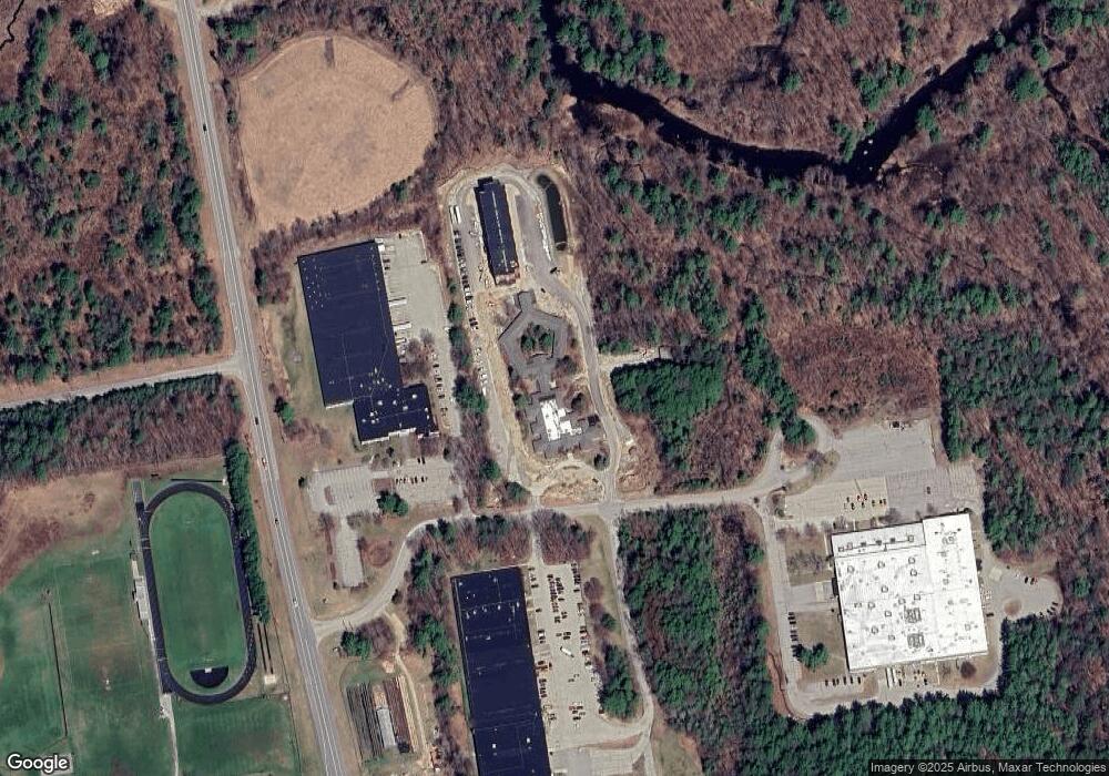
Map
Nearby Homes
- 27 Trail's Edge Common
- 302 Southfield Ln
- 11 Trail's Edge Common
- 77 Hancock Rd
- 102 Taylor Rd
- 29 Lounsbury Ln
- 32 Keenan Dr
- 94 Currier Ave
- 18 E Ridge Dr
- 21 Burke Rd
- 51 Lucy Ln
- 39 Lucy Ln
- 49 Lucy Ln
- 215 General Miller Rd
- 185 General Miller Rd
- off Wilder Farm Rd
- 0 High St
- 514 Old Greenfield Rd
- 21 Woodmans Ln Unit 1
- 69 Murphy Rd
- 10 Vose Farm Rd
- 10 Vose Farm Rd Unit 1
- 0 Vose Farm Rd
- 1 Vose Farm Rd
- 9 Vose Farm Rd
- 708 Southfield Ln
- 706 Southfield Ln
- 705 Southfield Ln
- 704 Southfield Ln
- 507 Southfield Ln
- 509 Southfield Ln
- 608 Southfield Ln
- 606 Southfield Ln
- 504 Southfield Ln
- 604 Southfield Ln
- 609 Southfield Ln
- 607 Southfield Ln
- 605 Southfield Ln
- 603 Southfield Ln
- 610 Southfield Ln