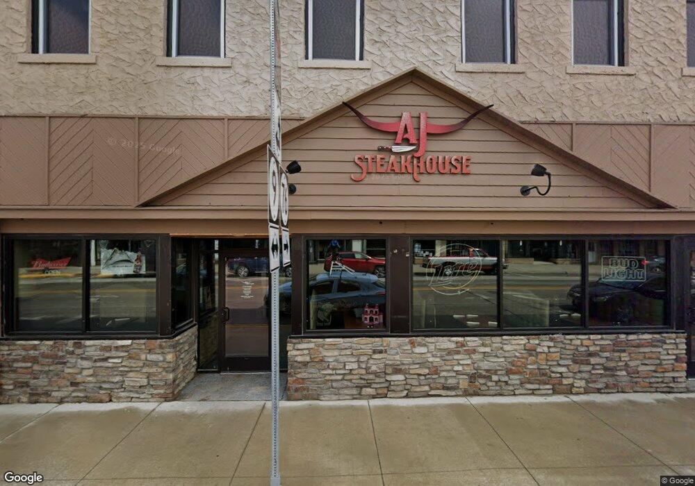
12 W Main St Waukon, IA 52172
--
Bed
--
Bath
3,182
Sq Ft
3,049
Sq Ft Lot
About This Home
This home is located at 12 W Main St, Waukon, IA 52172. 12 W Main St is a home located in Allamakee County with nearby schools including West Campus Elementary School, East Campus Elementary School, and Waukon Middle School.
Create a Home Valuation Report for This Property
The Home Valuation Report is an in-depth analysis detailing your home's value as well as a comparison with similar homes in the area
Home Values in the Area
Average Home Value in this Area
Tax History Compared to Growth
Tax History
| Year | Tax Paid | Tax Assessment Tax Assessment Total Assessment is a certain percentage of the fair market value that is determined by local assessors to be the total taxable value of land and additions on the property. | Land | Improvement |
|---|---|---|---|---|
| 2025 | $10,480 | $447,000 | $12,700 | $434,300 |
| 2024 | $10,480 | $395,000 | $12,700 | $382,300 |
| 2023 | $612 | $395,000 | $12,700 | $382,300 |
| 2022 | $574 | $32,000 | $12,700 | $19,300 |
| 2021 | $924 | $32,000 | $12,700 | $19,300 |
| 2020 | $924 | $31,100 | $12,700 | $18,400 |
| 2019 | $582 | $31,100 | $0 | $0 |
| 2018 | $524 | $29,900 | $0 | $0 |
| 2017 | $524 | $29,900 | $0 | $0 |
| 2016 | $524 | $29,900 | $0 | $0 |
| 2015 | $524 | $29,900 | $0 | $0 |
| 2014 | $1,494 | $76,400 | $0 | $0 |
Source: Public Records
Map
Nearby Homes
- 0 Parcel Id#1031351007 Unit 20211899
- 0 Parcel Id#1506100051 Unit 20211897
- 0 Parcel Id#1031376012 Unit 20211905
- 0 Parcel Id#1031376013 Unit 20211902
- 0 Parcel Id#1031351004 Unit 20211906
- 0 Parcel Id#1031376005 Unit 20211907
- 0 Parcel Id#1031351006 Unit 20211900
- 22 3rd Ave SE
- 306 Sw St
- 208 4th St SW
- 303 5th St SW
- 602 2nd St NW
- 607 W Main St
- Allamakee Co. Ia Parcel Id#
- 605 1st Ave SW
- 0 SW 11th Ave Unit 20222752
- 104 6th Ave SW
- 525 4th St SE
- 821 4th St NW
- 210 Northgate Ave NW
- 7 Spring Ave
- 10 West St SW
- 0 Highway 76 Unit 19729
- 0 Iowa 76
- 22 W Main St
- 7 7th St SW
- 27 Spring Ave
- Allamakee Co Parcel Id # 1031401025
- 0 Parcelid#1031351018 Unit 20211908
- 0 Parcel Id#1031376019 Unit 20211901
- 5 E Main St
- 0 E Main St
- 28 W Main St
- 12 Spring Ave
- 3 Allamakee St
- 30 W Main St
- 12 Allamakee St
- 32 W Main St
- 31 W Main St
- 34 W Main St