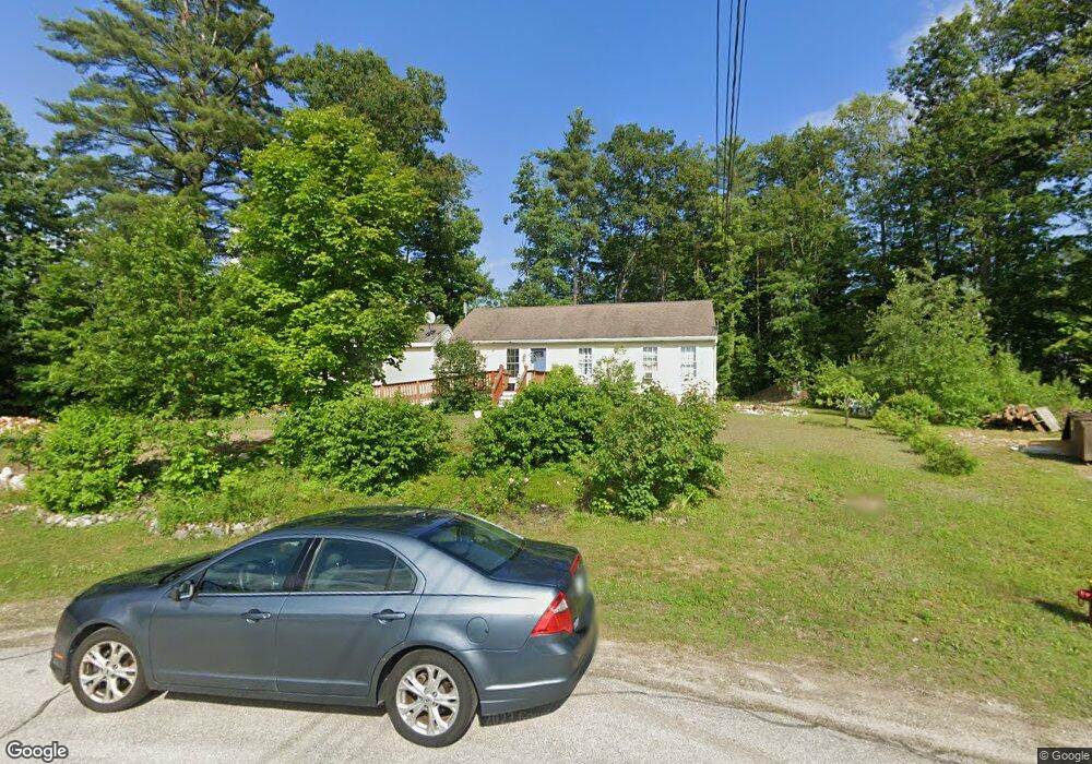
12 Webster Cir Hillsborough, NH 03244
Hillsboro NeighborhoodEstimated Value: $362,000 - $398,000
3
Beds
2
Baths
1,691
Sq Ft
$229/Sq Ft
Est. Value
About This Home
This home is located at 12 Webster Cir, Hillsborough, NH 03244 and is currently estimated at $387,346, approximately $229 per square foot. 12 Webster Cir is a home located in Hillsborough County with nearby schools including Hillsboro-Deering Elementary School, Hillsboro-Deering High School, and Hillsboro Christian School.
Ownership History
Date
Name
Owned For
Owner Type
Purchase Details
Closed on
Sep 15, 2005
Sold by
Colby Street Realty
Bought by
Mackenzie Marsha P
Current Estimated Value
Home Financials for this Owner
Home Financials are based on the most recent Mortgage that was taken out on this home.
Original Mortgage
$183,250
Outstanding Balance
$97,978
Interest Rate
5.84%
Mortgage Type
Purchase Money Mortgage
Estimated Equity
$289,368
Create a Home Valuation Report for This Property
The Home Valuation Report is an in-depth analysis detailing your home's value as well as a comparison with similar homes in the area
Home Values in the Area
Average Home Value in this Area
Purchase History
| Date | Buyer | Sale Price | Title Company |
|---|---|---|---|
| Mackenzie Marsha P | $203,700 | -- |
Source: Public Records
Mortgage History
| Date | Status | Borrower | Loan Amount |
|---|---|---|---|
| Open | Mackenzie Marsha P | $183,250 |
Source: Public Records
Tax History Compared to Growth
Tax History
| Year | Tax Paid | Tax Assessment Tax Assessment Total Assessment is a certain percentage of the fair market value that is determined by local assessors to be the total taxable value of land and additions on the property. | Land | Improvement |
|---|---|---|---|---|
| 2024 | $6,942 | $207,600 | $74,800 | $132,800 |
| 2023 | $6,481 | $207,600 | $74,800 | $132,800 |
| 2022 | $5,541 | $207,600 | $74,800 | $132,800 |
| 2021 | $6,004 | $207,600 | $74,800 | $132,800 |
| 2020 | $5,964 | $207,600 | $74,800 | $132,800 |
| 2018 | $5,177 | $175,500 | $54,400 | $121,100 |
| 2017 | $5,347 | $175,500 | $54,400 | $121,100 |
| 2016 | $5,039 | $170,700 | $46,900 | $123,800 |
| 2015 | $4,959 | $170,700 | $46,900 | $123,800 |
| 2014 | $4,704 | $170,700 | $46,900 | $123,800 |
| 2013 | $4,790 | $170,700 | $46,900 | $123,800 |
Source: Public Records
Map
Nearby Homes
- 32 Union St
- 10 Deering Center Rd
- 88 W Mill St
- 73 W Main St
- 20-22 Church St
- 1 W Main St
- 31 Woodlawn Ave
- 86 Manselville Rd
- 31 Central St Unit G
- 23 Pleasant St
- 45 Keyes Farm Rd
- 9 Wyman Rd
- 5 Chamberlain Ct Unit 56
- 21 Wyman Rd
- 0 W Main St Unit 1
- 0 Route 202 Route Unit 4983445
- 00 Rochester Rd Unit 32
- Lot 14 Old Mill Farm Rd
- 28 Merrill Rd
- 0 Red Fox Crossing Unit 34 4858470