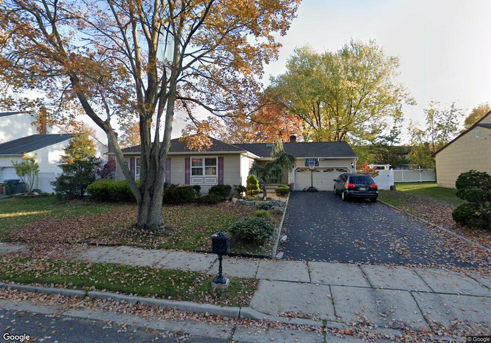
12 Whittier St Edison, NJ 08820
Estimated Value: $736,000 - $809,000
3
Beds
2
Baths
1,660
Sq Ft
$466/Sq Ft
Est. Value
About This Home
This home is located at 12 Whittier St, Edison, NJ 08820 and is currently estimated at $774,131, approximately $466 per square foot. 12 Whittier St is a home located in Middlesex County with nearby schools including James Madison Primary School, James Madison Intermediate School, and John Adams Middle School.
Ownership History
Date
Name
Owned For
Owner Type
Purchase Details
Closed on
Apr 18, 2019
Sold by
Iyengar Mukundan and Iyengar Kirti
Bought by
Thanvi Rajeshkumar and Purohit Sarita Nandkishor
Current Estimated Value
Home Financials for this Owner
Home Financials are based on the most recent Mortgage that was taken out on this home.
Original Mortgage
$363,000
Outstanding Balance
$233,756
Interest Rate
4%
Mortgage Type
New Conventional
Estimated Equity
$540,375
Create a Home Valuation Report for This Property
The Home Valuation Report is an in-depth analysis detailing your home's value as well as a comparison with similar homes in the area
Home Values in the Area
Average Home Value in this Area
Purchase History
| Date | Buyer | Sale Price | Title Company |
|---|---|---|---|
| Thanvi Rajeshkumar | $460,000 | Golden Title Agency Llc |
Source: Public Records
Mortgage History
| Date | Status | Borrower | Loan Amount |
|---|---|---|---|
| Open | Thanvi Rajeshkumar | $363,000 |
Source: Public Records
Tax History Compared to Growth
Tax History
| Year | Tax Paid | Tax Assessment Tax Assessment Total Assessment is a certain percentage of the fair market value that is determined by local assessors to be the total taxable value of land and additions on the property. | Land | Improvement |
|---|---|---|---|---|
| 2025 | $11,942 | $200,600 | $119,200 | $81,400 |
| 2024 | $11,878 | $200,600 | $119,200 | $81,400 |
| 2023 | $11,878 | $200,600 | $119,200 | $81,400 |
| 2022 | $11,882 | $200,600 | $119,200 | $81,400 |
| 2021 | $11,400 | $200,600 | $119,200 | $81,400 |
| 2020 | $13,780 | $235,600 | $119,200 | $116,400 |
| 2019 | $12,741 | $235,600 | $119,200 | $116,400 |
| 2018 | $12,254 | $235,600 | $119,200 | $116,400 |
| 2017 | $12,136 | $235,600 | $119,200 | $116,400 |
| 2016 | $11,912 | $235,600 | $119,200 | $116,400 |
| 2015 | $11,460 | $235,600 | $119,200 | $116,400 |
| 2014 | $11,134 | $235,600 | $119,200 | $116,400 |
Source: Public Records
Map
Nearby Homes
- 87 Ellmyer Rd
- 7 Oberlin Ct
- 23 Jonathan Dr
- 35 Revere Blvd
- 38 Revere Blvd
- 9 Vallata Place
- 70 Livingston Ave
- 4807 Stonehedge Rd
- 3606 Spring Brook Dr
- 3606 Springbrook Dr
- 975 Inman Ave
- 990 Inman Ave
- 12 W Clark Place
- 47 Preston Rd
- 35 W Iselin Pkwy
- 11 Bernice St
- 64 W Francis St
- 868 Inman Ave
- 54 Montclair Ave
- 984 Feather Bed Ln
- 10 Whittier St
- 14 Whittier St
- 94 Stratford Cir
- 92 Stratford Cir
- 96 Stratford Cir
- 8 Whittier St
- 9 Whittier St
- 98 Stratford Cir
- 11 Whittier St
- 7 Whittier St
- 100 Stratford Cir
- 85 Stratford Cir
- 87 Stratford Cir
- 83 Stratford Cir
- 6 Whittier St
- 95 Stratford Cir
- 93 Stratford Cir
- 89 Stratford Cir
- 78 Stratford Cir
- 9 Vauxhall Ct