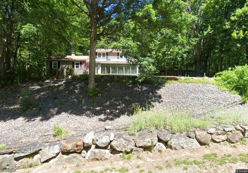
12 Winter Hill Rd Goffstown, NH 03045
Estimated Value: $490,000 - $510,866
2
Beds
3
Baths
1,536
Sq Ft
$325/Sq Ft
Est. Value
About This Home
This home is located at 12 Winter Hill Rd, Goffstown, NH 03045 and is currently estimated at $499,217, approximately $325 per square foot. 12 Winter Hill Rd is a home with nearby schools including Mountain View Middle School and Goffstown High School.
Ownership History
Date
Name
Owned For
Owner Type
Purchase Details
Closed on
May 5, 2024
Sold by
Neff Leslie W
Bought by
David & P Packard Ret and Packard
Current Estimated Value
Purchase Details
Closed on
Apr 16, 2024
Sold by
Packard David W and Packard Patricia A
Bought by
David & P Packard Ret and Packard
Purchase Details
Closed on
Jul 30, 1979
Bought by
Packard David W
Create a Home Valuation Report for This Property
The Home Valuation Report is an in-depth analysis detailing your home's value as well as a comparison with similar homes in the area
Home Values in the Area
Average Home Value in this Area
Purchase History
| Date | Buyer | Sale Price | Title Company |
|---|---|---|---|
| David & P Packard Ret | -- | None Available | |
| David & P Packard Ret | -- | None Available | |
| David & P Packard Ret | -- | None Available | |
| David & P Packard Ret | -- | None Available | |
| Packard David W | -- | -- |
Source: Public Records
Mortgage History
| Date | Status | Borrower | Loan Amount |
|---|---|---|---|
| Previous Owner | Packard David W | $16,812 | |
| Previous Owner | Packard David W | $16,812 |
Source: Public Records
Tax History Compared to Growth
Tax History
| Year | Tax Paid | Tax Assessment Tax Assessment Total Assessment is a certain percentage of the fair market value that is determined by local assessors to be the total taxable value of land and additions on the property. | Land | Improvement |
|---|---|---|---|---|
| 2024 | $8,472 | $414,500 | $186,800 | $227,700 |
| 2023 | $7,800 | $413,600 | $185,900 | $227,700 |
| 2022 | $6,983 | $265,400 | $120,300 | $145,100 |
| 2021 | $6,587 | $265,400 | $120,300 | $145,100 |
| 2020 | $6,587 | $265,400 | $120,300 | $145,100 |
| 2019 | $7,688 | $265,400 | $120,300 | $145,100 |
| 2018 | $7,715 | $265,400 | $120,300 | $145,100 |
| 2017 | $6,320 | $230,500 | $104,200 | $126,300 |
| 2016 | $6,092 | $230,500 | $104,200 | $126,300 |
| 2015 | $6,097 | $216,500 | $96,700 | $119,800 |
| 2014 | $5,927 | $219,500 | $96,700 | $122,800 |
Source: Public Records
Map
Nearby Homes
- 22 Winter Hill Rd
- 2 Larch St Unit 1
- 137 Elm St
- 12 Maplewood Ave
- 99 Elm St
- 152 S Mast St
- 120 S Mast St
- 39 S Mast St
- 12 S Mast St
- 45 Range Rd
- 25 Pleasant St
- 21A Apple Tree Dr
- 16 Palmer Rd
- 88 Saunders Rd
- 76 Donald Dr
- 243 Donald Dr
- 0 Mast Rd Unit 49 5054665
- 22 Peppermint St
- 232 N Mast St
- 602 Black Brook Rd
- 17 Winter Hill Rd
- 8 Winter Hill Rd
- 35 Winter Hill Rd
- 51 Paige Hill Rd
- 30 Winter Hill Rd
- 132 Winter Hill Rd
- 122 Winter Hill Rd
- 41 Paige Hill Rd
- 99 Paige Hill Rd
- 76 Paige Hill Rd
- 125 Winter Hill Rd
- 43 Winter Hill Rd
- 92 Winter Hill Rd
- 88 Paige Hill Rd
- 31 Paige Hill Rd
- 115 Winter Hill Rd
- 86 Winter Hill Rd
- 36 Paige Hill Rd
- 27 Paige Hill Rd
- 47 Winter Hill Rd