12 Woodsum Dr Newbury, NH 03255
Estimated Value: $586,154 - $746,000
2
Beds
2
Baths
1,903
Sq Ft
$348/Sq Ft
Est. Value
About This Home
This home is located at 12 Woodsum Dr, Newbury, NH 03255 and is currently estimated at $662,789, approximately $348 per square foot. 12 Woodsum Dr is a home with nearby schools including Kearsarge Regional Elementary School at Bradford, Kearsarge Regional Middle School, and Kearsarge Regional High School.
Ownership History
Date
Name
Owned For
Owner Type
Purchase Details
Closed on
Aug 26, 2019
Sold by
Mistretta Glen
Bought by
Parrillo Christine and Parrillo Christopher A
Current Estimated Value
Home Financials for this Owner
Home Financials are based on the most recent Mortgage that was taken out on this home.
Original Mortgage
$265,000
Outstanding Balance
$232,594
Interest Rate
3.7%
Mortgage Type
Purchase Money Mortgage
Estimated Equity
$430,195
Purchase Details
Closed on
May 16, 2006
Sold by
Welch John A
Bought by
Mistretta Glen and Mistretta Laurie C
Create a Home Valuation Report for This Property
The Home Valuation Report is an in-depth analysis detailing your home's value as well as a comparison with similar homes in the area
Home Values in the Area
Average Home Value in this Area
Purchase History
| Date | Buyer | Sale Price | Title Company |
|---|---|---|---|
| Parrillo Christine | $340,000 | -- | |
| Mistretta Glen | $10,000 | -- |
Source: Public Records
Mortgage History
| Date | Status | Borrower | Loan Amount |
|---|---|---|---|
| Open | Parrillo Christine | $265,000 |
Source: Public Records
Tax History Compared to Growth
Tax History
| Year | Tax Paid | Tax Assessment Tax Assessment Total Assessment is a certain percentage of the fair market value that is determined by local assessors to be the total taxable value of land and additions on the property. | Land | Improvement |
|---|---|---|---|---|
| 2024 | $4,736 | $362,900 | $121,100 | $241,800 |
| 2023 | $4,736 | $362,900 | $121,100 | $241,800 |
| 2022 | $4,130 | $362,900 | $121,100 | $241,800 |
| 2021 | $4,130 | $362,900 | $121,100 | $241,800 |
| 2020 | $4,540 | $274,800 | $76,500 | $198,300 |
| 2019 | $3,951 | $248,800 | $76,500 | $172,300 |
| 2018 | $3,993 | $257,600 | $76,500 | $181,100 |
| 2017 | $4,053 | $258,000 | $76,500 | $181,500 |
| 2016 | $3,178 | $198,000 | $76,500 | $121,500 |
| 2015 | $2,926 | $179,700 | $87,500 | $92,200 |
| 2014 | $2,784 | $179,700 | $87,500 | $92,200 |
| 2013 | $726 | $48,600 | $48,600 | $0 |
Source: Public Records
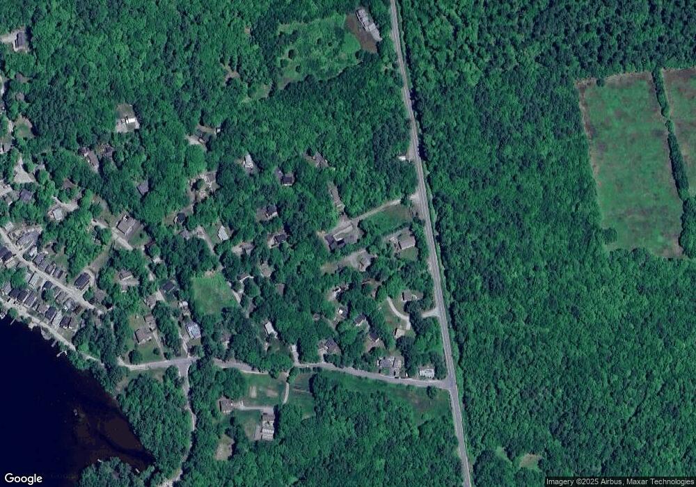
Map
Nearby Homes
- 37 Baker Hill Rd
- 91 Chalk Pond Rd
- 12 Shadow Ln
- Lower Crest Rd
- 253 Lake Ave
- 30 Greystone Ln
- 25 Hilltop Dr
- 81 Gerald Dr
- 273 Forest Acres Rd
- 344 Chalk Pond Rd
- 0 Edgemont Rd Unit 44
- 0 Route 103a Map 91 Lot 37 38 Unit 37 & 38 5058839
- 315 Edgemont Rd
- 14 Lake Ave Unit 1
- 14 Lake Ave Unit 10
- 8 Snow Rd
- 274 Edgemont Rd
- 20 Edgemont Landing Rd
- 55 High St
- 0 Summit Rd Unit 431
- 00 Woodsum Dr
- 810 Route 103a
- 812 Route 103a
- 13 Woodsum Dr
- Lots E & F Woodsum Dr
- 810 New Hampshire 103a
- 16 Weetamoo Dr
- 10 Perry Ct
- 12 Willis Way
- 12 Weetamoo Dr
- 0 Woodsum Unit 4663667
- 0 Woodsum Unit 4810168
- 0 Woodsum Unit 4487752
- Lot 26 Perry Ct
- 19 Armenia White Dr
- 7 Perry Ct
- 6 Weetamoo Dr
- 15 Armenia White Dr
- 17 Weetamoo Dr
- 6 Kearsarge Dr