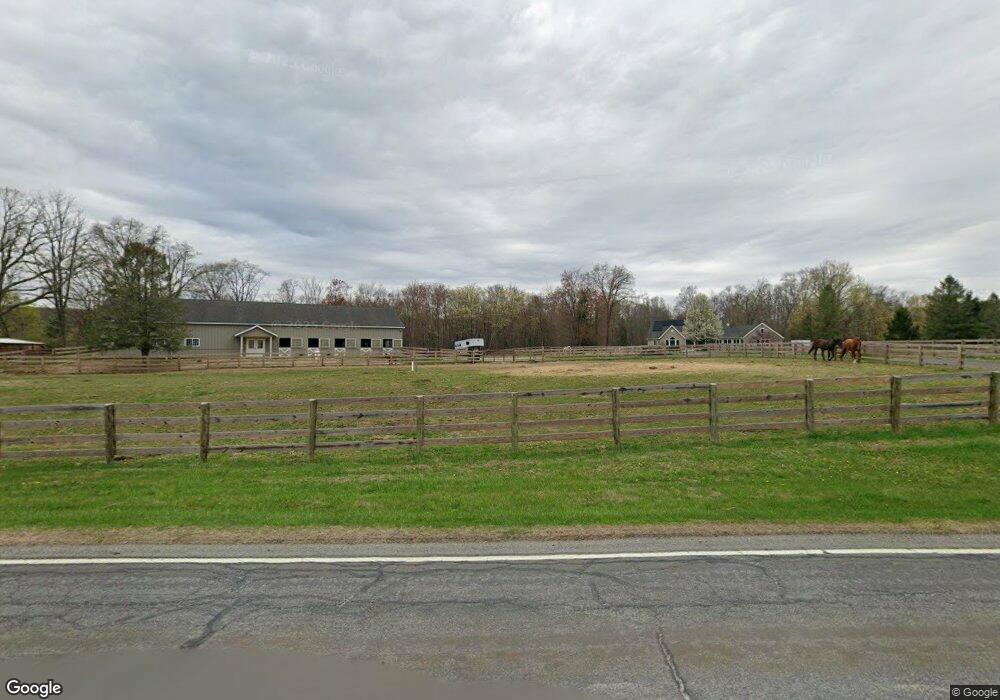
12 Wykertown Rd Branchville, NJ 07826
Estimated Value: $623,000 - $834,000
--
Bed
--
Bath
2,554
Sq Ft
$271/Sq Ft
Est. Value
About This Home
This home is located at 12 Wykertown Rd, Branchville, NJ 07826 and is currently estimated at $691,228, approximately $270 per square foot. 12 Wykertown Rd is a home with nearby schools including Frankford Township School and High Point Regional High School.
Ownership History
Date
Name
Owned For
Owner Type
Purchase Details
Closed on
Nov 2, 2004
Sold by
Allen Kimberly
Bought by
Noland Evelyn
Current Estimated Value
Purchase Details
Closed on
Sep 5, 2002
Sold by
Noland Evelyn
Bought by
Allen Kimberly
Purchase Details
Closed on
Oct 26, 1999
Sold by
Willis Robert A
Bought by
Noland Evelyn
Create a Home Valuation Report for This Property
The Home Valuation Report is an in-depth analysis detailing your home's value as well as a comparison with similar homes in the area
Home Values in the Area
Average Home Value in this Area
Purchase History
| Date | Buyer | Sale Price | Title Company |
|---|---|---|---|
| Noland Evelyn | -- | -- | |
| Allen Kimberly | -- | Chicago Title Insurance Co | |
| Noland Evelyn | $78,000 | Chicago Title Insurance Co |
Source: Public Records
Tax History Compared to Growth
Tax History
| Year | Tax Paid | Tax Assessment Tax Assessment Total Assessment is a certain percentage of the fair market value that is determined by local assessors to be the total taxable value of land and additions on the property. | Land | Improvement |
|---|---|---|---|---|
| 2025 | $13,297 | $447,100 | $132,100 | $315,000 |
| 2024 | $12,899 | $447,100 | $132,100 | $315,000 |
| 2023 | $12,899 | $447,100 | $132,100 | $315,000 |
| 2022 | $12,586 | $447,100 | $132,100 | $315,000 |
| 2021 | $12,206 | $447,100 | $132,100 | $315,000 |
| 2020 | $11,857 | $447,100 | $132,100 | $315,000 |
| 2019 | $11,522 | $447,100 | $132,100 | $315,000 |
| 2018 | $11,414 | $447,100 | $132,100 | $315,000 |
| 2017 | $11,374 | $447,100 | $132,100 | $315,000 |
| 2016 | $11,517 | $447,100 | $132,100 | $315,000 |
| 2015 | $10,265 | $400,500 | $85,500 | $315,000 |
| 2014 | $10,501 | $400,500 | $85,500 | $315,000 |
Source: Public Records
Map
Nearby Homes
- 64 Mattison Rd
- 80, 82 George Hill Rd
- 99 Phillips Rd
- 20 Pines Rd
- 26 Dickerson Rd
- 127 E Shore Culver Rd
- 515 Kemah Lake Rd
- 30 - 31 E Shore Culver Rd
- 83 Hyatt Rd
- 7 Stempert Rd
- 29 Plains Rd
- 78 E Shore Culver Rd
- 23 Plains Rd
- 59 Newton Ave
- 10 Lakewood Trail
- 1 Lakeview Point Ave
- 605 County Road 565
- 15 Forest St
- 216 Mattison Reservoir Ave
- 220 Mattison Reservoir Ave
- 8 Wykertown Rd
- 6 Wykertown Rd
- 80 Fox Hill Rd
- 102 Wantage Ave
- 16 Wykertown Rd
- 106 Wantage Ave
- 98 Wantage Ave
- 4 Wykertown Rd
- 108 Wantage Ave
- 17 Wykertown Rd
- 5 Wykertown Rd
- 99 Wantage Ave
- 97 Wantage Ave
- 101 Wantage Ave
- 114 Wantage Ave
- 116 Wantage Ave
- 105 Wantage Ave
- 94 Wantage Ave
- 120 Wantage Ave
- 92 Wantage Ave