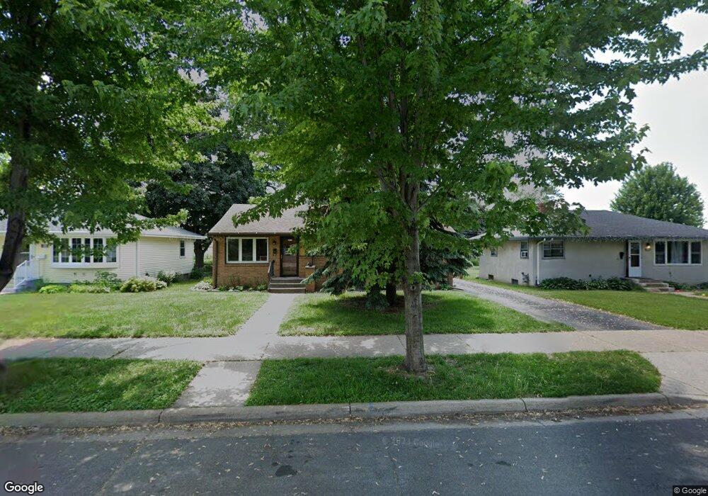
120 120 Ash St E South St. Paul, MN 55075
Estimated Value: $298,000 - $326,000
3
Beds
2
Baths
1,092
Sq Ft
$282/Sq Ft
Est. Value
About This Home
This home is located at 120 120 Ash St E, South St. Paul, MN 55075 and is currently estimated at $308,070, approximately $282 per square foot. 120 120 Ash St E is a home located in Dakota County with nearby schools including Kaposia Education Center Elementary, South St. Paul Secondary, and Discovery Charter School.
Ownership History
Date
Name
Owned For
Owner Type
Purchase Details
Closed on
Sep 12, 2014
Sold by
Fannie Mae
Bought by
Moen Nicole H and Moen Samuel J
Current Estimated Value
Home Financials for this Owner
Home Financials are based on the most recent Mortgage that was taken out on this home.
Original Mortgage
$136,620
Outstanding Balance
$103,538
Interest Rate
3.87%
Mortgage Type
FHA
Estimated Equity
$204,532
Purchase Details
Closed on
May 10, 2013
Sold by
Citimortgage Inc
Bought by
Federal National Mortgage Association
Purchase Details
Closed on
Apr 4, 2013
Sold by
Staab William and Staab Katherine
Bought by
Citimortgage Inc
Purchase Details
Closed on
Jul 29, 2000
Sold by
Heckman Sharon A and Heckman Fritz R
Bought by
Staab William E and Staab Katherine S
Create a Home Valuation Report for This Property
The Home Valuation Report is an in-depth analysis detailing your home's value as well as a comparison with similar homes in the area
Home Values in the Area
Average Home Value in this Area
Purchase History
| Date | Buyer | Sale Price | Title Company |
|---|---|---|---|
| Moen Nicole H | -- | First Financial Title Agency | |
| Federal National Mortgage Association | -- | None Available | |
| Citimortgage Inc | $169,742 | None Available | |
| Staab William E | $151,000 | -- |
Source: Public Records
Mortgage History
| Date | Status | Borrower | Loan Amount |
|---|---|---|---|
| Open | Moen Nicole H | $136,620 |
Source: Public Records
Tax History Compared to Growth
Tax History
| Year | Tax Paid | Tax Assessment Tax Assessment Total Assessment is a certain percentage of the fair market value that is determined by local assessors to be the total taxable value of land and additions on the property. | Land | Improvement |
|---|---|---|---|---|
| 2024 | $3,492 | $270,100 | $73,100 | $197,000 |
| 2023 | $3,492 | $260,600 | $73,500 | $187,100 |
| 2022 | $2,970 | $260,800 | $73,500 | $187,300 |
| 2021 | $2,844 | $227,800 | $63,900 | $163,900 |
| 2020 | $2,634 | $215,600 | $60,900 | $154,700 |
| 2019 | $2,359 | $206,400 | $58,000 | $148,400 |
| 2018 | $2,247 | $180,800 | $52,700 | $128,100 |
| 2017 | $1,956 | $167,200 | $50,200 | $117,000 |
| 2016 | $2,341 | $152,400 | $45,700 | $106,700 |
| 2015 | $1,859 | $150,600 | $43,500 | $107,100 |
| 2014 | -- | $123,971 | $36,462 | $87,509 |
| 2013 | -- | $112,308 | $31,269 | $81,039 |
Source: Public Records
Map
Nearby Homes
- 137 South St E
- 1436 5th Ave S
- 101 Frost St W
- 1456 6th Ave S
- 1403 Concord St S Unit 1
- 233 Richmond St W
- 1434 8th Ave S
- 100 W Warburton St
- 1215 8th Ave S
- 6050 Cahill Ave
- 5472 Bryce Ave
- 151 Park St W
- 5938 Burke Trail
- 1127 9th Ave S
- 6051 Concord Blvd
- 5903 Bryant Ln
- 6445 Coryell Ct
- 4020 64th St E
- 928 8th Ave S
- 5870 Blackberry Bridge Path