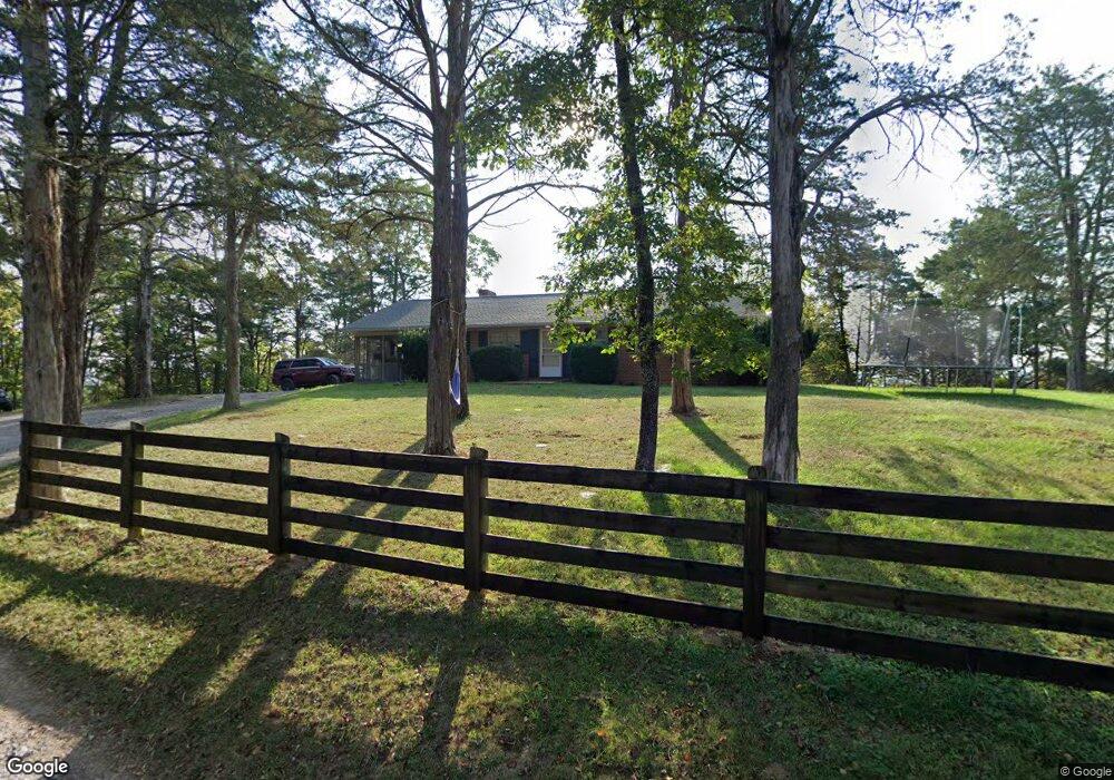
120 Alvin Ln Lexington, VA 24450
Estimated Value: $281,892 - $356,000
3
Beds
2
Baths
1,440
Sq Ft
$211/Sq Ft
Est. Value
About This Home
This home is located at 120 Alvin Ln, Lexington, VA 24450 and is currently estimated at $303,223, approximately $210 per square foot. 120 Alvin Ln is a home located in Rockbridge County with nearby schools including Rockbridge County High School and Earthsong Community School.
Ownership History
Date
Name
Owned For
Owner Type
Purchase Details
Closed on
Jul 24, 2025
Sold by
Tilson Carter Sally
Bought by
High Cedars Llc
Current Estimated Value
Purchase Details
Closed on
May 20, 2025
Sold by
Carter Family Trust and Tilson Carter Sally
Bought by
Tilson Carter Sally
Purchase Details
Closed on
Oct 20, 2022
Sold by
Carter Virginia R
Bought by
Carter Family Trust
Create a Home Valuation Report for This Property
The Home Valuation Report is an in-depth analysis detailing your home's value as well as a comparison with similar homes in the area
Home Values in the Area
Average Home Value in this Area
Purchase History
| Date | Buyer | Sale Price | Title Company |
|---|---|---|---|
| High Cedars Llc | -- | None Listed On Document | |
| Tilson Carter Sally | -- | None Listed On Document | |
| Tilson Carter Sally | -- | None Listed On Document | |
| Carter Family Trust | -- | -- |
Source: Public Records
Tax History Compared to Growth
Tax History
| Year | Tax Paid | Tax Assessment Tax Assessment Total Assessment is a certain percentage of the fair market value that is determined by local assessors to be the total taxable value of land and additions on the property. | Land | Improvement |
|---|---|---|---|---|
| 2025 | $1,176 | $192,800 | $53,600 | $139,200 |
| 2024 | $1,176 | $192,800 | $53,600 | $139,200 |
| 2023 | $1,176 | $192,800 | $53,600 | $139,200 |
| 2022 | $1,261 | $170,400 | $47,700 | $122,700 |
| 2021 | $1,261 | $170,400 | $47,700 | $122,700 |
| 2020 | $1,261 | $170,400 | $47,700 | $122,700 |
| 2019 | $1,244 | $170,400 | $47,700 | $122,700 |
| 2018 | $1,193 | $170,400 | $47,700 | $122,700 |
| 2017 | $1,193 | $170,400 | $47,700 | $122,700 |
| 2016 | $1,091 | $148,500 | $38,200 | $110,300 |
| 2015 | -- | $0 | $0 | $0 |
| 2014 | -- | $0 | $0 | $0 |
| 2013 | -- | $0 | $0 | $0 |
Source: Public Records
Map
Nearby Homes
- 519 Arpia St
- 301 Walker St
- 2.4 Ac. Waddell St
- 108 Moore St
- 219 Marble Ln
- 201 Fuller St
- 110 Mccormick St
- 0 Bunker Hill Mill Rd Unit 23370452
- 2 Hamric St
- 521 S Main St
- 408 Maury St
- 321 S Main St
- 407 Carruthers St
- 4 White St
- 8 Woodduck Rd
- 0034
- 41 Chamberlain Loop
- 46 Chamberlain Loop
- 6 Coe Place
- 17 New Cameron Dr
- 68 Red Bud Ln
- 48 Red Bud Ln
- 353 E Midland Trail
- 33 Red Bud Ln
- 369 E Midland Trail
- 323 E Midland Trail
- 62 Hill Top Ln
- 398 E Midland Trail Unit U S 60
- 398 E Midland Trail
- 360 E Midland Trail
- 97 Red Bud Ln
- 45 Hill Top Ln
- 396 E Midland Trail
- 206 Alvin Ln
- 493 E Midland Trail
- 8 Woodcote Ln
- 687 E Midland Trail
- 502 E Midland Trail
- 256 E Midland Trail
- 235 E Midland Trail