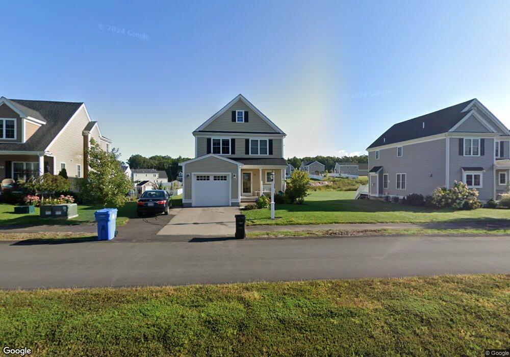
120 Black Birch Dr Wrentham, MA 02093
Estimated Value: $414,404 - $474,000
3
Beds
3
Baths
1,706
Sq Ft
$264/Sq Ft
Est. Value
About This Home
This home is located at 120 Black Birch Dr, Wrentham, MA 02093 and is currently estimated at $449,851, approximately $263 per square foot. 120 Black Birch Dr is a home with nearby schools including Delaney Elementary School and Charles E Roderick.
Ownership History
Date
Name
Owned For
Owner Type
Purchase Details
Closed on
Aug 26, 2019
Sold by
Beaven Sarah E
Bought by
Beaven Sarah E and Beaven Ryan M
Current Estimated Value
Purchase Details
Closed on
Nov 19, 2014
Sold by
Eaglebrook Dev Llc
Bought by
Steele Sarah E
Home Financials for this Owner
Home Financials are based on the most recent Mortgage that was taken out on this home.
Original Mortgage
$192,375
Interest Rate
4.13%
Mortgage Type
New Conventional
Create a Home Valuation Report for This Property
The Home Valuation Report is an in-depth analysis detailing your home's value as well as a comparison with similar homes in the area
Home Values in the Area
Average Home Value in this Area
Purchase History
| Date | Buyer | Sale Price | Title Company |
|---|---|---|---|
| Beaven Sarah E | -- | -- | |
| Steele Sarah E | $202,500 | -- |
Source: Public Records
Mortgage History
| Date | Status | Borrower | Loan Amount |
|---|---|---|---|
| Previous Owner | Steele Sarah E | $192,375 |
Source: Public Records
Tax History Compared to Growth
Tax History
| Year | Tax Paid | Tax Assessment Tax Assessment Total Assessment is a certain percentage of the fair market value that is determined by local assessors to be the total taxable value of land and additions on the property. | Land | Improvement |
|---|---|---|---|---|
| 2025 | $2,839 | $244,955 | $231,300 | $13,655 |
| 2024 | $2,430 | $0 | $0 | $0 |
| 2023 | $2,556 | $202,500 | $0 | $0 |
| 2022 | $2,768 | $202,500 | $0 | $0 |
| 2021 | $2,849 | $202,500 | $191,200 | $11,300 |
| 2020 | $2,886 | $202,500 | $145,900 | $56,600 |
| 2019 | $2,859 | $202,500 | $145,900 | $56,600 |
| 2018 | $2,884 | $202,500 | $139,200 | $63,300 |
| 2017 | $3,068 | $215,300 | $143,300 | $72,000 |
| 2016 | $3,027 | $212,000 | $139,200 | $72,800 |
| 2015 | $1,600 | $106,800 | $33,400 | $73,400 |
| 2014 | $493 | $32,200 | $32,200 | $0 |
Source: Public Records
Map
Nearby Homes
- 570 Franklin St
- 50 Reed Fulton Ave Unit Lot 61
- 45 Joshua Rd
- 11 Elliot Mills Unit 11
- 12 Waites Crossing Way
- 131 Creek St Unit 7
- 11 Waites Crossing
- 20 Waites Crossing
- 19 Waites Crossing
- 9 Waites Crossing
- 13 Waites Crossing
- 246 Forest Grove Ave
- Lot 3 - 14 Earle Stewart Ln
- 11 Earle Stewart Ln
- 10 Nature View Dr
- 15 Nature View Dr
- Lot 1 - Blueberry 2 Car Plan at King Philip Estates
- Lot 8 - Blueberry 2 Car Plan at King Philip Estates
- Lot 6 - Blueberry 3 Car Plan at King Philip Estates
- Lot 2 - Camden 2 Car Plan at King Philip Estates
- 130 Black Birch Dr
- 110 Black Birch Dr
- 165 Red Fox Run
- 100 Black Birch Dr
- 155 Red Fox Run
- 135 Black Birch Dr
- 145 Black Birch Dr
- 90 Black Birch Dr
- 145 Red Fox Run
- 115 Black Birch Dr
- 135 Red Fox Run
- 105 Black Birch Dr
- 180 Red Fox Run
- 174 Red Fox Run
- 155 Black Birch Dr
- 80 Black Birch Dr
- 125 Red Fox Run
- 95 Black Birch Dr
- 35 Red Fox Run
- 105 Red Fox Run