120 Bluestone Dr Dundas, MN 55019
Estimated Value: $457,622 - $545,000
4
Beds
4
Baths
1,662
Sq Ft
$299/Sq Ft
Est. Value
About This Home
This home is located at 120 Bluestone Dr, Dundas, MN 55019 and is currently estimated at $496,406, approximately $298 per square foot. 120 Bluestone Dr is a home located in Rice County with nearby schools including Bridgewater Elementary School, Northfield Middle School, and Northfield Senior High School.
Ownership History
Date
Name
Owned For
Owner Type
Purchase Details
Closed on
May 7, 2020
Sold by
Olson Jerald W and Olson Kari J
Bought by
Olson Jerald W and Olson Kari J
Current Estimated Value
Purchase Details
Closed on
May 25, 2006
Sold by
College City Homes Inc
Bought by
Olson Jerald W and Olson Kari J
Create a Home Valuation Report for This Property
The Home Valuation Report is an in-depth analysis detailing your home's value as well as a comparison with similar homes in the area
Purchase History
| Date | Buyer | Sale Price | Title Company |
|---|---|---|---|
| Olson Jerald W | -- | None Available | |
| Olson Jerald W | $371,717 | -- | |
| College City Homes Inc | $77,900 | -- |
Source: Public Records
Tax History
| Year | Tax Paid | Tax Assessment Tax Assessment Total Assessment is a certain percentage of the fair market value that is determined by local assessors to be the total taxable value of land and additions on the property. | Land | Improvement |
|---|---|---|---|---|
| 2025 | $6,766 | $448,100 | $123,000 | $325,100 |
| 2024 | $6,766 | $422,900 | $120,400 | $302,500 |
| 2023 | $5,882 | $422,900 | $120,400 | $302,500 |
| 2022 | $5,126 | $393,800 | $120,400 | $273,400 |
| 2021 | $4,770 | $323,800 | $85,300 | $238,500 |
| 2020 | $4,528 | $294,700 | $82,800 | $211,900 |
| 2019 | $4,094 | $281,400 | $82,800 | $198,600 |
| 2018 | $3,846 | $250,300 | $70,300 | $180,000 |
| 2017 | $3,420 | $232,500 | $70,300 | $162,200 |
| 2016 | $3,482 | $212,200 | $65,200 | $147,000 |
| 2015 | $3,406 | $202,700 | $65,200 | $137,500 |
| 2014 | -- | $202,700 | $65,200 | $137,500 |
Source: Public Records
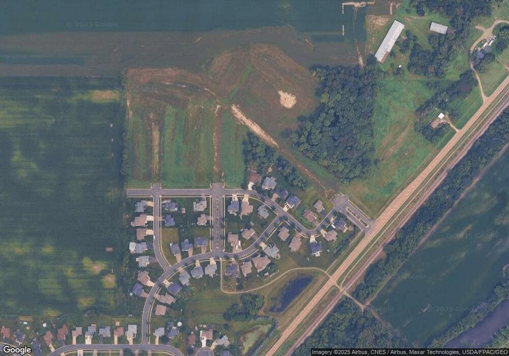
Map
Nearby Homes
- 607 Miller Ct
- 502 Springwheat Dr
- xxx Weaver Rd
- 210 Mill St W
- TBD Minnesota 3
- Outlot Honeylocust Dr
- 2718 Brockman Ct Unit 714
- 2620 Oak Lawn Dr
- 1900 Jefferson Rd
- 2804 Oak Lawn Dr
- 2300 Pepper Ridge Ln
- 2100 Taylor Ct
- 1418 Bluff St
- 276 Tower Ave
- 555 Cannon Way
- 283 Tower Ave
- 501 French Ln
- 532 Summit Ln
- 5775 115th St E
- 1802 Van Buren Ct
- 116 Bluestone Dr
- 125 Bluestone Dr
- 112 Bluestone Dr
- 705 Stoneridge Pkwy
- 129 Bluestone Dr
- 121 Bluestone Dr
- 108 Bluestone Dr
- 701 Stoneridge Pkwy
- 708 Stoneridge Pkwy
- 117 Bluestone Dr
- 104 Bluestone Dr
- 100 Bluestone Dr
- 704 Stoneridge Pkwy
- 101 Bluff Ln
- 700 Stoneridge Pkwy
- 113 Bluestone Dr
- 709 Granite Way
- 105 Bluff Ln
- 705 Granite Way
- 120 Bluff Ln
Your Personal Tour Guide
Ask me questions while you tour the home.