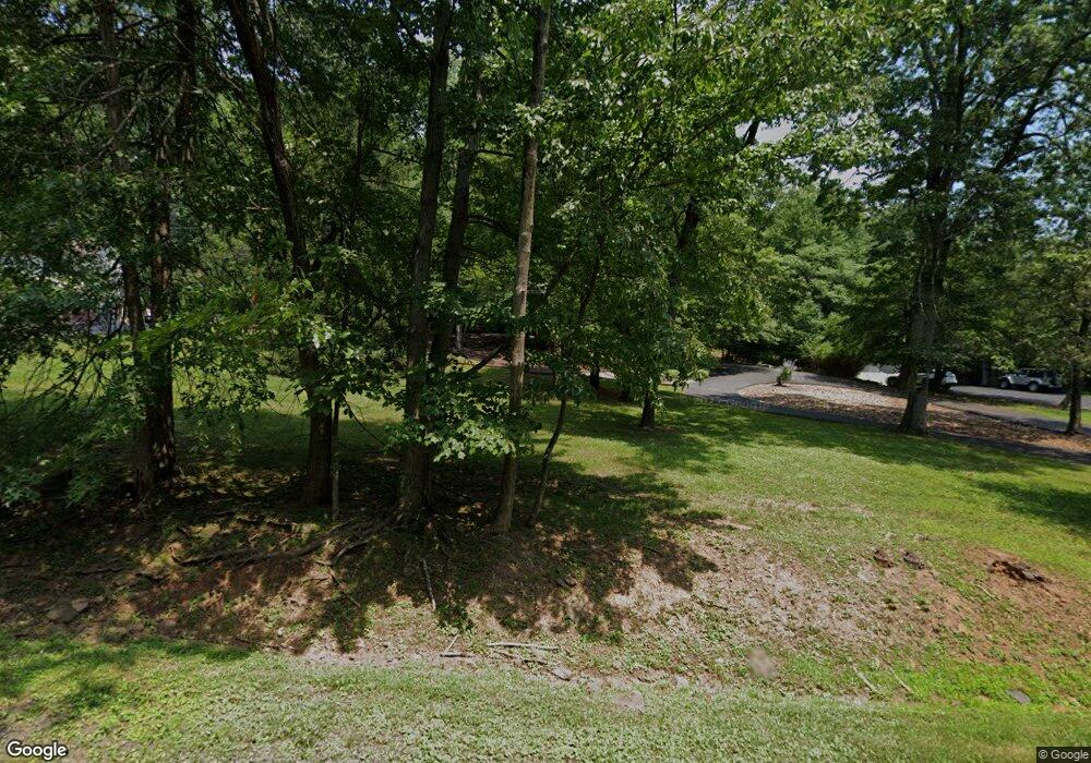
120 Branch Rd Bridgewater, NJ 08807
Green Knoll NeighborhoodEstimated Value: $779,000 - $877,000
--
Bed
--
Bath
2,313
Sq Ft
$352/Sq Ft
Est. Value
About This Home
This home is located at 120 Branch Rd, Bridgewater, NJ 08807 and is currently estimated at $813,732, approximately $351 per square foot. 120 Branch Rd is a home located in Somerset County with nearby schools including Crim Primary School, Bridgewater-Raritan Middle School, and Hillside Intermediate School.
Ownership History
Date
Name
Owned For
Owner Type
Purchase Details
Closed on
Feb 20, 2024
Sold by
Petrocelli John P and Petrocelli Jean
Bought by
Petrocelli Daniel and Petrocelli Vincenza
Current Estimated Value
Home Financials for this Owner
Home Financials are based on the most recent Mortgage that was taken out on this home.
Original Mortgage
$400,000
Outstanding Balance
$392,997
Interest Rate
6.66%
Mortgage Type
New Conventional
Estimated Equity
$420,735
Create a Home Valuation Report for This Property
The Home Valuation Report is an in-depth analysis detailing your home's value as well as a comparison with similar homes in the area
Home Values in the Area
Average Home Value in this Area
Purchase History
| Date | Buyer | Sale Price | Title Company |
|---|---|---|---|
| Petrocelli Daniel | $615,000 | Simplicity Title | |
| Petrocelli Daniel | $615,000 | Simplicity Title |
Source: Public Records
Mortgage History
| Date | Status | Borrower | Loan Amount |
|---|---|---|---|
| Open | Petrocelli Daniel | $400,000 | |
| Closed | Petrocelli Daniel | $400,000 |
Source: Public Records
Tax History Compared to Growth
Tax History
| Year | Tax Paid | Tax Assessment Tax Assessment Total Assessment is a certain percentage of the fair market value that is determined by local assessors to be the total taxable value of land and additions on the property. | Land | Improvement |
|---|---|---|---|---|
| 2025 | $13,327 | $698,400 | $313,600 | $384,800 |
| 2024 | $13,327 | $683,100 | $313,600 | $369,500 |
| 2023 | $12,087 | $608,900 | $313,600 | $295,300 |
| 2022 | $10,899 | $530,900 | $313,600 | $217,300 |
| 2021 | $10,488 | $518,500 | $313,600 | $204,900 |
| 2020 | $10,717 | $511,800 | $313,600 | $198,200 |
| 2019 | $10,738 | $507,700 | $313,600 | $194,100 |
| 2018 | $10,626 | $503,600 | $313,600 | $190,000 |
| 2017 | $10,119 | $479,100 | $313,600 | $165,500 |
| 2016 | $9,731 | $467,600 | $313,600 | $154,000 |
| 2015 | $9,418 | $464,800 | $313,600 | $151,200 |
| 2014 | $9,212 | $448,000 | $313,600 | $134,400 |
Source: Public Records
Map
Nearby Homes
- 114 Branch Rd
- 1600 Mountain Top Rd
- 1930 Mountain Top Rd
- 7 Meyers Way
- 1 Holmes Ct
- 499 Foothill Rd
- 7 Monmouth Ave
- 36 Somerset Ave
- 1825 Kennesaw Way
- 356 Greenfield Rd
- 11 Ash St
- 800 Star View Way
- 93 Highland Ave
- 61 Stella Dr
- 1266 Mount Vernon Rd
- 700 Half Foothill Rd
- 20 Copper Hill Rd
- 698 Foothill Rd
- 42 Stryker Ct
- 1 Wishnow Way
- 118 Branch Rd
- 122 Branch Rd
- 116 Branch Rd
- 126 Branch Rd
- 119 Branch Rd
- 121 Branch Rd
- 117 Branch Rd
- 123 Branch Rd
- 130 Branch Rd
- 115 Branch Rd
- 6 Caruso Ct
- 1620 Mountain Top Rd
- 116 Edgewood Dr
- 1632 Mountain Top Rd
- 120 Edgewood Dr
- 125 Branch Rd
- 112 Branch Rd
- 1626 Mountain Top Rd
- 114 Edgewood Dr
- 107 Branch Rd
