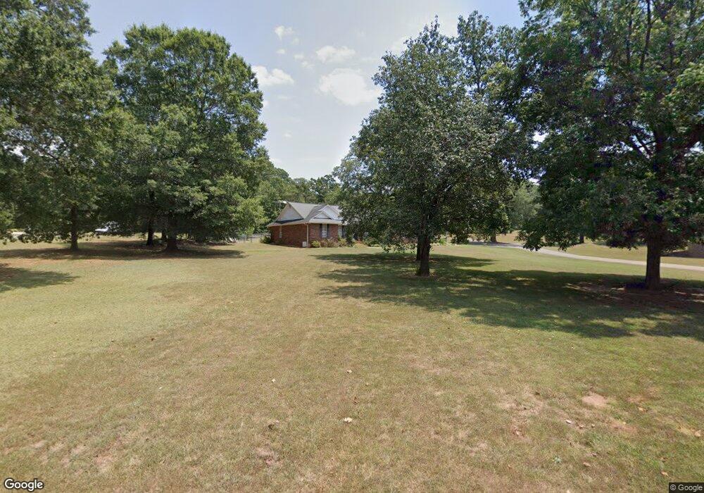
120 Briar Patch Rd Anderson, SC 29621
Estimated Value: $350,717 - $386,000
3
Beds
--
Bath
2,209
Sq Ft
$167/Sq Ft
Est. Value
About This Home
This home is located at 120 Briar Patch Rd, Anderson, SC 29621 and is currently estimated at $369,179, approximately $167 per square foot. 120 Briar Patch Rd is a home located in Anderson County with nearby schools including Concord Elementary School, McCants Middle School, and T.L. Hanna High School.
Ownership History
Date
Name
Owned For
Owner Type
Purchase Details
Closed on
Sep 16, 2024
Sold by
Charles Walton Wilson Sr Revocable Livin and Anel Betty Wilson Revocable Living Trust
Bought by
Wilson Kevin Anthony and Wilson Lee Ann
Current Estimated Value
Purchase Details
Closed on
May 27, 2008
Sold by
Wilson Charles W and Wilson Anel S
Bought by
Wilson Charles Walton and Wilson Anel Betty
Purchase Details
Closed on
Dec 20, 2005
Sold by
Turpin Gregory L and Turpin Sandra R
Bought by
Wilson Charles W and Wilson Anel S
Create a Home Valuation Report for This Property
The Home Valuation Report is an in-depth analysis detailing your home's value as well as a comparison with similar homes in the area
Home Values in the Area
Average Home Value in this Area
Purchase History
| Date | Buyer | Sale Price | Title Company |
|---|---|---|---|
| Wilson Kevin Anthony | -- | None Listed On Document | |
| Wilson Charles Walton | -- | -- | |
| Wilson Charles W | $183,900 | None Available |
Source: Public Records
Tax History
| Year | Tax Paid | Tax Assessment Tax Assessment Total Assessment is a certain percentage of the fair market value that is determined by local assessors to be the total taxable value of land and additions on the property. | Land | Improvement |
|---|---|---|---|---|
| 2025 | $6,788 | $13,950 | $1,800 | $12,150 |
| 2024 | $6,788 | $10,820 | $1,800 | $9,020 |
| 2023 | $1,193 | $10,820 | $1,800 | $9,020 |
| 2022 | $1,162 | $10,820 | $1,800 | $9,020 |
| 2021 | $1,036 | $8,460 | $1,100 | $7,360 |
| 2020 | $1,026 | $8,460 | $1,100 | $7,360 |
| 2019 | $1,026 | $8,460 | $1,100 | $7,360 |
| 2018 | $1,044 | $8,460 | $1,100 | $7,360 |
| 2017 | -- | $8,460 | $1,100 | $7,360 |
| 2016 | $934 | $8,550 | $1,080 | $7,470 |
| 2015 | $955 | $8,550 | $1,080 | $7,470 |
| 2014 | $950 | $8,550 | $1,080 | $7,470 |
Source: Public Records
Map
Nearby Homes
- 112 Rustic Ln
- Hobson E West Pkwy
- 102 Rustic Ln
- 1015 Whirlaway Cir
- 105 Hamilton Dr
- 114 Gallant Ln
- 121 Olde Towne Dr
- 214 Friend St
- 115 McPhail Farms Cir
- 137 Prescott Dr
- 134 Prescott Dr
- 112 Briar Creek Ln
- 1104 Thornehill Dr
- 106 Cherokee Cir
- 309 Kings Rd
- Lot 12 Thornehill Dr
- 101 Briar Creek Ln
- 405 Botany Ln
- 402 Botany Ln
- 145 Bradley Park
- 116 Briar Patch Rd
- 124 Briar Patch Rd
- 7 Oakridge Ct
- 115 Briar Patch Rd
- 104 Hobson Rd
- 5 Oakridge Ct
- 121 Briar Patch Rd
- 108 Hobson Rd
- 106 Hobson Rd
- 9 Oakridge Ct
- 136 Briar Patch Rd
- 202 Hobson Rd
- 8 Oakridge Ct
- 1 Oakridge Ct
- 4 Oakridge Ct
- 204 Hobson Rd
- 2 Peppertree
- 1 Peppertree
- 102 Hobson Rd
- 1421 Concord Rd
Your Personal Tour Guide
Ask me questions while you tour the home.