120 Brighams Cove Rd West Bath, ME 04530
Estimated Value: $668,000 - $906,482
4
Beds
2
Baths
2,780
Sq Ft
$293/Sq Ft
Est. Value
About This Home
This home is located at 120 Brighams Cove Rd, West Bath, ME 04530 and is currently estimated at $815,871, approximately $293 per square foot. 120 Brighams Cove Rd is a home located in Sagadahoc County with nearby schools including Morse High School.
Ownership History
Date
Name
Owned For
Owner Type
Purchase Details
Closed on
Oct 24, 2005
Sold by
Wold Lawrence E and Wold Judith S
Bought by
120 Brighams Cove Rd Llc
Current Estimated Value
Home Financials for this Owner
Home Financials are based on the most recent Mortgage that was taken out on this home.
Original Mortgage
$595,000
Outstanding Balance
$317,668
Interest Rate
5.72%
Mortgage Type
Purchase Money Mortgage
Estimated Equity
$498,203
Create a Home Valuation Report for This Property
The Home Valuation Report is an in-depth analysis detailing your home's value as well as a comparison with similar homes in the area
Home Values in the Area
Average Home Value in this Area
Purchase History
| Date | Buyer | Sale Price | Title Company |
|---|---|---|---|
| 120 Brighams Cove Rd Llc | -- | -- |
Source: Public Records
Mortgage History
| Date | Status | Borrower | Loan Amount |
|---|---|---|---|
| Open | 120 Brighams Cove Rd Llc | $595,000 |
Source: Public Records
Tax History Compared to Growth
Tax History
| Year | Tax Paid | Tax Assessment Tax Assessment Total Assessment is a certain percentage of the fair market value that is determined by local assessors to be the total taxable value of land and additions on the property. | Land | Improvement |
|---|---|---|---|---|
| 2024 | $6,216 | $758,100 | $501,000 | $257,100 |
| 2023 | $5,155 | $758,100 | $501,000 | $257,100 |
| 2022 | $5,407 | $505,300 | $329,800 | $175,500 |
| 2021 | $5,306 | $505,300 | $329,800 | $175,500 |
| 2020 | $5,306 | $505,300 | $329,800 | $175,500 |
| 2019 | $5,306 | $505,300 | $329,800 | $175,500 |
| 2018 | $5,609 | $505,300 | $329,800 | $175,500 |
| 2017 | $5,659 | $505,300 | $329,800 | $175,500 |
| 2016 | $5,154 | $505,300 | $329,800 | $175,500 |
| 2015 | $5,255 | $505,300 | $329,800 | $175,500 |
| 2014 | $5,154 | $505,300 | $329,800 | $175,500 |
| 2013 | $5,129 | $505,300 | $329,800 | $175,500 |
Source: Public Records
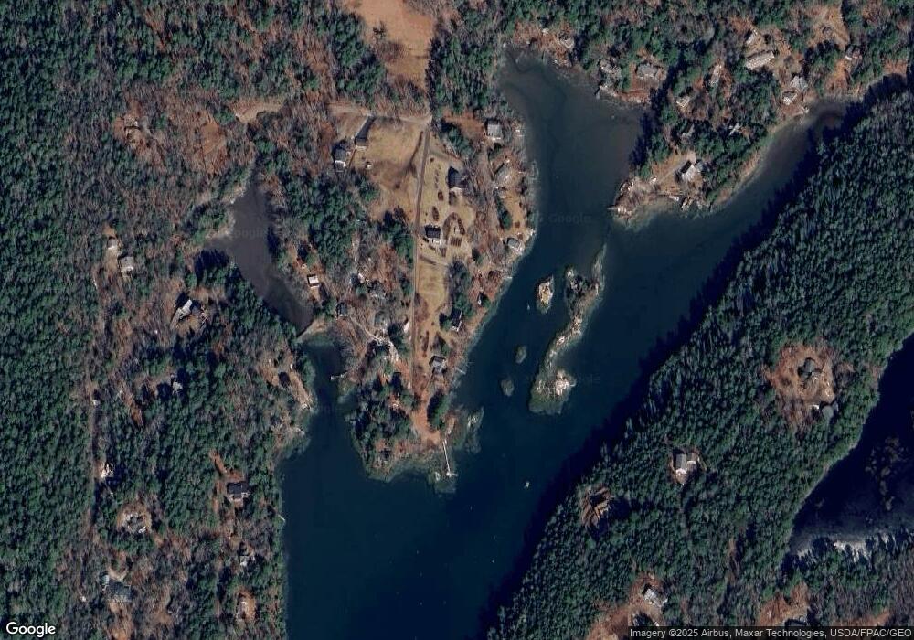
Map
Nearby Homes
- 434 Campbell Pond Rd
- 1-A Winnegance Ln
- 8 Holbrook Dr
- Lot 82-C Hartland Dr
- 25 Echo Ln
- 46 Dam Cove Rd
- 140 Clifford Rd
- 88 Campbell Pond Rd
- 550 Main Rd
- 93 Governors Point Rd
- 146 Oak Ledge Rd
- 04-06 Main Rd
- 0 Main Rd
- 197 Main Rd
- 15 Church Ln
- Lot #2 Rte 209 Main Rd
- 42 Indian Point Terrace
- 62 Hidden Pond Rd
- West Lot 3 Mountain Rd
- Lot# 40 Brickyard Cove Rd
- 24 Bruce Byway Dr
- 128 Brighams Cove Rd
- 22 Bruce Byway Dr
- 119 Brighams Cove Rd
- 116 Brighams Cove Rd
- 129 Brighams Cove Rd
- 18 Bruce's Byway
- 20 Bruce Byway
- 123 Brighams Cove Rd
- 133 Brighams Cove Rd
- 21 Pool Dr
- 18 Bruce Byway Dr
- 135 Brighams Cove Rd
- 14 Bruce Byway Dr
- 17 Pool Dr
- 32 Pool Dr
- 6 Shoal Cove Rd
- 0 Shoal Cove Rd Unit 865364
- 0 Shoal Cove Rd Unit 834919
- 0 Shoal Cove Rd Unit 783190