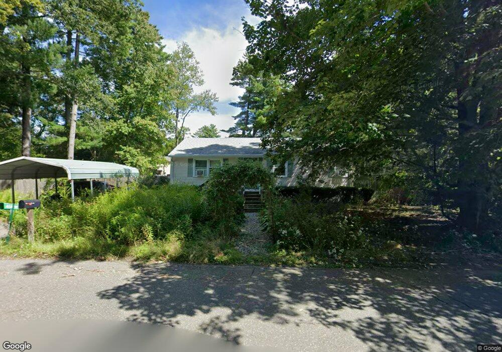
120 Brookside Cir Florence, MA 01062
Florence NeighborhoodEstimated Value: $323,925 - $355,000
About This Home
This home is located at 120 Brookside Cir, Florence, MA 01062 and is currently estimated at $334,981, approximately $348 per square foot. 120 Brookside Cir is a home located in Hampshire County with nearby schools including Northampton High School, Hilltown Cooperative Charter Public School, and The Montessori School of Northampton.
Ownership History
We collect this data history from publicly available records. To have your information removed, we recommend requesting removal directly through your county’s website.
Purchase Details
Home Values in the Area
Average Home Value in this Area
Purchase History
We collect this data history from publicly available records. To have your information removed, we recommend requesting removal directly through your county’s website.
| Date | Buyer | Sale Price | Title Company |
|---|---|---|---|
| $15,100 | -- |
Tax History
We collect this data history from publicly available records. To have your information removed, we recommend requesting removal directly through your county’s website.
| Year | Tax Paid | Tax Assessment Tax Assessment Total Assessment is a certain percentage of the fair market value that is determined by local assessors to be the total taxable value of land and additions on the property. | Land | Improvement |
|---|---|---|---|---|
| 2025 | $3,581 | $257,100 | $131,400 | $125,700 |
| 2024 | $3,872 | $254,900 | $125,200 | $129,700 |
| 2023 | $3,355 | $211,800 | $113,800 | $98,000 |
| 2022 | $3,499 | $195,600 | $106,500 | $89,100 |
| 2021 | $3,180 | $183,100 | $101,500 | $81,600 |
| 2020 | $3,076 | $183,100 | $101,500 | $81,600 |
| 2019 | $3,163 | $182,100 | $86,500 | $95,600 |
| 2018 | $3,192 | $187,300 | $86,500 | $100,800 |
| 2017 | $3,126 | $187,300 | $86,500 | $100,800 |
| 2016 | $2,909 | $180,000 | $86,500 | $93,500 |
| 2015 | $2,909 | $184,100 | $86,500 | $97,600 |
| 2014 | $2,833 | $184,100 | $86,500 | $97,600 |
Map
- 723 Lot B Ryan Rd
- 15 Gilrain Terrace
- 68 Gilrain Terrace
- 792 Ryan Rd
- 908 Burts Pit Rd
- 142 Spruce Hill Ave
- 31 Golden Dr
- 866 Burts Pit Rd
- 1292 Burts Pit Rd
- 788 Burts Pit Rd
- 48 Hickory Dr
- 30 Birch Hill Rd
- 39 Stone Ridge Dr
- 17 Stone Ridge Dr
- 46 Sovereign Way
- 36 Sovereign Way
- 36 Brookwood Dr
- 669 Westhampton Rd
- 195 Westhampton Rd
- 1467 Westhampton Rd
- 115 Brookside Cir
- 431 Acrebrook Dr
- 123 Brookside Cir
- 112 Brookside Cir
- 430 Acrebrook Dr
- 438 Acrebrook Dr
- 423 Acrebrook Dr
- 128 Brookside Cir
- 422 Acrebrook Dr
- 325 Acrebrook Dr
- 37 Pencasel Dr
- 27 Pencasal Dr
- 415 Acrebrook Dr
- 574 Ryan Rd
- 45 Pencasel Dr
- 27 Pencasel Dr
- 315 Acrebrook Dr
- 315 Acrebrook Dr Unit 1
- 4 Pencasel Dr
- 333 Acrebrook Dr
Ask me questions while you tour the home.