Estimated Value: $81,000 - $132,000
3
Beds
1
Bath
1,000
Sq Ft
$104/Sq Ft
Est. Value
About This Home
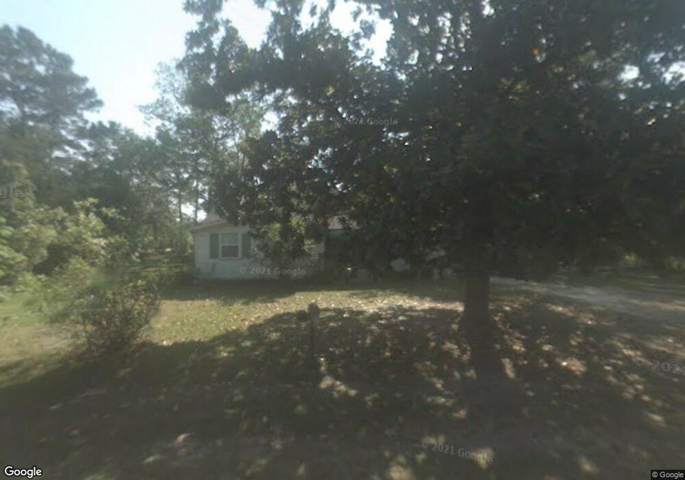
This home is located at 120 Carter St, Jesup, GA 31545 and is currently estimated at $104,319, approximately $104 per square foot. 120 Carter St is a home located in Wayne County with nearby schools including Martha Rawls Smith Elementary School, Arthur Williams Middle School, and Wayne County High School.
Ownership History
Date
Name
Owned For
Owner Type
Purchase Details
Closed on
Mar 19, 2021
Sold by
Denison Jonathan B
Bought by
Denison Johathan Brian
Current Estimated Value
Home Financials for this Owner
Home Financials are based on the most recent Mortgage that was taken out on this home.
Original Mortgage
$77,330
Outstanding Balance
$69,438
Interest Rate
2.8%
Mortgage Type
FHA
Estimated Equity
$34,881
Purchase Details
Closed on
Jun 21, 2018
Sold by
Studstill Richard M
Bought by
Denison Jonathan B
Home Financials for this Owner
Home Financials are based on the most recent Mortgage that was taken out on this home.
Original Mortgage
$10,000,000
Interest Rate
4.6%
Mortgage Type
New Conventional
Purchase Details
Closed on
Sep 1, 2009
Sold by
Carter Grover D
Bought by
Studstill Richard M and Studstill Vickie C
Create a Home Valuation Report for This Property
The Home Valuation Report is an in-depth analysis detailing your home's value as well as a comparison with similar homes in the area
Home Values in the Area
Average Home Value in this Area
Purchase History
| Date | Buyer | Sale Price | Title Company |
|---|---|---|---|
| Denison Johathan Brian | $80,000 | -- | |
| Denison Jonathan B | $44,000 | -- | |
| Studstill Richard M | $28,500 | -- |
Source: Public Records
Mortgage History
| Date | Status | Borrower | Loan Amount |
|---|---|---|---|
| Open | Denison Johathan Brian | $77,330 | |
| Previous Owner | Denison Jonathan B | $10,000,000 |
Source: Public Records
Tax History Compared to Growth
Tax History
| Year | Tax Paid | Tax Assessment Tax Assessment Total Assessment is a certain percentage of the fair market value that is determined by local assessors to be the total taxable value of land and additions on the property. | Land | Improvement |
|---|---|---|---|---|
| 2024 | $565 | $26,319 | $1,720 | $24,599 |
| 2023 | $664 | $22,145 | $600 | $21,545 |
| 2022 | $563 | $17,870 | $600 | $17,270 |
| 2021 | $201 | $10,963 | $600 | $10,363 |
| 2020 | $208 | $10,963 | $600 | $10,363 |
| 2019 | $214 | $10,963 | $600 | $10,363 |
| 2018 | $394 | $10,963 | $600 | $10,363 |
| 2017 | $184 | $10,963 | $600 | $10,363 |
| 2016 | $178 | $10,963 | $600 | $10,363 |
| 2014 | $179 | $10,963 | $600 | $10,363 |
| 2013 | -- | $10,962 | $600 | $10,362 |
Source: Public Records
Map
Nearby Homes
- 120 Womack Rd Unit 1.4 ACRES
- 308 Cowboy Rd
- 71 Cruz Rd
- 15 Paris Dr
- 440 Oak Island Estates Rd
- 177 Bunion Rd
- na Georgia 169
- 1 Spring Grove Rd
- 695 Lanes Bridge Rd
- 368 Whispering Pines Rd
- 1276 Spring Grove Rd
- 10235 Lanes Bridge Rd
- 000 Hamburg St
- 75 Woodlawn Dr
- 196 Pine Ridge Rd
- 705 S 11th St
- 155 Persimmon St
- 2 Common Way
- 1275 Rayonier Rd
- 0000 N Fourth St
- 200 Carter St
- 169 Carter St
- 80 Carter St
- 1294 Lanes Bridge Rd
- 221 Carter St
- 35 Carter St
- 100 Raintree Dr
- 180 Raintree Dr
- 24 Carter St
- 240 Carter St
- 1220 Lanes Bridge Rd
- 269 Carter St
- 239 Carter St
- 1311 Lanes Bridge Rd
- 421 Spring Grove Rd
- 411 Spring Grove Rd
- 1170 Lanes Bridge Rd
- 395 Spring Grove Rd
- 1251 Lanes Bridge Rd
- 1343 Lanes Bridge Rd