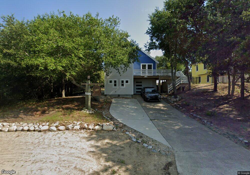
120 Christopher Dr Unit 47 Kitty Hawk, NC 27949
Estimated Value: $779,000 - $917,000
3
Beds
2
Baths
2,054
Sq Ft
$422/Sq Ft
Est. Value
About This Home
This home is located at 120 Christopher Dr Unit 47, Kitty Hawk, NC 27949 and is currently estimated at $865,870, approximately $421 per square foot. 120 Christopher Dr Unit 47 is a home located in Dare County with nearby schools including Kitty Hawk Elementary School, First Flight Middle School, and First Flight High School.
Ownership History
Date
Name
Owned For
Owner Type
Purchase Details
Closed on
Jun 28, 2016
Sold by
Wurster Mark D and Wurster Karen S
Bought by
Dickson Craig S and Dickson Kimberly A
Current Estimated Value
Home Financials for this Owner
Home Financials are based on the most recent Mortgage that was taken out on this home.
Original Mortgage
$310,250
Interest Rate
3.66%
Mortgage Type
New Conventional
Purchase Details
Closed on
May 18, 2010
Sold by
Wurster Mark D and Wurster Karen S
Bought by
Wurster Mark D and Wurster Karen S
Create a Home Valuation Report for This Property
The Home Valuation Report is an in-depth analysis detailing your home's value as well as a comparison with similar homes in the area
Home Values in the Area
Average Home Value in this Area
Purchase History
| Date | Buyer | Sale Price | Title Company |
|---|---|---|---|
| Dickson Craig S | $365,000 | None Available | |
| Wurster Mark D | -- | None Available |
Source: Public Records
Mortgage History
| Date | Status | Borrower | Loan Amount |
|---|---|---|---|
| Closed | Dickson Craig S | $250,000 | |
| Closed | Dickson Craig S | $150,000 | |
| Closed | Dickson Craig S | $310,000 | |
| Closed | Dickson Kimberly A | $310,000 | |
| Closed | Dickson Craig S | $341,000 | |
| Closed | Dickson Craig S | $310,250 | |
| Previous Owner | Wurster Karen S | $50,000 | |
| Previous Owner | Wurster Mark D | $100,000 | |
| Previous Owner | Wurster Mark D | $369,000 |
Source: Public Records
Tax History
| Year | Tax Paid | Tax Assessment Tax Assessment Total Assessment is a certain percentage of the fair market value that is determined by local assessors to be the total taxable value of land and additions on the property. | Land | Improvement |
|---|---|---|---|---|
| 2025 | $3,797 | $874,300 | $440,000 | $434,300 |
| 2024 | $3,889 | $597,900 | $245,000 | $352,900 |
| 2023 | $3,380 | $544,800 | $245,000 | $299,800 |
| 2022 | $2,889 | $465,600 | $245,000 | $220,600 |
| 2021 | $2,633 | $424,300 | $245,000 | $179,300 |
| 2020 | $2,575 | $431,472 | $245,000 | $186,472 |
| 2019 | $2,451 | $346,700 | $226,800 | $119,900 |
| 2018 | $2,441 | $344,800 | $226,800 | $118,000 |
| 2017 | $2,248 | $325,700 | $226,800 | $98,900 |
| 2016 | $2,116 | $325,700 | $226,800 | $98,900 |
| 2014 | $2,116 | $325,700 | $226,800 | $98,900 |
Source: Public Records
Map
Nearby Homes
- 103 Duck Landing Ln Unit Lot 49
- 102 Winauk Ct Unit 71
- 134 Scarborough Ln Unit 50
- 134 Four Seasons Ln Unit 81
- 109 Duck Ridge Village Ct Unit 14
- 102 Plover Dr Unit Lot 8
- 105 Plover Dr Unit Lot 3
- 102 Settlers Ln Unit Lot 7R
- 101 Georgetown Sands Rd Unit 47
- 123 Georgetown Sands Rd Unit 24
- 123 Georgetown Sands Rd Unit 19
- 119 Osprey Ridge Rd Unit Lot 11
- 134 Plover Dr Unit lot A-3D
- 123 Georgetown Rd Unit 19
- 102 Sea Hawk Dr E Unit Lot 19
- 125 Seabreeze Dr
- 125 Seabreeze Dr Unit Lot 10
- 120 Tuckahoe Dr W Unit 75
- 117 Sea Colony Dr Unit B-211
- 117 Sea Colony Dr Unit A-201
- 120 Christopher Dr
- 122 Christopher Dr Unit 46
- 122 Christopher Dr
- 116 Christopher Dr
- 117 Algonquain Ct
- 124 Christopher Dr
- 129 Dunes Crescent
- 129 Dune Rd
- 119 Algonquain Ct
- 115 Dunes Crest Unit 25
- 115 Algonkian Ct
- 114 Christopher Dr
- 126 Christopher Dr
- 121 Algonquain Ct
- 111 Uppowoc Ct Unit 7
- 111 Uppowoc Ct
- 131 Betsy Ct
- 109 Uppowoc Ct
- 113 Uppowoc Ct
- 112 Christopher Dr
Your Personal Tour Guide
Ask me questions while you tour the home.