120 Croston Rd Vincent, OH 45784
Estimated Value: $224,000 - $314,000
3
Beds
2
Baths
1,953
Sq Ft
$143/Sq Ft
Est. Value
About This Home
This home is located at 120 Croston Rd, Vincent, OH 45784 and is currently estimated at $279,304, approximately $143 per square foot. 120 Croston Rd is a home with nearby schools including Warren High School.
Ownership History
Date
Name
Owned For
Owner Type
Purchase Details
Closed on
Apr 5, 2018
Sold by
Dolak Steve and Dolak Maryanne
Bought by
Ours William A and Connolly Angela J
Current Estimated Value
Home Financials for this Owner
Home Financials are based on the most recent Mortgage that was taken out on this home.
Original Mortgage
$145,319
Outstanding Balance
$124,972
Interest Rate
4.44%
Mortgage Type
FHA
Estimated Equity
$154,332
Create a Home Valuation Report for This Property
The Home Valuation Report is an in-depth analysis detailing your home's value as well as a comparison with similar homes in the area
Home Values in the Area
Average Home Value in this Area
Purchase History
| Date | Buyer | Sale Price | Title Company |
|---|---|---|---|
| Ours William A | $25,000 | None Available |
Source: Public Records
Mortgage History
| Date | Status | Borrower | Loan Amount |
|---|---|---|---|
| Open | Ours William A | $145,319 |
Source: Public Records
Tax History Compared to Growth
Tax History
| Year | Tax Paid | Tax Assessment Tax Assessment Total Assessment is a certain percentage of the fair market value that is determined by local assessors to be the total taxable value of land and additions on the property. | Land | Improvement |
|---|---|---|---|---|
| 2024 | $1,913 | $49,350 | $8,180 | $41,170 |
| 2023 | $1,913 | $49,350 | $8,180 | $41,170 |
| 2022 | $1,889 | $49,350 | $8,180 | $41,170 |
| 2021 | $1,594 | $39,720 | $6,740 | $32,980 |
| 2020 | $1,592 | $39,720 | $6,740 | $32,980 |
| 2019 | $385 | $9,680 | $6,740 | $2,940 |
| 2018 | $107 | $2,580 | $820 | $1,760 |
| 2017 | $299 | $7,260 | $5,390 | $1,870 |
| 2016 | $370 | $7,260 | $5,390 | $1,870 |
| 2015 | $198 | $5,330 | $5,190 | $140 |
| 2014 | -- | $5,330 | $5,190 | $140 |
| 2013 | $52 | $5,330 | $5,190 | $140 |
Source: Public Records
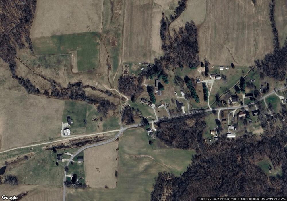
Map
Nearby Homes
- 0 Layman Rd Unit 5162075
- 0 Layman Rd Unit 5162072
- 6570 State Route 339
- 545 Lewis Pointe Dr
- 735 Timberline Dr
- 135 Knob Dr
- 10270 Ohio 550
- 120 Fleming Dr
- 265 James Ln
- 250 Northlake Dr
- 0 Ohio 550
- 0 Brackenridge Rd Unit 23885979
- 0 Brackenridge Rd Unit 23885976
- 28 Mcgill Rd
- 1556 Mcgill Rd
- 2207 Veto Rd
- 10507 Ohio 339
- 8045 Veto Rd
- 1998 Reese Rd
- 21 Cherry Hills Dr
- 155 Croston Rd
- 484 Barrett South Rd
- 428 Barrett South Rd
- 493 Barrett South Rd
- 376 Barrett South Rd
- 546 Barrett South Rd
- 374 Barrett South Rd
- 359 Barrett South Rd Unit TWP
- 359 Barrett South Rd
- 343 Barrett South Rd
- 338 Barrett-South Rd
- 338 Barrett South Rd
- 323 Barrett South Rd
- 306 Barrett South Rd
- 317 Barrett South Rd
- 670 Barrett South Rd
- 285 Barrett South Rd
- 705 Barrett South Rd
- 261 Barrett South Rd
- 239 Barrett South Rd