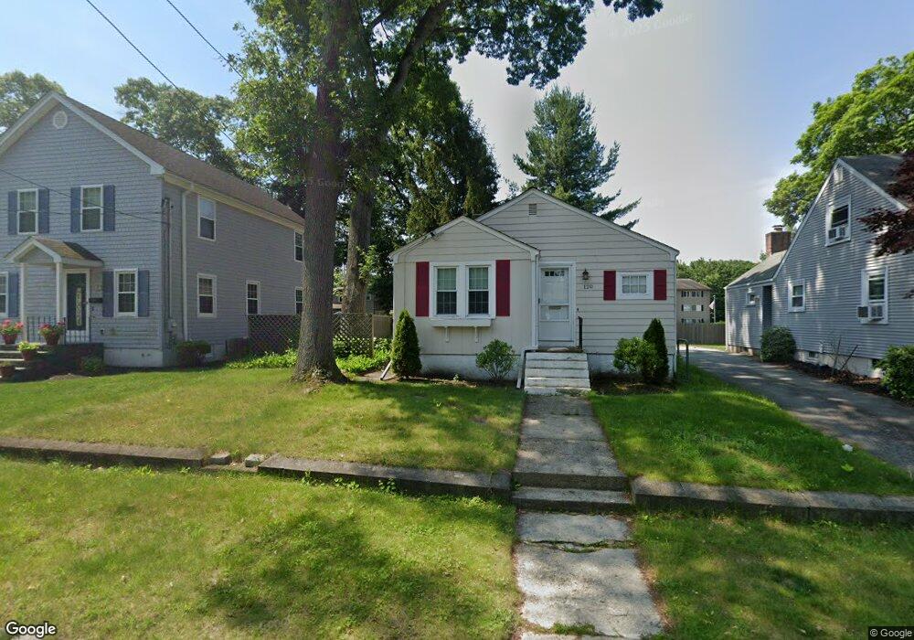
120 Davis Ave Cranston, RI 02910
Eden Park NeighborhoodEstimated Value: $344,000 - $374,000
2
Beds
1
Bath
975
Sq Ft
$367/Sq Ft
Est. Value
About This Home
This home is located at 120 Davis Ave, Cranston, RI 02910 and is currently estimated at $357,861, approximately $367 per square foot. 120 Davis Ave is a home located in Providence County with nearby schools including Park View Middle School, Cranston High School East, and Cadence Academy Preschool - Cranston.
Ownership History
Date
Name
Owned For
Owner Type
Purchase Details
Closed on
Dec 6, 2004
Sold by
Marciaro Lori
Bought by
Santos Katherin
Current Estimated Value
Home Financials for this Owner
Home Financials are based on the most recent Mortgage that was taken out on this home.
Original Mortgage
$172,788
Outstanding Balance
$85,114
Interest Rate
5.69%
Mortgage Type
Purchase Money Mortgage
Estimated Equity
$272,747
Purchase Details
Closed on
Nov 4, 2002
Sold by
Bernstein Meryl
Bought by
Marciaro Lori
Home Financials for this Owner
Home Financials are based on the most recent Mortgage that was taken out on this home.
Original Mortgage
$125,200
Interest Rate
6.09%
Purchase Details
Closed on
Aug 5, 1994
Sold by
Bernstein Meryl and Rose Lynn Faith
Bought by
Bernstein Meryl
Create a Home Valuation Report for This Property
The Home Valuation Report is an in-depth analysis detailing your home's value as well as a comparison with similar homes in the area
Home Values in the Area
Average Home Value in this Area
Purchase History
| Date | Buyer | Sale Price | Title Company |
|---|---|---|---|
| Santos Katherin | $176,000 | -- | |
| Marciaro Lori | $132,000 | -- | |
| Bernstein Meryl | $54,500 | -- |
Source: Public Records
Mortgage History
| Date | Status | Borrower | Loan Amount |
|---|---|---|---|
| Open | Bernstein Meryl | $172,788 | |
| Previous Owner | Bernstein Meryl | $125,200 |
Source: Public Records
Tax History
| Year | Tax Paid | Tax Assessment Tax Assessment Total Assessment is a certain percentage of the fair market value that is determined by local assessors to be the total taxable value of land and additions on the property. | Land | Improvement |
|---|---|---|---|---|
| 2025 | $3,780 | $272,300 | $105,900 | $166,400 |
| 2024 | $3,706 | $272,300 | $105,900 | $166,400 |
| 2023 | $3,619 | $191,500 | $69,700 | $121,800 |
| 2022 | $3,545 | $191,500 | $69,700 | $121,800 |
| 2021 | $3,447 | $191,500 | $69,700 | $121,800 |
| 2020 | $3,419 | $164,600 | $66,400 | $98,200 |
| 2019 | $3,419 | $164,600 | $66,400 | $98,200 |
| 2018 | $3,340 | $164,600 | $66,400 | $98,200 |
| 2017 | $3,278 | $142,900 | $59,800 | $83,100 |
| 2016 | $3,208 | $142,900 | $59,800 | $83,100 |
Source: Public Records
Map
Nearby Homes
- 114 Davis Ave
- 126 Davis Ave
- 110 Davis Ave
- 117 Fordson Ave
- 121 Fordson Ave
- 106 Davis Ave
- 115 Davis Ave
- 119 Davis Ave
- 239 Summer St
- 132 Davis Ave
- 125 Davis Ave
- 100 Davis Ave
- 105 Fordson Ave
- 94 Davis Ave
- 133 Fordson Ave Unit 6
- 133 Fordson Ave Unit 37
- 133 Fordson Ave Unit 39
- 133 Fordson Ave Unit 38
- 133 Fordson Ave Unit 48
- 133 Fordson Ave Unit 47
Your Personal Tour Guide
Ask me questions while you tour the home.