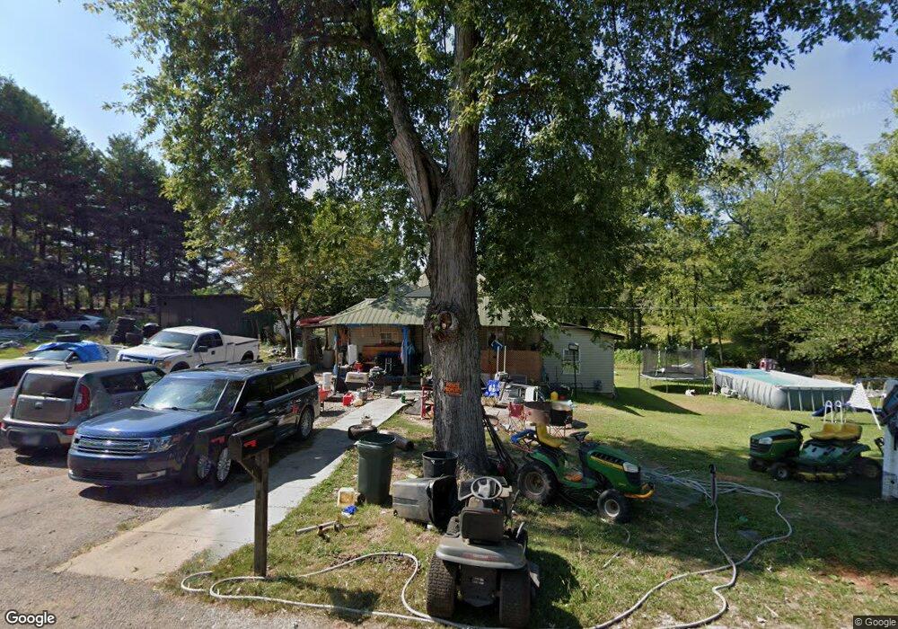
120 Depot Rd Rock Island, TN 38581
Estimated Value: $123,399 - $203,000
--
Bed
1
Bath
1,236
Sq Ft
$132/Sq Ft
Est. Value
About This Home
This home is located at 120 Depot Rd, Rock Island, TN 38581 and is currently estimated at $163,600, approximately $132 per square foot. 120 Depot Rd is a home located in Warren County with nearby schools including Eastside Elementary School and Warren County High School.
Ownership History
Date
Name
Owned For
Owner Type
Purchase Details
Closed on
Jun 10, 1999
Sold by
Dishman and Christy
Bought by
Woolsey Donna L
Current Estimated Value
Purchase Details
Closed on
Apr 20, 1999
Sold by
Garden Juanita Sue
Bought by
Dishman and Christy
Purchase Details
Closed on
Feb 24, 1997
Sold by
Jimmy Mccormick
Bought by
Garden Juanita S
Purchase Details
Closed on
Dec 22, 1989
Bought by
Mccormick Jimmy and Mccormick Debbie
Purchase Details
Closed on
Nov 10, 1980
Bought by
Davis James M and Davis Helen
Create a Home Valuation Report for This Property
The Home Valuation Report is an in-depth analysis detailing your home's value as well as a comparison with similar homes in the area
Home Values in the Area
Average Home Value in this Area
Purchase History
| Date | Buyer | Sale Price | Title Company |
|---|---|---|---|
| Woolsey Donna L | $16,000 | -- | |
| Dishman | $15,000 | -- | |
| Garden Juanita S | $23,000 | -- | |
| Mccormick Jimmy | $14,000 | -- | |
| Davis James M | -- | -- |
Source: Public Records
Tax History Compared to Growth
Tax History
| Year | Tax Paid | Tax Assessment Tax Assessment Total Assessment is a certain percentage of the fair market value that is determined by local assessors to be the total taxable value of land and additions on the property. | Land | Improvement |
|---|---|---|---|---|
| 2025 | $303 | $29,550 | $0 | $0 |
| 2024 | $303 | $15,375 | $2,650 | $12,725 |
| 2023 | $303 | $15,375 | $2,650 | $12,725 |
| 2022 | $303 | $15,375 | $2,650 | $12,725 |
| 2021 | $303 | $15,375 | $2,650 | $12,725 |
| 2020 | $231 | $15,375 | $2,650 | $12,725 |
| 2019 | $264 | $11,750 | $2,225 | $9,525 |
| 2018 | $231 | $11,750 | $2,225 | $9,525 |
| 2017 | $231 | $11,750 | $2,225 | $9,525 |
| 2016 | $231 | $11,750 | $2,225 | $9,525 |
| 2015 | $234 | $11,725 | $2,225 | $9,500 |
| 2014 | $221 | $11,725 | $2,225 | $9,500 |
| 2013 | $221 | $11,063 | $0 | $0 |
Source: Public Records
Map
Nearby Homes
- 239 Pine Bluff Rd
- 98 Lakeside Dr
- 1.50 AC Rock Island Shores Dr
- 0 Goodbar Rd Unit RTC2866377
- 0 Goodbar Rd Unit RTC2990114
- 0 Goodbar Rd Unit RTC2866387
- 0 Goodbar Rd Unit RTC2866833
- 0 Goodbar Rd Unit RTC2990108
- 0 Goodbar Rd Unit RTC2990119
- 676 George Rd
- 0 Rock Station Rd
- 622 Bone Cave Rd
- 0 Bone Cave Rd Unit RTC3048650
- 0 Bone Cave Rd Unit 1518019
- 1149 Camp Overton Rd
- 371 Rock Station Rd
- 2365 Pine Bluff Rd
- 3426 Old Rock Island Rd
- 115 Long Point Dr
- 3 Pine Bluff Rd