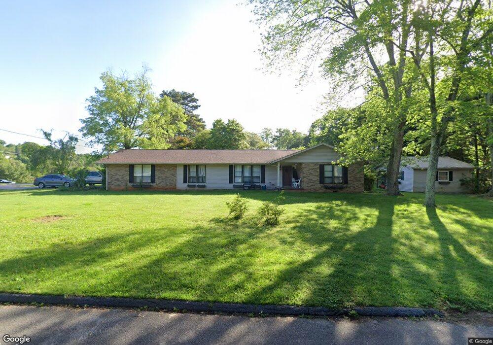
120 Dexter Dr Harriman, TN 37748
Estimated Value: $259,512 - $355,000
--
Bed
2
Baths
1,747
Sq Ft
$176/Sq Ft
Est. Value
About This Home
This home is located at 120 Dexter Dr, Harriman, TN 37748 and is currently estimated at $306,628, approximately $175 per square foot. 120 Dexter Dr is a home located in Roane County with nearby schools including Midtown Elementary School, Kingston Elementary School, and Midway Elementary School.
Ownership History
Date
Name
Owned For
Owner Type
Purchase Details
Closed on
Aug 25, 2006
Sold by
Dexter Dessie B and Lee Andy
Bought by
Carpenter Allen T
Current Estimated Value
Home Financials for this Owner
Home Financials are based on the most recent Mortgage that was taken out on this home.
Original Mortgage
$135,000
Outstanding Balance
$11,775
Interest Rate
6.63%
Estimated Equity
$294,853
Purchase Details
Closed on
Jul 1, 1987
Bought by
Dexter Andy Lee and Dexter Minnie L
Purchase Details
Closed on
Feb 27, 1984
Bought by
Cooper Kendall R and Cooper Sheil
Create a Home Valuation Report for This Property
The Home Valuation Report is an in-depth analysis detailing your home's value as well as a comparison with similar homes in the area
Home Values in the Area
Average Home Value in this Area
Purchase History
| Date | Buyer | Sale Price | Title Company |
|---|---|---|---|
| Carpenter Allen T | $150,000 | -- | |
| Dexter Andy Lee | $74,000 | -- | |
| Cooper Kendall R | -- | -- |
Source: Public Records
Mortgage History
| Date | Status | Borrower | Loan Amount |
|---|---|---|---|
| Open | Cooper Kendall R | $135,000 |
Source: Public Records
Tax History Compared to Growth
Tax History
| Year | Tax Paid | Tax Assessment Tax Assessment Total Assessment is a certain percentage of the fair market value that is determined by local assessors to be the total taxable value of land and additions on the property. | Land | Improvement |
|---|---|---|---|---|
| 2024 | $908 | $37,850 | $5,000 | $32,850 |
| 2023 | $908 | $37,850 | $5,000 | $32,850 |
| 2022 | $908 | $37,850 | $5,000 | $32,850 |
| 2021 | $935 | $37,850 | $5,000 | $32,850 |
| 2020 | $935 | $37,850 | $5,000 | $32,850 |
| 2019 | $1,056 | $39,325 | $6,250 | $33,075 |
| 2018 | $1,013 | $39,325 | $6,250 | $33,075 |
| 2017 | $1,013 | $39,325 | $6,250 | $33,075 |
| 2016 | $1,013 | $39,325 | $6,250 | $33,075 |
| 2015 | $1,013 | $39,325 | $6,250 | $33,075 |
| 2013 | -- | $38,650 | $6,500 | $32,150 |
Source: Public Records
Map
Nearby Homes
- 213 Westshore Dr
- 1700 Bluff Rd
- 212 Reba Ave
- 517 Bowman Bend Rd
- 219 Reba Ave
- 165 Rebel Rd
- 120 Hilltop Rd
- 312 Lakeview Rd
- 140 Charles Place
- 112 Charles Place
- 103 Nelson Place
- 136 White Oak Dr
- 160 Casey Rd
- 233 Duncan Hollow Rd
- 233 Old Highway 70
- 120 Brahman Rd
- 209 Ponderosa Dr
- 0 Decatur Hwy
- 2301 Roane State Hwy
- 120 Keylon Dr
- 211 Bluff Pointe Rd
- 303 Bluff Pointe Rd
- 214 Bluff Pointe Rd
- 220 Bluff Pointe Rd
- 110 Dexter Dr
- 207 Bluff Pointe Rd
- 304 Westshore Dr
- 212 Bluff Pointe Rd
- 232 Westshore Dr
- 304 Bluff Pointe Rd
- 309 Bluff Pointe Rd
- 247 Westshore Dr
- 247 Westshore Dr
- 101 Scenic Lake Dr
- 117 Scenic Lake Dr
- 228 Westshore Dr
- 310 Bluff Pointe Rd
- 243 Westshore Dr
- 115 Scenic Lake Dr
- 303 Westshore Dr