120 Doe Ln Kennett Square, PA 19348
Estimated Value: $814,000 - $1,052,000
3
Beds
3
Baths
2,882
Sq Ft
$320/Sq Ft
Est. Value
About This Home
This home is located at 120 Doe Ln, Kennett Square, PA 19348 and is currently estimated at $922,501, approximately $320 per square foot. 120 Doe Ln is a home located in Chester County with nearby schools including Kennett Middle School, Kennett High School, and St. Patrick School.
Ownership History
Date
Name
Owned For
Owner Type
Purchase Details
Closed on
Aug 4, 2021
Sold by
William Turner Iv and William W
Bought by
Turner Katherine and Turner Katherine
Current Estimated Value
Home Financials for this Owner
Home Financials are based on the most recent Mortgage that was taken out on this home.
Original Mortgage
$547,850
Interest Rate
2.9%
Mortgage Type
New Conventional
Purchase Details
Closed on
May 17, 2005
Sold by
Serge Peter L and Coan Marie C
Bought by
Turner William and Turner Katherine
Home Financials for this Owner
Home Financials are based on the most recent Mortgage that was taken out on this home.
Original Mortgage
$365,750
Interest Rate
5.12%
Mortgage Type
Fannie Mae Freddie Mac
Purchase Details
Closed on
May 18, 1994
Sold by
Serge Peter L and Serge Anna R
Bought by
Serge Peter L
Home Financials for this Owner
Home Financials are based on the most recent Mortgage that was taken out on this home.
Original Mortgage
$50,000
Interest Rate
8.44%
Create a Home Valuation Report for This Property
The Home Valuation Report is an in-depth analysis detailing your home's value as well as a comparison with similar homes in the area
Home Values in the Area
Average Home Value in this Area
Purchase History
| Date | Buyer | Sale Price | Title Company |
|---|---|---|---|
| Turner Katherine | -- | None Listed On Document | |
| Turner William | $522,500 | -- | |
| Serge Peter L | -- | -- |
Source: Public Records
Mortgage History
| Date | Status | Borrower | Loan Amount |
|---|---|---|---|
| Previous Owner | Turner Katherine | $547,850 | |
| Previous Owner | Turner William | $365,750 | |
| Previous Owner | Serge Peter L | $50,000 |
Source: Public Records
Tax History Compared to Growth
Tax History
| Year | Tax Paid | Tax Assessment Tax Assessment Total Assessment is a certain percentage of the fair market value that is determined by local assessors to be the total taxable value of land and additions on the property. | Land | Improvement |
|---|---|---|---|---|
| 2025 | $11,462 | $281,070 | $96,050 | $185,020 |
| 2024 | $11,462 | $281,070 | $96,050 | $185,020 |
| 2023 | $10,925 | $273,220 | $96,050 | $177,170 |
| 2022 | $10,634 | $273,220 | $96,050 | $177,170 |
| 2021 | $10,474 | $273,220 | $96,050 | $177,170 |
| 2020 | $10,278 | $273,220 | $96,050 | $177,170 |
| 2019 | $10,141 | $273,220 | $96,050 | $177,170 |
| 2018 | $9,931 | $273,220 | $96,050 | $177,170 |
| 2017 | $9,238 | $273,220 | $96,050 | $177,170 |
| 2016 | $1,083 | $273,220 | $96,050 | $177,170 |
| 2015 | $1,083 | $273,220 | $96,050 | $177,170 |
| 2014 | $1,083 | $273,220 | $96,050 | $177,170 |
Source: Public Records
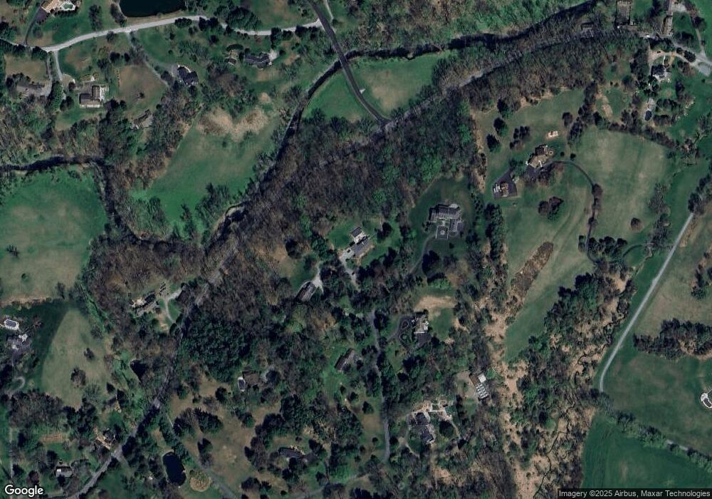
Map
Nearby Homes
- 25 Southridge Dr
- 823 Creek Rd
- 102 Knoxlyn Farm Dr
- 747 Morris Rd
- 535 Chandler Mill Rd
- 118 Pleasant Bank Ln
- 757 Auburn Mill Rd
- 606 Parkridge Dr
- 2913 Creek Rd
- 408 Willowbend Ct
- 683 Mc Govern Rd
- 1215 Benjamin Dr
- 1219 Benjamin Dr
- 1075 Yorklyn Rd
- 1025 James Walter Way
- 187 E Hillendale Rd
- 646 Woodview Dr
- 526 Dawson Track
- 115 Chandler Mill Rd
- 1131 Valley Rd
- 113 Doe Ln
- 108 Doe Ln
- 106 Doe Ln
- 109 Doe Ln
- 111 Doe Ln
- 104 Doe Ln
- 301 Marshall Vale Ln
- 123 Marshall Bridge Rd
- 105 Doe Ln
- 2 Penn Oak Ln
- 18 Southridge Dr
- 4 Penn Oak Ln
- 6 Penn Oak Ln
- 20 Southridge Dr
- 203 Buck Toe Hills Rd
- 16 Southridge Dr
- 207 Buck Toe Hills Rd
- 8 Penn Oak Ln
- 29 Southridge Dr
- 107 Marshall Bridge Rd