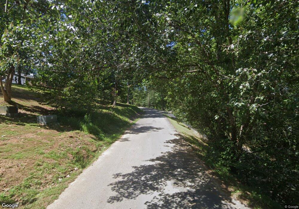
120 Doe Ln La Follette, TN 37766
Estimated Value: $185,476 - $273,000
--
Bed
1
Bath
1,564
Sq Ft
$140/Sq Ft
Est. Value
About This Home
This home is located at 120 Doe Ln, La Follette, TN 37766 and is currently estimated at $218,369, approximately $139 per square foot. 120 Doe Ln is a home located in Campbell County.
Ownership History
Date
Name
Owned For
Owner Type
Purchase Details
Closed on
Oct 18, 2011
Sold by
Richardson Melinda
Bought by
Smith Celissa Gail
Current Estimated Value
Home Financials for this Owner
Home Financials are based on the most recent Mortgage that was taken out on this home.
Original Mortgage
$86,323
Outstanding Balance
$7,574
Interest Rate
4.16%
Mortgage Type
Commercial
Estimated Equity
$210,795
Purchase Details
Closed on
Mar 15, 2004
Sold by
Sexton James Harley
Bought by
Richardson Melinda
Purchase Details
Closed on
Jul 24, 1974
Purchase Details
Closed on
Feb 3, 1973
Bought by
Sexton James A
Create a Home Valuation Report for This Property
The Home Valuation Report is an in-depth analysis detailing your home's value as well as a comparison with similar homes in the area
Home Values in the Area
Average Home Value in this Area
Purchase History
| Date | Buyer | Sale Price | Title Company |
|---|---|---|---|
| Smith Celissa Gail | $62,000 | -- | |
| Richardson Melinda | $65,000 | -- | |
| -- | -- | -- | |
| Sexton James A | -- | -- |
Source: Public Records
Mortgage History
| Date | Status | Borrower | Loan Amount |
|---|---|---|---|
| Open | Smith Celissa Gail | $86,323 |
Source: Public Records
Tax History Compared to Growth
Tax History
| Year | Tax Paid | Tax Assessment Tax Assessment Total Assessment is a certain percentage of the fair market value that is determined by local assessors to be the total taxable value of land and additions on the property. | Land | Improvement |
|---|---|---|---|---|
| 2025 | -- | $54,360 | $0 | $0 |
| 2024 | -- | $54,360 | $7,600 | $46,760 |
| 2023 | $1,289 | $38,360 | $7,600 | $30,760 |
| 2022 | $1,289 | $38,360 | $7,600 | $30,760 |
| 2021 | $1,289 | $38,360 | $7,600 | $30,760 |
| 2020 | $1,263 | $38,360 | $7,600 | $30,760 |
| 2019 | $1,289 | $38,360 | $7,600 | $30,760 |
| 2018 | $1,312 | $37,000 | $7,240 | $29,760 |
| 2017 | $1,312 | $37,000 | $7,240 | $29,760 |
| 2016 | $1,312 | $37,000 | $7,240 | $29,760 |
| 2015 | $1,215 | $37,000 | $7,240 | $29,760 |
| 2014 | $1,215 | $37,000 | $7,240 | $29,760 |
| 2013 | -- | $37,000 | $7,240 | $29,760 |
Source: Public Records
Map
Nearby Homes
- 134 Doe Crossing
- 0 Sam & Maria Lot 28 Way Unit 1298020
- 0 Lot 29 Sam & Maria Way Unit 1298022
- 0 Lot 30 Sam & Maria Way Unit 1298023
- 245 Doe Ln Unit 5
- 824 Deerfield Way
- 0 Deerfield Way Unit 1308162
- 0 Deerfield Way Unit 1304037
- 111 Deer Run Point
- 0 Antlers Way Unit 1260064
- 207 N Deer Hill Village Unit A
- 0 Deer Pond Cir Unit 1281466
- 0 Deer Pond Cir Unit 1281469
- 0 Deer Pond Cir Unit 1281473
- 0 Deer Pond Cir Unit 1281474
- 195 N Deer Village Ln Unit B
- 163 N Deer Village Ln
- 117 W Deer Hill Village Ln
- Lot 21 Buckeye Landing
- 131 N Deer Village Ln Unit B
- 116 Doe Ln
- 125 Doe Ln
- 127 Doe Ln
- 137 Doe Ln
- 143 Doe Ln
- 161 Doe Crossing
- 161 Doe Crossing
- 131 Doe Ln
- 131 Doe Ln
- 174 Doe Crossing
- 177 Doe Crossing
- 159 Doe Ln
- 775 Deerfield Way
- 765 Deerfield Way
- 299 Sam Maria Way
- 299 Sam and Maria Way
- 0 1 Sam Unit 1139564
- 0 Lot 28 Sam & Maria Way Unit 1280484
- 818 Deerfield Way
- 739 Deerfield Way
