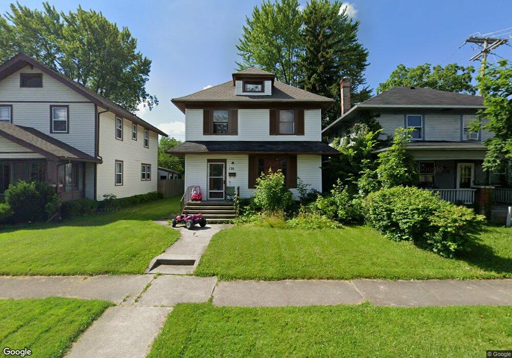
120 E Foster Pkwy Fort Wayne, IN 46806
Calhoun Place NeighborhoodEstimated Value: $108,000 - $127,000
3
Beds
1
Bath
2,160
Sq Ft
$54/Sq Ft
Est. Value
About This Home
This home is located at 120 E Foster Pkwy, Fort Wayne, IN 46806 and is currently estimated at $115,862, approximately $53 per square foot. 120 E Foster Pkwy is a home located in Allen County with nearby schools including Harrison Hill Elementary School, Kekionga Middle School, and South Side High School.
Ownership History
Date
Name
Owned For
Owner Type
Purchase Details
Closed on
Jan 21, 2010
Sold by
Blosser Lisbeth A
Bought by
Hannover Lending Llc
Current Estimated Value
Purchase Details
Closed on
Dec 28, 2006
Sold by
Gettinger Tammy
Bought by
White Pine Properties Inc
Purchase Details
Closed on
Jun 8, 2006
Sold by
Fisher Eric K
Bought by
Gettinger Tammy
Home Financials for this Owner
Home Financials are based on the most recent Mortgage that was taken out on this home.
Original Mortgage
$60,300
Interest Rate
6.66%
Mortgage Type
Stand Alone First
Create a Home Valuation Report for This Property
The Home Valuation Report is an in-depth analysis detailing your home's value as well as a comparison with similar homes in the area
Home Values in the Area
Average Home Value in this Area
Purchase History
| Date | Buyer | Sale Price | Title Company |
|---|---|---|---|
| Hannover Lending Llc | $3,025 | None Available | |
| White Pine Properties Inc | -- | None Available | |
| Gettinger Tammy | -- | Nationwide Title Clearing In |
Source: Public Records
Mortgage History
| Date | Status | Borrower | Loan Amount |
|---|---|---|---|
| Previous Owner | Gettinger Tammy | $60,300 |
Source: Public Records
Tax History Compared to Growth
Tax History
| Year | Tax Paid | Tax Assessment Tax Assessment Total Assessment is a certain percentage of the fair market value that is determined by local assessors to be the total taxable value of land and additions on the property. | Land | Improvement |
|---|---|---|---|---|
| 2024 | $1,404 | $62,600 | $15,800 | $46,800 |
| 2022 | $1,056 | $47,000 | $5,100 | $41,900 |
| 2021 | $730 | $32,600 | $3,100 | $29,500 |
| 2020 | $641 | $29,300 | $2,600 | $26,700 |
| 2019 | $625 | $28,700 | $3,500 | $25,200 |
| 2018 | $719 | $32,800 | $4,100 | $28,700 |
| 2017 | $695 | $31,400 | $4,400 | $27,000 |
| 2016 | $582 | $26,700 | $3,200 | $23,500 |
| 2014 | $391 | $18,800 | $2,800 | $16,000 |
| 2013 | $363 | $17,500 | $2,500 | $15,000 |
Source: Public Records
Map
Nearby Homes
- 121 E Branning Ave
- 4025 S Calhoun St
- 4126 S Calhoun St
- 4029 Barr St
- 319 McKinnie Ave
- 3809 Barr St
- 341 McKinnie Ave
- 117 Lexington Ave
- 4002 Avondale Dr
- 133 Lexington Ave
- 4316 Marquette Dr
- 3722 S Harrison St
- 214 N Seminole Cir
- 4422 Marquette Dr
- 4442 Kenilworth St
- 4105 Hoagland Ave
- 4438 Wilmette St
- 4021 Monroe St
- 407 Lexington Ave
- 4519 E Lafayette Esplanade
- 124 E Foster Pkwy
- 116 E Foster Pkwy
- 128 E Foster Pkwy
- 114 E Foster Pkwy
- 132 E Foster Pkwy
- 4005 S Calhoun St
- 4007 S Calhoun St
- 115 E Branning Ave
- 4015 S Calhoun St
- 125 E Branning Ave
- 204 E Foster Pkwy
- 127 E Branning Ave
- 4001 S Calhoun St
- 4017 S Calhoun St
- 131 E Branning Ave
- 206 E Foster Pkwy
- 3931 S Calhoun St
- 113 E Branning Ave
- 4021 S Calhoun St
- 201 E Branning Ave