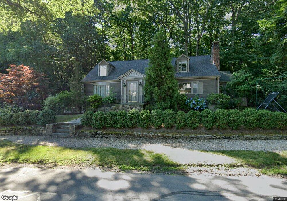
120 Fairway Rd Chestnut Hill, MA 02467
Chestnut Hill NeighborhoodEstimated Value: $2,056,000 - $2,584,000
4
Beds
4
Baths
2,550
Sq Ft
$880/Sq Ft
Est. Value
About This Home
This home is located at 120 Fairway Rd, Chestnut Hill, MA 02467 and is currently estimated at $2,243,463, approximately $879 per square foot. 120 Fairway Rd is a home located in Norfolk County with nearby schools including Heath Elementary School, Brimmer & May School, and The Chestnut Hill School.
Ownership History
Date
Name
Owned For
Owner Type
Purchase Details
Closed on
Jan 25, 2005
Sold by
Janice M Melone T and Mccourt Edna F
Bought by
Mason Ashley H and Mason Nathaniel S
Current Estimated Value
Home Financials for this Owner
Home Financials are based on the most recent Mortgage that was taken out on this home.
Original Mortgage
$360,000
Outstanding Balance
$182,501
Interest Rate
5.71%
Mortgage Type
Purchase Money Mortgage
Estimated Equity
$2,060,962
Purchase Details
Closed on
Feb 18, 2000
Sold by
Mccourt Lillian D
Bought by
Mccourt Edna F
Purchase Details
Closed on
Apr 9, 1997
Sold by
Saltzbger Exr Alfred J and Saltzberg Exr Alfred S
Bought by
Mccourt Lillian D and Mccourt Edna F
Create a Home Valuation Report for This Property
The Home Valuation Report is an in-depth analysis detailing your home's value as well as a comparison with similar homes in the area
Home Values in the Area
Average Home Value in this Area
Purchase History
| Date | Buyer | Sale Price | Title Company |
|---|---|---|---|
| Mason Ashley H | $883,100 | -- | |
| Mccourt Edna F | $231,000 | -- | |
| Mccourt Lillian D | $459,000 | -- |
Source: Public Records
Mortgage History
| Date | Status | Borrower | Loan Amount |
|---|---|---|---|
| Open | Mason Ashley H | $360,000 | |
| Closed | Mason Ashley H | $150,000 |
Source: Public Records
Tax History Compared to Growth
Tax History
| Year | Tax Paid | Tax Assessment Tax Assessment Total Assessment is a certain percentage of the fair market value that is determined by local assessors to be the total taxable value of land and additions on the property. | Land | Improvement |
|---|---|---|---|---|
| 2025 | $20,163 | $2,042,900 | $1,341,900 | $701,000 |
| 2024 | $19,182 | $1,963,400 | $1,290,300 | $673,100 |
| 2023 | $17,152 | $1,720,400 | $1,059,600 | $660,800 |
| 2022 | $16,695 | $1,638,400 | $1,009,100 | $629,300 |
| 2021 | $15,439 | $1,575,400 | $970,300 | $605,100 |
| 2020 | $13,972 | $1,478,500 | $882,100 | $596,400 |
| 2019 | $13,120 | $1,400,200 | $840,100 | $560,100 |
| 2018 | $12,841 | $1,357,400 | $825,900 | $531,500 |
| 2017 | $12,652 | $1,280,600 | $779,100 | $501,500 |
| 2016 | $12,471 | $1,196,800 | $728,100 | $468,700 |
| 2015 | $11,946 | $1,118,500 | $680,500 | $438,000 |
| 2014 | $12,034 | $1,056,500 | $625,900 | $430,600 |
Source: Public Records
Map
Nearby Homes
- 142 Crafts Rd
- 1014 Boylston St
- 76 Norfolk Rd
- 174 Middlesex Rd
- 335 Heath St
- 130 Cabot St
- 88 Cutler Ln
- 30 Ackers Ave
- 55 Reservoir Rd Unit 2
- 675 Chestnut Hill Ave
- 540 Chestnut Hill Ave
- 2400 Beacon St Unit 112
- 9 Willard Rd
- 85 Gate House Rd
- 0 Glenoe Rd
- 3 Glenoe Rd
- 6 Sutherland Rd Unit 41
- 44 Orkney Rd Unit 3
- 41 Orkney Rd
- 120 Seaver St Unit A103