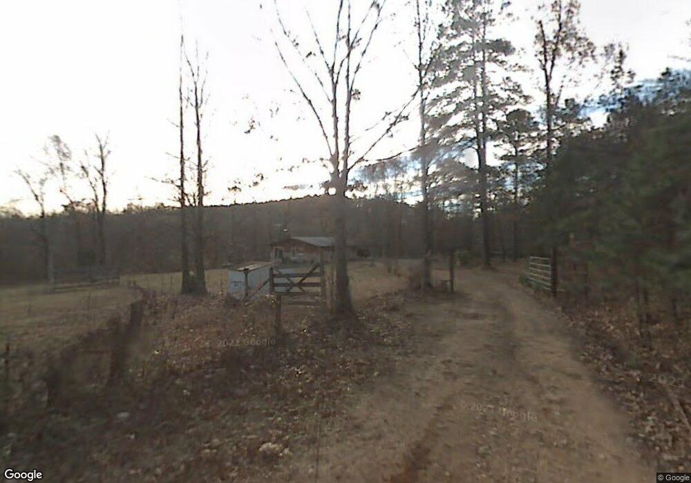
120 Fox Run Dr Mount Ida, AR 71957
Estimated Value: $148,580 - $208,000
Studio
2
Baths
1,448
Sq Ft
$123/Sq Ft
Est. Value
About This Home
This home is located at 120 Fox Run Dr, Mount Ida, AR 71957 and is currently estimated at $177,895, approximately $122 per square foot. 120 Fox Run Dr is a home located in Montgomery County with nearby schools including Bobby Barrett Elementary and Mount Ida High School.
Ownership History
Date
Name
Owned For
Owner Type
Purchase Details
Closed on
Nov 16, 2004
Bought by
Harrod Bruce and Chris Lee
Current Estimated Value
Purchase Details
Closed on
Oct 7, 2003
Bought by
Ottinger Wanda L and Bruce Harrod
Purchase Details
Closed on
Aug 12, 2003
Bought by
Stanley Jack W and Stanley Sandra J
Purchase Details
Closed on
Sep 10, 2001
Bought by
Stanley Jack
Purchase Details
Closed on
Sep 7, 2001
Bought by
Ocwen Federal Bank
Purchase Details
Closed on
Jul 10, 2000
Bought by
Ocwen Federal Bank Fsb
Purchase Details
Closed on
Nov 22, 1996
Bought by
Knighton Don and Knighton Kaye
Purchase Details
Closed on
Oct 24, 1996
Bought by
Fikes Martha and Fikes Leon
Purchase Details
Closed on
Jun 24, 1996
Bought by
Fikes Martha
Purchase Details
Closed on
Feb 3, 1988
Bought by
Lagasse Awtrey
Create a Home Valuation Report for This Property
The Home Valuation Report is an in-depth analysis detailing your home's value as well as a comparison with similar homes in the area
Purchase History
| Date | Buyer | Sale Price | Title Company |
|---|---|---|---|
| Harrod Bruce | -- | -- | |
| Ottinger Wanda L | $65,000 | -- | |
| Stanley Jack W | -- | -- | |
| Stanley Jack | $34,000 | -- | |
| Ocwen Federal Bank | -- | -- | |
| Ocwen Federal Bank Fsb | -- | -- | |
| Knighton Don | $35,000 | -- | |
| Fikes Martha | -- | -- | |
| Fikes Martha | -- | -- | |
| Lagasse Awtrey Trust | -- | -- | |
| Lagasse Awtrey | -- | -- |
Source: Public Records
Tax History Compared to Growth
Tax History
| Year | Tax Paid | Tax Assessment Tax Assessment Total Assessment is a certain percentage of the fair market value that is determined by local assessors to be the total taxable value of land and additions on the property. | Land | Improvement |
|---|---|---|---|---|
| 2025 | $806 | $23,470 | $4,520 | $18,950 |
| 2024 | $683 | $23,470 | $4,520 | $18,950 |
| 2023 | $683 | $23,470 | $4,520 | $18,950 |
| 2022 | $621 | $14,670 | $3,890 | $10,780 |
| 2021 | $621 | $14,670 | $3,890 | $10,780 |
| 2020 | $621 | $14,670 | $3,890 | $10,780 |
| 2019 | $621 | $14,670 | $3,890 | $10,780 |
| 2018 | $614 | $14,670 | $3,890 | $10,780 |
| 2017 | $558 | $13,200 | $4,050 | $9,150 |
| 2016 | $558 | $13,200 | $4,050 | $9,150 |
| 2014 | $558 | $13,200 | $4,050 | $9,150 |
Source: Public Records
Map
Nearby Homes
- 47 Fox Run Dr
- 1343 Highway 27 S
- 21 Brakefield Ln
- 1262 Highway 27 S
- 1262 Highway 27 S
- 22 Brakefield Ln
- 1193 Highway 27 S
- 140 Ozark Cedar Rd
- 1184 Highway 27 S
- 0 Highway 27 S Unit 20032542
- 0 Highway 27 S Unit 17009614
- 1157 Highway 27 S
- 1068 Highway 27 S
- 1068 S Hwy 27
- 1068 Arkansas 27
- 1741 Highway 27 S
- 1762 Highway 27 S
- 336 Alexander Rd
- 1020 Highway 27 S
