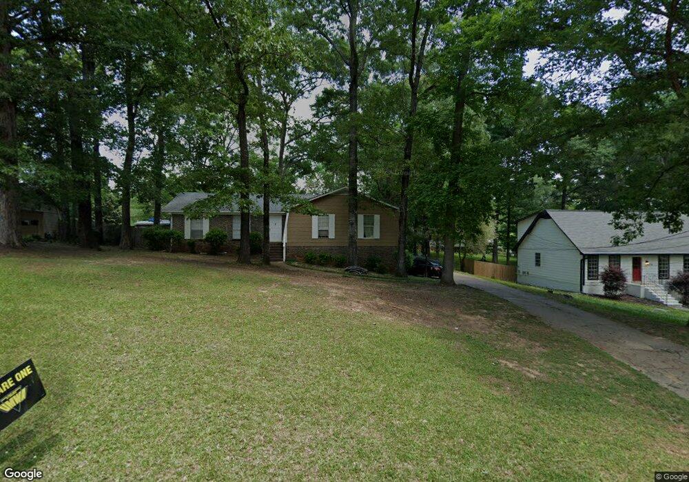
120 Hickory St Maylene, AL 35114
Estimated Value: $207,000 - $286,000
3
Beds
2
Baths
1,512
Sq Ft
$169/Sq Ft
Est. Value
About This Home
This home is located at 120 Hickory St, Maylene, AL 35114 and is currently estimated at $255,221, approximately $168 per square foot. 120 Hickory St is a home located in Shelby County with nearby schools including Thompson Intermediate School, Thompson Middle School, and Thompson High School.
Ownership History
Date
Name
Owned For
Owner Type
Purchase Details
Closed on
Aug 18, 2008
Sold by
National Loan Investors Lp
Bought by
Colvin Christopher Roy
Current Estimated Value
Home Financials for this Owner
Home Financials are based on the most recent Mortgage that was taken out on this home.
Original Mortgage
$120,370
Outstanding Balance
$78,963
Interest Rate
6.32%
Mortgage Type
Purchase Money Mortgage
Estimated Equity
$176,258
Purchase Details
Closed on
Aug 15, 2007
Sold by
Webb Robert C and Webb Catherine C
Bought by
National Loan Investors Lp
Create a Home Valuation Report for This Property
The Home Valuation Report is an in-depth analysis detailing your home's value as well as a comparison with similar homes in the area
Home Values in the Area
Average Home Value in this Area
Purchase History
| Date | Buyer | Sale Price | Title Company |
|---|---|---|---|
| Colvin Christopher Roy | $87,300 | None Available | |
| National Loan Investors Lp | $109,491 | None Available |
Source: Public Records
Mortgage History
| Date | Status | Borrower | Loan Amount |
|---|---|---|---|
| Open | Colvin Christopher Roy | $120,370 |
Source: Public Records
Tax History Compared to Growth
Tax History
| Year | Tax Paid | Tax Assessment Tax Assessment Total Assessment is a certain percentage of the fair market value that is determined by local assessors to be the total taxable value of land and additions on the property. | Land | Improvement |
|---|---|---|---|---|
| 2024 | $1,243 | $23,020 | $0 | $0 |
| 2023 | $1,116 | $21,420 | $0 | $0 |
| 2022 | $1,034 | $19,900 | $0 | $0 |
| 2021 | $917 | $17,740 | $0 | $0 |
| 2020 | $848 | $16,460 | $0 | $0 |
| 2019 | $793 | $15,440 | $0 | $0 |
| 2017 | $643 | $12,660 | $0 | $0 |
| 2015 | $624 | $12,320 | $0 | $0 |
| 2014 | $609 | $12,040 | $0 | $0 |
Source: Public Records
Map
Nearby Homes
- 128 Oak St
- 104 Maple St
- 1315 Yellowleaf Cir
- 409 Sweet Leaf Ln
- 1166 Eagle Dr
- 731 Crider Rd
- 155 Victoria Station
- 640 Round Rd
- 252 Lacey Ave
- 226 Lake Forest Way
- 257 Lacey Ave
- 549 Ramsgate Dr
- 236 Queens Gate
- 545 Ramsgate Dr
- 501 Ramsgate Dr
- 208 Queens Gate
- 309 Cedar Grove Ct
- 217 Kensington Ln
- 537 Ramsgate Dr
- 306 Mayfair Cir