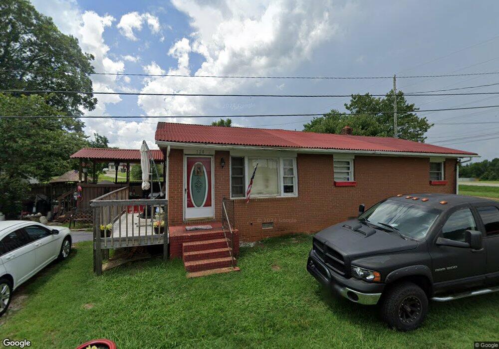
120 Larry Dr Lexington, NC 27295
Estimated Value: $72,000 - $153,000
3
Beds
1
Bath
1,075
Sq Ft
$99/Sq Ft
Est. Value
About This Home
This home is located at 120 Larry Dr, Lexington, NC 27295 and is currently estimated at $106,490, approximately $99 per square foot. 120 Larry Dr is a home located in Davidson County with nearby schools including South Lexington School, Lexington Middle School, and Lexington Senior High School.
Ownership History
Date
Name
Owned For
Owner Type
Purchase Details
Closed on
Nov 26, 2024
Sold by
Mullins Jeffrey A
Bought by
Kainc Properties Llc
Current Estimated Value
Purchase Details
Closed on
Feb 1, 2006
Sold by
Byerly Wanda and Hedrick Rodney
Bought by
Mullins Jeffrey A
Home Financials for this Owner
Home Financials are based on the most recent Mortgage that was taken out on this home.
Original Mortgage
$34,500
Interest Rate
6.21%
Mortgage Type
Seller Take Back
Create a Home Valuation Report for This Property
The Home Valuation Report is an in-depth analysis detailing your home's value as well as a comparison with similar homes in the area
Home Values in the Area
Average Home Value in this Area
Purchase History
| Date | Buyer | Sale Price | Title Company |
|---|---|---|---|
| Kainc Properties Llc | $64,000 | None Listed On Document | |
| Kainc Properties Llc | $64,000 | None Listed On Document | |
| Kainc Properties Llc | $64,000 | None Listed On Document | |
| Mullins Jeffrey A | $35,000 | None Available |
Source: Public Records
Mortgage History
| Date | Status | Borrower | Loan Amount |
|---|---|---|---|
| Previous Owner | Mullins Jeffrey A | $34,500 |
Source: Public Records
Tax History
| Year | Tax Paid | Tax Assessment Tax Assessment Total Assessment is a certain percentage of the fair market value that is determined by local assessors to be the total taxable value of land and additions on the property. | Land | Improvement |
|---|---|---|---|---|
| 2025 | $539 | $70,210 | $0 | $0 |
| 2024 | $539 | $70,210 | $0 | $0 |
| 2023 | $539 | $70,210 | $0 | $0 |
| 2022 | $539 | $70,210 | $0 | $0 |
| 2021 | $526 | $70,210 | $0 | $0 |
| 2020 | $401 | $53,540 | $0 | $0 |
| 2019 | $407 | $53,540 | $0 | $0 |
| 2018 | $407 | $53,540 | $0 | $0 |
| 2017 | $407 | $53,540 | $0 | $0 |
| 2016 | $407 | $53,540 | $0 | $0 |
| 2015 | $407 | $53,540 | $0 | $0 |
| 2014 | $435 | $57,240 | $0 | $0 |
Source: Public Records
Map
Nearby Homes
- 340 Ovada Ave
- 215 James St
- 206 Choyce St
- 12 Hawthorne Ln
- 106 Emlee St
- 213 Sidney St
- 816 Olympia St Unit 292
- 816 Olympia St
- 358 Harper Mill Cir
- 354 Harper Mill Cir
- 385 Harper Mill Cir
- 381 Harper Mill Cir
- 367 Harper Mill Cir
- 361 Harper Mill Cir
- 708 1st Rainbow St
- 33 Mill St
- 37 Mill St
- 138 Elizabeth St
- 1 Knob Dr
- 120 Habersham Ct
- 403 Biesecker Rd
- 147 Dolcetto Ave Unit 109
- 147 Dolcetto Ave
- 118 Larry Dr
- 117 Larry Dr
- 405 Biesecker Rd
- 116 Larry Dr
- 494 Boaze Rd
- 114 Larry Dr
- 549 Boaze Rd
- 414 Hillside Dr
- 113 Larry Dr
- 412 Hillside Dr
- 410 Hillside Dr
- 503 Biesecker Rd
- 543 Boaze Rd
- 110 Larry Dr
- 408 Hillside Dr
- 484 Boaze Rd
- 111 Larry Dr
Your Personal Tour Guide
Ask me questions while you tour the home.