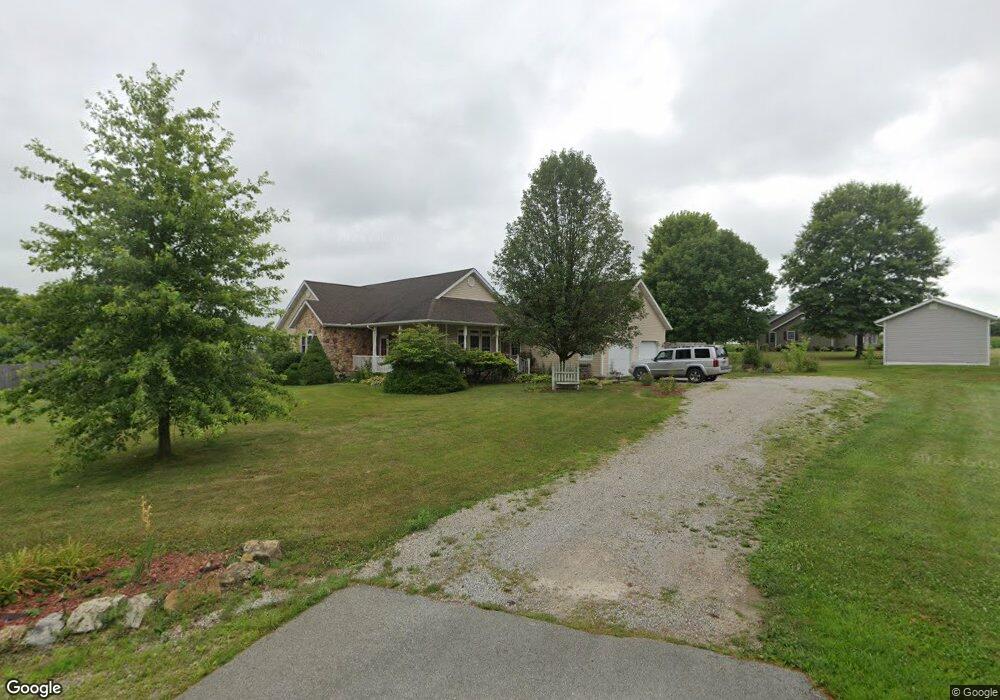
120 Lewis Ln Seaman, OH 45679
Estimated Value: $237,000 - $301,000
3
Beds
2
Baths
1,564
Sq Ft
$170/Sq Ft
Est. Value
About This Home
This home is located at 120 Lewis Ln, Seaman, OH 45679 and is currently estimated at $266,392, approximately $170 per square foot. 120 Lewis Ln is a home located in Adams County with nearby schools including North Adams Elementary School and North Adams High School.
Ownership History
Date
Name
Owned For
Owner Type
Purchase Details
Closed on
Nov 19, 2007
Sold by
Moore Betty L
Bought by
Gorman Malisa
Current Estimated Value
Home Financials for this Owner
Home Financials are based on the most recent Mortgage that was taken out on this home.
Original Mortgage
$134,700
Outstanding Balance
$94,559
Interest Rate
6.33%
Mortgage Type
USDA
Estimated Equity
$171,833
Purchase Details
Closed on
Dec 30, 2004
Bought by
Pertuset Ralph
Purchase Details
Closed on
May 3, 1999
Sold by
Lewis William C
Bought by
Lewis William C Trustees
Purchase Details
Closed on
Jan 1, 1990
Bought by
Lewis William C
Create a Home Valuation Report for This Property
The Home Valuation Report is an in-depth analysis detailing your home's value as well as a comparison with similar homes in the area
Home Values in the Area
Average Home Value in this Area
Purchase History
| Date | Buyer | Sale Price | Title Company |
|---|---|---|---|
| Gorman Malisa | $137,900 | None Available | |
| Pertuset Ralph | $15,000 | -- | |
| Lewis William C Trustees | -- | -- | |
| Lewis William C | -- | -- |
Source: Public Records
Mortgage History
| Date | Status | Borrower | Loan Amount |
|---|---|---|---|
| Open | Gorman Malisa | $134,700 |
Source: Public Records
Tax History Compared to Growth
Tax History
| Year | Tax Paid | Tax Assessment Tax Assessment Total Assessment is a certain percentage of the fair market value that is determined by local assessors to be the total taxable value of land and additions on the property. | Land | Improvement |
|---|---|---|---|---|
| 2024 | $2,243 | $50,970 | $6,060 | $44,910 |
| 2023 | $2,243 | $50,970 | $6,060 | $44,910 |
| 2022 | $2,243 | $44,070 | $4,730 | $39,340 |
| 2021 | $2,126 | $44,070 | $4,730 | $39,340 |
| 2020 | $2,163 | $44,070 | $4,730 | $39,340 |
| 2019 | $2,163 | $44,070 | $4,730 | $39,340 |
| 2018 | $1,916 | $38,930 | $4,730 | $34,200 |
| 2017 | $1,892 | $38,930 | $4,730 | $34,200 |
| 2016 | $1,890 | $38,930 | $4,730 | $34,200 |
| 2015 | $1,893 | $43,820 | $7,700 | $36,120 |
| 2014 | $1,893 | $43,820 | $7,700 | $36,120 |
Source: Public Records
Map
Nearby Homes
- ac Ohio 247
- 1.15 ac Ohio 247
- 17479 Ohio 247
- 0 Tranquility Pike
- 113 Columbia St
- 6514 Tri County Rd
- 68 Curt Rd
- 332 Silver Ln
- 1143 Dotson Rd
- 359 Buck Run Rd
- 195 Silver
- 4603 Wheat Ridge Rd
- 13529 Ohio 247
- 4016 Unity Rd
- 17217 Ohio 136
- 288 Graces Run Rd
- 3551 Unity Rd
- 635 Pence Rd
- 115 Orchard Ave
- 65 Maple Ave