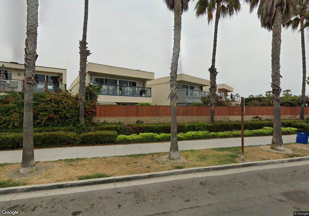
120 Mainsail Ct Port Hueneme, CA 93041
Estimated Value: $877,618 - $1,123,000
3
Beds
3
Baths
1,780
Sq Ft
$544/Sq Ft
Est. Value
About This Home
This home is located at 120 Mainsail Ct, Port Hueneme, CA 93041 and is currently estimated at $968,405, approximately $544 per square foot. 120 Mainsail Ct is a home located in Ventura County with nearby schools including Hueneme Elementary and Hueneme High School.
Ownership History
Date
Name
Owned For
Owner Type
Purchase Details
Closed on
Feb 22, 2001
Sold by
Wilson Raymond T and Wilson Jennie L
Bought by
Wittry Patricia M
Current Estimated Value
Purchase Details
Closed on
Jun 23, 1998
Sold by
Blahut Donald J
Bought by
Wilson Raymond T and Wilson Jennie L
Home Financials for this Owner
Home Financials are based on the most recent Mortgage that was taken out on this home.
Original Mortgage
$210,000
Interest Rate
6.82%
Create a Home Valuation Report for This Property
The Home Valuation Report is an in-depth analysis detailing your home's value as well as a comparison with similar homes in the area
Home Values in the Area
Average Home Value in this Area
Purchase History
| Date | Buyer | Sale Price | Title Company |
|---|---|---|---|
| Wittry Patricia M | $440,000 | Stewart Title | |
| Wilson Raymond T | $269,000 | Lawyers Title Company |
Source: Public Records
Mortgage History
| Date | Status | Borrower | Loan Amount |
|---|---|---|---|
| Previous Owner | Wilson Raymond T | $210,000 |
Source: Public Records
Tax History Compared to Growth
Tax History
| Year | Tax Paid | Tax Assessment Tax Assessment Total Assessment is a certain percentage of the fair market value that is determined by local assessors to be the total taxable value of land and additions on the property. | Land | Improvement |
|---|---|---|---|---|
| 2025 | $2,174 | $183,082 | $80,387 | $102,695 |
| 2024 | $2,174 | $179,493 | $78,811 | $100,682 |
| 2023 | $2,070 | $175,974 | $77,266 | $98,708 |
| 2022 | $2,012 | $172,524 | $75,751 | $96,773 |
| 2021 | $2,009 | $169,142 | $74,266 | $94,876 |
| 2020 | $1,985 | $167,409 | $73,505 | $93,904 |
| 2019 | $1,957 | $164,127 | $72,064 | $92,063 |
| 2018 | $1,894 | $160,909 | $70,651 | $90,258 |
| 2017 | $1,827 | $157,755 | $69,266 | $88,489 |
| 2016 | $1,773 | $154,662 | $67,908 | $86,754 |
| 2015 | $1,729 | $152,340 | $66,889 | $85,451 |
| 2014 | $1,712 | $149,358 | $65,580 | $83,778 |
Source: Public Records
Map
Nearby Homes
- 137 Mainsail Ct
- 240 E Surfside Dr
- 209 S Ventura Rd Unit 31
- 277 E Surfside Dr
- 225 S Ventura Rd Unit 86
- 225 S Ventura Rd Unit 102
- 225 S Ventura Rd Unit 79
- 201 S Ventura Rd Unit 15
- 558 Terrace View Place
- 618 Island View Cir Unit 618
- 470 Sanddollar Ln
- 664 Beachport Dr
- 303 Blue Dolphin Dr
- 509 4th Place
- 705 Ocean View Dr Unit 705A
- 660 Sunfish Way
- 632 Joyce Dr
- 755 Ocean Breeze Dr
- 761 Reef Cir
- 117 Ann Ave
- 116 Mainsail Ct
- 124 Mainsail Ct
- 112 Mainsail Ct
- 128 Mainsail Ct
- 132 Mainsail Ct
- 129 Mainsail Ct
- 133 Mainsail Ct
- 136 Mainsail Ct
- 140 Mainsail Ct
- 132 Seaspray Way
- 141 Mainsail Ct
- 144 Mainsail Ct
- 136 Seaspray Way
- 145 Mainsail Ct
- 140 Seaspray Way
- 148 Mainsail Ct
- 144 Seaspray Way
- 149 Mainsail Ct
- 119 Seaspray Way
- 152 Mainsail Ct