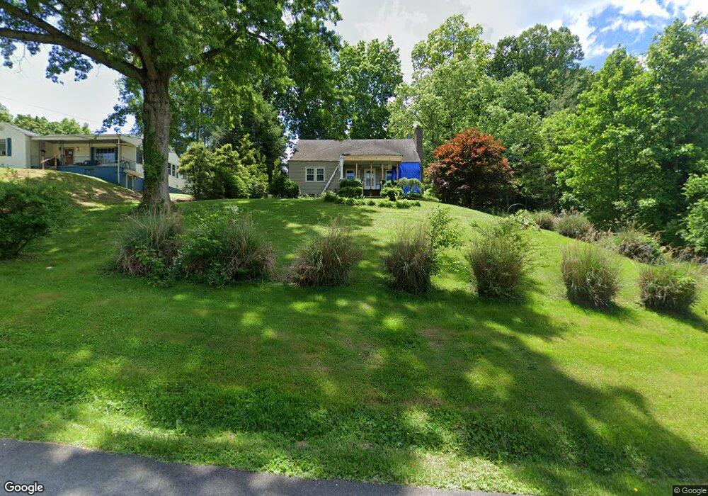
120 Maplelawn Dr Bristol, TN 37620
Estimated Value: $234,000 - $262,690
4
Beds
2
Baths
2,100
Sq Ft
$119/Sq Ft
Est. Value
About This Home
This home is located at 120 Maplelawn Dr, Bristol, TN 37620 and is currently estimated at $249,173, approximately $118 per square foot. 120 Maplelawn Dr is a home located in Sullivan County with nearby schools including Anderson Elementary School, Vance Middle School, and Tennessee High School.
Ownership History
Date
Name
Owned For
Owner Type
Purchase Details
Closed on
Oct 31, 2007
Sold by
Gerdts E F
Bought by
Abrams Richard P
Current Estimated Value
Home Financials for this Owner
Home Financials are based on the most recent Mortgage that was taken out on this home.
Original Mortgage
$95,000
Outstanding Balance
$59,734
Interest Rate
6.26%
Estimated Equity
$189,439
Purchase Details
Closed on
Sep 11, 2006
Sold by
Gmac Mortgage
Bought by
Gerdts E R
Purchase Details
Closed on
Mar 10, 2006
Purchase Details
Closed on
Aug 22, 1995
Sold by
Pippin Boothe Judy
Bought by
Carla Humphreys
Create a Home Valuation Report for This Property
The Home Valuation Report is an in-depth analysis detailing your home's value as well as a comparison with similar homes in the area
Home Values in the Area
Average Home Value in this Area
Purchase History
| Date | Buyer | Sale Price | Title Company |
|---|---|---|---|
| Abrams Richard P | $100,000 | -- | |
| Gerdts E R | $60,000 | -- | |
| -- | $76,400 | -- | |
| Carla Humphreys | $50,000 | -- |
Source: Public Records
Mortgage History
| Date | Status | Borrower | Loan Amount |
|---|---|---|---|
| Open | Carla Humphreys | $95,000 |
Source: Public Records
Tax History Compared to Growth
Tax History
| Year | Tax Paid | Tax Assessment Tax Assessment Total Assessment is a certain percentage of the fair market value that is determined by local assessors to be the total taxable value of land and additions on the property. | Land | Improvement |
|---|---|---|---|---|
| 2024 | -- | $28,550 | $4,550 | $24,000 |
| 2023 | $1,254 | $28,550 | $4,550 | $24,000 |
| 2022 | $1,254 | $28,550 | $4,550 | $24,000 |
| 2021 | $1,254 | $28,550 | $4,550 | $24,000 |
| 2020 | $1,287 | $28,550 | $4,550 | $24,000 |
| 2019 | $1,287 | $27,200 | $4,550 | $22,650 |
| 2018 | $1,282 | $27,200 | $4,550 | $22,650 |
| 2017 | $1,282 | $27,200 | $4,550 | $22,650 |
| 2016 | $1,188 | $24,625 | $4,550 | $20,075 |
| 2014 | $1,121 | $24,618 | $0 | $0 |
Source: Public Records
Map
Nearby Homes
- 113 Neal Dr
- 528 Highway 126
- 2909 Bay St
- 124 Boardwalk
- 129 Grove Park Dr
- 129 Amhurst Ln
- Tbd Kelly Ridge Rd
- 2228 Bay St
- 2461 Bradley St
- 107 Dover Ln
- 222 Old Stage Dr
- 2400 Bradley St
- 000 Hemlock Dr
- 2413 Catherine St
- 1901 Anderson St
- 2412,14,16 Bradley St
- 1323/1385 Island Rd
- 2241 Bradley St
- 548 Floyd St
- 2000 Euclid Ave
- 116 Maplelawn Dr
- 124 Maplelawn Dr
- 119 Maplelawn Dr
- 112 Maplelawn Dr
- 117 Maplelawn Dr
- 125 Maplelawn Dr
- 115 Maplelawn Dr
- 127 Maplelawn Dr
- 111 Maplelawn Dr
- 110 Maplelawn Dr
- 500 Hilltop Rd
- 107 Maplelawn Dr
- 416 Hilltop Rd
- 110 Neal Dr
- 108 Neal Dr
- 112 Neal Dr
- 114 Neal Dr
- 106 Neal Dr
- 412 Hilltop Rd
- 116 Neal Dr