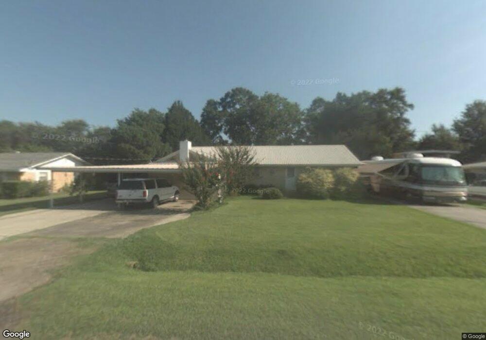
120 Michael Dr Franklin, LA 70538
Estimated Value: $158,000 - $186,000
Studio
--
Bath
720
Sq Ft
$234/Sq Ft
Est. Value
About This Home
This home is located at 120 Michael Dr, Franklin, LA 70538 and is currently estimated at $168,251, approximately $233 per square foot. 120 Michael Dr is a home located in St. Mary Parish with nearby schools including LaGrange Elementary School, Franklin Junior High School, and Franklin Senior High School.
Ownership History
Date
Name
Owned For
Owner Type
Purchase Details
Closed on
Oct 16, 2020
Sold by
Powers-Splane Sharon
Bought by
Johnson Cody M
Current Estimated Value
Home Financials for this Owner
Home Financials are based on the most recent Mortgage that was taken out on this home.
Original Mortgage
$138,383
Outstanding Balance
$121,966
Interest Rate
2.9%
Mortgage Type
New Conventional
Estimated Equity
$46,285
Purchase Details
Closed on
Aug 8, 2016
Sold by
Splane Benjamin R
Bought by
Splane Sharon Powers
Purchase Details
Closed on
Mar 11, 2015
Sold by
Splane Benjamin A
Bought by
Splane Benjamin R and Splane Flor Maria Jaen Reyes
Purchase Details
Closed on
Jul 10, 2013
Sold by
Splane Benjamin R
Bought by
Splane Benjamin A
Create a Home Valuation Report for This Property
The Home Valuation Report is an in-depth analysis detailing your home's value as well as a comparison with similar homes in the area
Home Values in the Area
Average Home Value in this Area
Purchase History
| Date | Buyer | Sale Price | Title Company |
|---|---|---|---|
| Johnson Cody M | $137,000 | None Available | |
| Splane Sharon Powers | $58,290 | -- | |
| Splane Benjamin R | -- | -- | |
| Splane Benjamin A | -- | -- | |
| Splane Benjamin A | -- | -- |
Source: Public Records
Mortgage History
| Date | Status | Borrower | Loan Amount |
|---|---|---|---|
| Open | Johnson Cody M | $138,383 |
Source: Public Records
Tax History
| Year | Tax Paid | Tax Assessment Tax Assessment Total Assessment is a certain percentage of the fair market value that is determined by local assessors to be the total taxable value of land and additions on the property. | Land | Improvement |
|---|---|---|---|---|
| 2025 | $1,740 | $13,636 | $1,836 | $11,800 |
| 2024 | $1,740 | $13,636 | $1,836 | $11,800 |
| 2023 | $1,767 | $13,636 | $1,836 | $11,800 |
| 2022 | $1,728 | $13,636 | $1,836 | $11,800 |
| 2021 | $1,815 | $13,636 | $1,836 | $11,800 |
| 2020 | $1,003 | $7,535 | $1,299 | $6,236 |
| 2019 | $972 | $7,500 | $1,299 | $6,201 |
| 2018 | $972 | $7,500 | $1,299 | $6,201 |
| 2017 | $927 | $7,500 | $1,299 | $6,201 |
| 2016 | $927 | $7,500 | $1,299 | $6,201 |
| 2015 | $942 | $6,371 | $0 | $6,371 |
| 2014 | $18 | $6,371 | $0 | $6,371 |
| 2013 | -- | $6,371 | $0 | $6,371 |
Source: Public Records
Map
Nearby Homes
- 625 Hamm St
- 613 Hamm St
- 1810 Chatsworth Rd
- 704 Ash St
- 926 S Luke Dr
- 925 S Luke Dr
- 928 S Luke Dr
- 914 S Luke Dr
- 821 Guidroz St
- 700 Magnolia St
- 1017 N Luke Dr
- 810 Abbirene St
- 1330 Northwest Blvd
- 1016 N Luke Dr
- 1015 N Luke Dr
- 1009 N Luke Dr
- 805 10th St
- 1326 Northwest Blvd
- 1326 Northwest Blvd Unit 1f(A)
- 806 Carl C Foulcard Dr
- 120 Michael Dr
- 120 Michael Dr
- 128 Michael Dr
- 135 Michael Dr
- 114 Michael Dr
- 134 Michael Dr
- 2500 Chatsworth Rd
- 2500 Chatsworth Rd
- 2500 Chatsworth Rd
- 2406 Chatsworth Rd
- 2406 Chatsworth Rd
- 121 Michael Dr
- 2506 Chatsworth Rd
- 2506 Chatsworth Rd
- 144 Michael Dr
- 2512 Chatsworth Rd
- 2512 Chatsworth Rd
- 2512 Chatsworth Rd
- 2512 Chatsworth Rd
- 145 Michael Dr