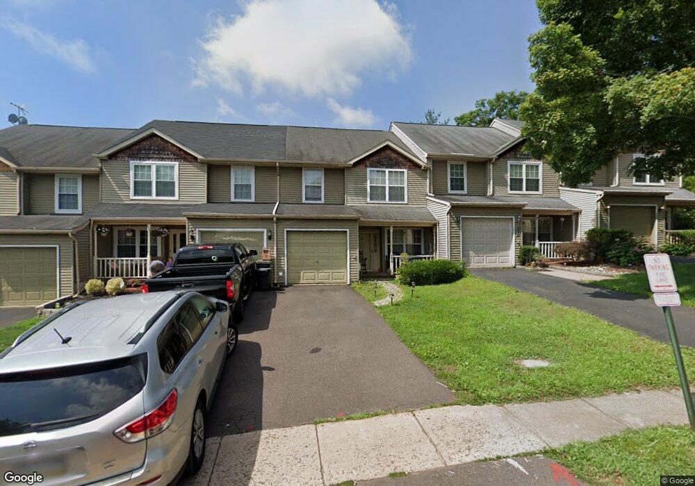
120 Mulberry Dr Southampton, PA 18966
Estimated Value: $476,000 - $504,000
3
Beds
3
Baths
1,964
Sq Ft
$250/Sq Ft
Est. Value
About This Home
This home is located at 120 Mulberry Dr, Southampton, PA 18966 and is currently estimated at $491,832, approximately $250 per square foot. 120 Mulberry Dr is a home located in Bucks County with nearby schools including Rolling Hills Elementary School, Richboro Middle School, and Council Rock High School - South.
Ownership History
Date
Name
Owned For
Owner Type
Purchase Details
Closed on
Aug 17, 2006
Sold by
Nemtsov Leonid and Nemstov Galina
Bought by
Randolph Doris
Current Estimated Value
Home Financials for this Owner
Home Financials are based on the most recent Mortgage that was taken out on this home.
Original Mortgage
$49,500
Interest Rate
6.41%
Mortgage Type
Stand Alone Second
Purchase Details
Closed on
Aug 15, 1994
Sold by
Brooks Joseph G and Brooks Sharon A
Bought by
Nemtsov Leonid
Home Financials for this Owner
Home Financials are based on the most recent Mortgage that was taken out on this home.
Original Mortgage
$129,150
Interest Rate
8.38%
Create a Home Valuation Report for This Property
The Home Valuation Report is an in-depth analysis detailing your home's value as well as a comparison with similar homes in the area
Home Values in the Area
Average Home Value in this Area
Purchase History
| Date | Buyer | Sale Price | Title Company |
|---|---|---|---|
| Randolph Doris | $312,260 | Stewart Title Guaranty Compa | |
| Nemtsov Leonid | $143,500 | -- |
Source: Public Records
Mortgage History
| Date | Status | Borrower | Loan Amount |
|---|---|---|---|
| Closed | Randolph Doris | $49,500 | |
| Open | Randolph Doris | $264,000 | |
| Previous Owner | Nemtsov Leonid | $129,150 |
Source: Public Records
Tax History Compared to Growth
Tax History
| Year | Tax Paid | Tax Assessment Tax Assessment Total Assessment is a certain percentage of the fair market value that is determined by local assessors to be the total taxable value of land and additions on the property. | Land | Improvement |
|---|---|---|---|---|
| 2025 | $5,447 | $28,280 | $3,520 | $24,760 |
| 2024 | $5,447 | $28,280 | $3,520 | $24,760 |
| 2023 | $5,134 | $28,280 | $3,520 | $24,760 |
| 2022 | $5,087 | $28,280 | $3,520 | $24,760 |
| 2021 | $4,926 | $28,280 | $3,520 | $24,760 |
| 2020 | $4,815 | $28,280 | $3,520 | $24,760 |
| 2019 | $4,609 | $28,280 | $3,520 | $24,760 |
| 2018 | $4,527 | $28,280 | $3,520 | $24,760 |
| 2017 | $4,352 | $28,280 | $3,520 | $24,760 |
| 2016 | $4,352 | $28,280 | $3,520 | $24,760 |
| 2015 | -- | $28,280 | $3,520 | $24,760 |
| 2014 | -- | $28,280 | $3,520 | $24,760 |
Source: Public Records
Map
Nearby Homes
- 21 Tree Bark Ln
- 23 Brianna Rd
- 180 Independence Dr
- 151 Knox Ct
- 327 Hale Dr Unit 801A
- 102 Keenan Ln
- 80 Hershey Ct
- 163 Leedom Way Unit 25
- 501 Potters Ct
- 41019 Coopers Place Unit 9
- 10014 Beacon Hill Dr Unit 7
- 210 E Hanover St
- 104 Cornell Rd
- 281 E Village Rd
- 31 Hillcroft Way
- 501 Heritage Place Unit 1
- 9015 Heritage Dr Unit 8
- 60 Signal Hill Rd
- 21 Joanne Rd
- 15 Dover Place
- 118 Mulberry Dr
- 122 Mulberry Dr
- 116 Mulberry Dr
- 124 Mulberry Dr
- 114 Mulberry Dr
- 128 Mulberry Dr
- 110 Mulberry Dr
- 130 Mulberry Dr
- 108 Mulberry Dr
- 132 Mulberry Dr
- 106 Mulberry Dr
- 119 Mulberry Dr
- 115 Mulberry Dr
- 111 Mulberry Dr
- 134 Mulberry Dr
- 109 Mulberry Dr
- 104 Mulberry Dr
- 1 Quinn Cir
- 1 Quinn Cir
- 107 Mulberry Dr