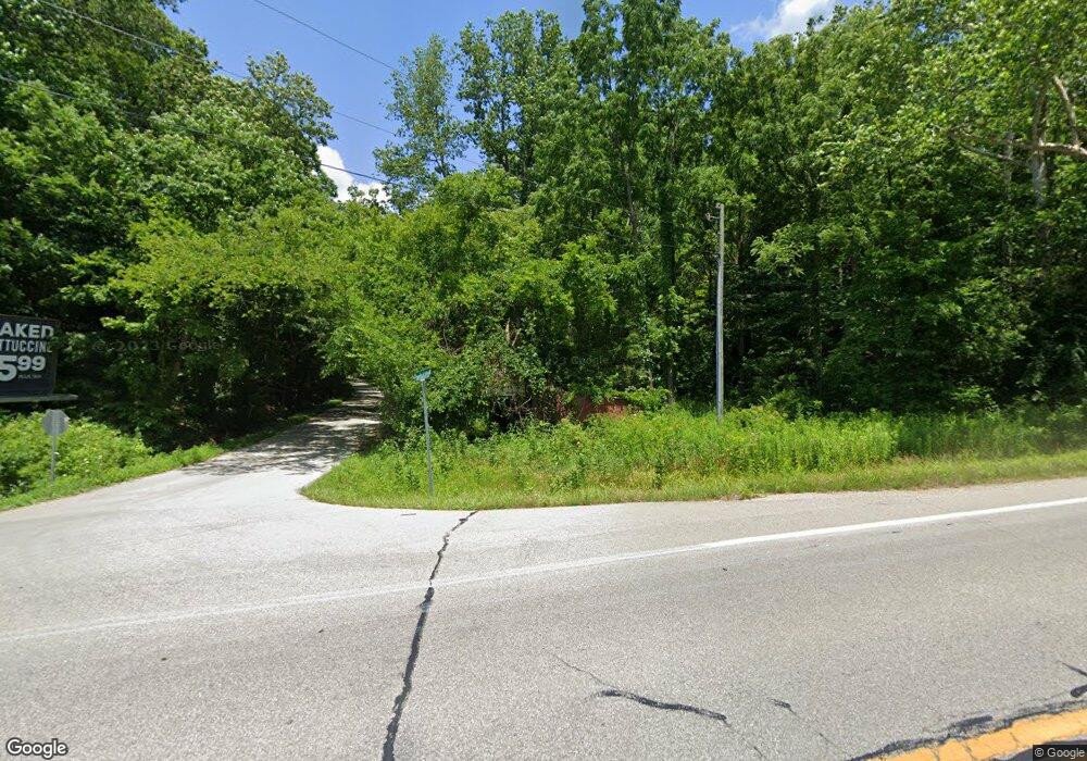
120 N Lower Birdie Galyan Rd Bloomington, IN 47408
Estimated Value: $284,000 - $1,074,696
3
Beds
4
Baths
2,616
Sq Ft
$272/Sq Ft
Est. Value
About This Home
This home is located at 120 N Lower Birdie Galyan Rd, Bloomington, IN 47408 and is currently estimated at $710,424, approximately $271 per square foot. 120 N Lower Birdie Galyan Rd is a home with nearby schools including Unionville Elementary School, Tri-North Middle School, and Bloomington High School North.
Ownership History
Date
Name
Owned For
Owner Type
Purchase Details
Closed on
Feb 24, 2009
Sold by
Terrell Edgar and Terrell Phyllis J
Bought by
Mast Aaron J and Mast Amber M
Current Estimated Value
Home Financials for this Owner
Home Financials are based on the most recent Mortgage that was taken out on this home.
Original Mortgage
$278,400
Interest Rate
5.14%
Mortgage Type
Future Advance Clause Open End Mortgage
Create a Home Valuation Report for This Property
The Home Valuation Report is an in-depth analysis detailing your home's value as well as a comparison with similar homes in the area
Home Values in the Area
Average Home Value in this Area
Purchase History
| Date | Buyer | Sale Price | Title Company |
|---|---|---|---|
| Mast Aaron J | -- | None Available |
Source: Public Records
Mortgage History
| Date | Status | Borrower | Loan Amount |
|---|---|---|---|
| Closed | Mast Aaron J | $278,400 |
Source: Public Records
Tax History Compared to Growth
Tax History
| Year | Tax Paid | Tax Assessment Tax Assessment Total Assessment is a certain percentage of the fair market value that is determined by local assessors to be the total taxable value of land and additions on the property. | Land | Improvement |
|---|---|---|---|---|
| 2024 | $6,366 | $796,200 | $212,800 | $583,400 |
| 2023 | $5,818 | $697,300 | $184,300 | $513,000 |
| 2022 | $5,151 | $630,800 | $123,100 | $507,700 |
| 2021 | $4,981 | $609,500 | $123,100 | $486,400 |
| 2020 | $4,262 | $540,000 | $123,100 | $416,900 |
| 2019 | $3,675 | $461,500 | $83,100 | $378,400 |
| 2018 | $3,641 | $453,700 | $83,100 | $370,600 |
| 2017 | $3,642 | $450,400 | $83,100 | $367,300 |
| 2016 | $3,374 | $436,000 | $64,300 | $371,700 |
| 2014 | $3,456 | $430,100 | $56,600 | $373,500 |
Source: Public Records
Map
Nearby Homes
- 780 S Deer Trace
- 7789 E Lampkins Ridge Rd
- 6691 E Lampkins Ridge Rd
- 9245 E Woodview Dr
- 1275 N Sewell Rd
- 1291 N Sewell Rd
- 6015 E State Road 46
- 9550 E State Road 46
- 9600 E State Road 46
- 5525 E Ariel Way Unit 18
- 5520 E Ariel Way Unit 19
- 6769 E Gross Ln
- 5290 E State Road 46
- 3303 S Mcgowan Rd
- 5005 E State Road 46
- 4977 E State Road 46
- 3417 S Knightridge Rd
- 1408 S Bridwell Ct
- 3802 S Knightridge Rd
- 3501 S Swartz Ridge Rd
- 8050 E Fleener Rd
- 8204 E State Road 46
- 8208 E State Road 46
- 0 N Gettys Creek Rd
- 0 N Gettys Creek Rd Unit 21549360
- 17.01A E Fleener Rd
- 20A E Fleener Rd
- 8051 E Fleener Rd
- 8211 E State Road 46
- 540 N Lower Birdie Galyan Rd
- 533 N Lower Birdie Galyan Rd
- 8150 E Fleener Rd
- 250 N Gettys Creek Rd
- 8169 E Fleener Rd
- 550 N Lower Birdie Galyan Rd
- 8200 E Fleener Rd
- 8215 E State Road 46
- 8181 E Fleener Rd
- 600 N Lower Birdie Galyan Rd
- 8291 E State Road 46
