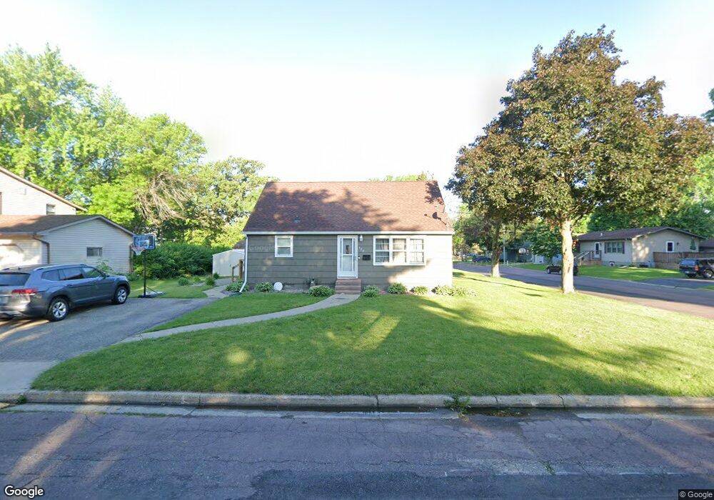
120 Norton St Mankato, MN 56001
Highland Park NeighborhoodEstimated Value: $227,000 - $246,000
3
Beds
1
Bath
918
Sq Ft
$259/Sq Ft
Est. Value
About This Home
This home is located at 120 Norton St, Mankato, MN 56001 and is currently estimated at $237,796, approximately $259 per square foot. 120 Norton St is a home located in Blue Earth County with nearby schools including Rosa Parks Elementary School, Prairie Winds Middle School, and Mankato East Senior High School.
Ownership History
Date
Name
Owned For
Owner Type
Purchase Details
Closed on
Aug 15, 2019
Sold by
Ek Juan and Ek Laura Y
Bought by
Ek Carlos
Current Estimated Value
Home Financials for this Owner
Home Financials are based on the most recent Mortgage that was taken out on this home.
Original Mortgage
$176,739
Outstanding Balance
$154,791
Interest Rate
3.7%
Mortgage Type
FHA
Estimated Equity
$83,005
Create a Home Valuation Report for This Property
The Home Valuation Report is an in-depth analysis detailing your home's value as well as a comparison with similar homes in the area
Home Values in the Area
Average Home Value in this Area
Purchase History
| Date | Buyer | Sale Price | Title Company |
|---|---|---|---|
| Ek Carlos | $180,000 | North American Title |
Source: Public Records
Mortgage History
| Date | Status | Borrower | Loan Amount |
|---|---|---|---|
| Open | Ek Carlos | $176,739 |
Source: Public Records
Tax History Compared to Growth
Tax History
| Year | Tax Paid | Tax Assessment Tax Assessment Total Assessment is a certain percentage of the fair market value that is determined by local assessors to be the total taxable value of land and additions on the property. | Land | Improvement |
|---|---|---|---|---|
| 2025 | $1,934 | $202,200 | $23,100 | $179,100 |
| 2024 | $1,934 | $194,600 | $23,100 | $171,500 |
| 2023 | $1,682 | $167,800 | $23,100 | $144,700 |
| 2022 | $1,346 | $161,900 | $23,100 | $138,800 |
| 2021 | $1,320 | $127,000 | $23,100 | $103,900 |
| 2020 | $1,166 | $113,100 | $23,100 | $90,000 |
| 2019 | $1,138 | $113,100 | $23,100 | $90,000 |
| 2018 | $1,028 | $110,800 | $23,100 | $87,700 |
| 2017 | $902 | $102,900 | $23,100 | $79,800 |
| 2016 | $894 | $97,500 | $23,100 | $74,400 |
| 2015 | $8 | $97,400 | $23,100 | $74,300 |
| 2014 | $870 | $91,200 | $23,100 | $68,100 |
Source: Public Records
Map
Nearby Homes
- 132 Coy St
- 0 R010918476042 Tbd Woodridge Unit 7036731
- 130 Dillon Ave
- 309 309 Locust St
- 26 Sumner Hills Rd
- 321 321 Ramsey St
- 212 Locke St
- 340 Rd
- 231 Bradley St
- 217 Center St
- 950 950 E Main St
- 950 E Main St
- 215 215 Parkway Place
- 213 Parkway Place
- 117 E Pleasant St
- 117 117 E Pleasant St
- 202 Crocus Place
- TBD Saratoga
- 109 109 S 4th St
- 1027 1027 E Mulberry St
- 114 Norton St
- 117 Davis St
- 117 Davis St Unit 117 Davis Street
- 122 Davis St
- 118 Davis St
- 121 Norton St
- 113 Norton St
- 113 Norton St Unit 113 Norton Street
- 110 Weaver St
- 802 Warren St
- 808 Warren St
- 114 Davis St
- 210 Norton St
- 205 Norton St
- 202 Weaver St
- 209 Norton St
- 214 Norton St
- 112 Davis St
- 206 Weaver St
- 206 206 Weaver St