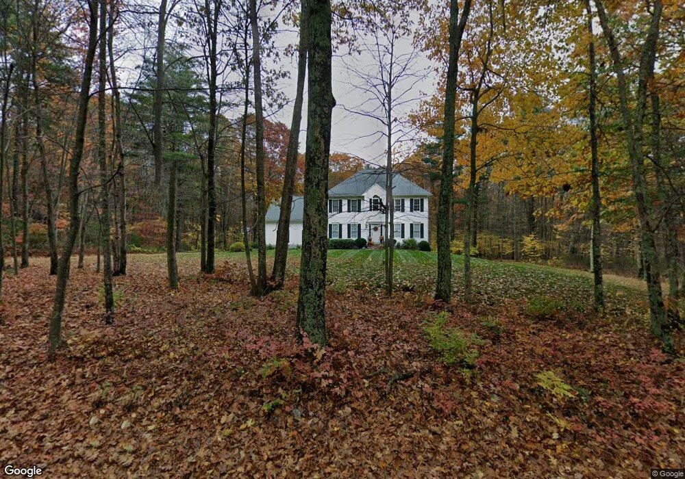
120 Perry St Douglas, MA 01516
Estimated Value: $624,000 - $836,000
3
Beds
4
Baths
2,786
Sq Ft
$261/Sq Ft
Est. Value
About This Home
This home is located at 120 Perry St, Douglas, MA 01516 and is currently estimated at $728,068, approximately $261 per square foot. 120 Perry St is a home located in Worcester County with nearby schools including Douglas Primary School, Douglas Middle School, and Douglas High School.
Ownership History
Date
Name
Owned For
Owner Type
Purchase Details
Closed on
Oct 31, 2002
Sold by
Quarry Hill Dev Co Inc
Bought by
Depetro Robert T and Kapas Elizabeth
Current Estimated Value
Home Financials for this Owner
Home Financials are based on the most recent Mortgage that was taken out on this home.
Original Mortgage
$265,600
Interest Rate
6.09%
Mortgage Type
Purchase Money Mortgage
Create a Home Valuation Report for This Property
The Home Valuation Report is an in-depth analysis detailing your home's value as well as a comparison with similar homes in the area
Home Values in the Area
Average Home Value in this Area
Purchase History
| Date | Buyer | Sale Price | Title Company |
|---|---|---|---|
| Depetro Robert T | $334,742 | -- |
Source: Public Records
Mortgage History
| Date | Status | Borrower | Loan Amount |
|---|---|---|---|
| Open | Depetro Robert T | $235,000 | |
| Closed | Depetro Robert T | $50,000 | |
| Closed | Depetro Robert T | $265,600 |
Source: Public Records
Tax History Compared to Growth
Tax History
| Year | Tax Paid | Tax Assessment Tax Assessment Total Assessment is a certain percentage of the fair market value that is determined by local assessors to be the total taxable value of land and additions on the property. | Land | Improvement |
|---|---|---|---|---|
| 2025 | $77 | $583,900 | $99,100 | $484,800 |
| 2024 | $7,560 | $559,200 | $90,100 | $469,100 |
| 2023 | $7,349 | $511,800 | $90,100 | $421,700 |
| 2022 | $7,466 | $456,900 | $83,300 | $373,600 |
| 2021 | $7,353 | $439,800 | $79,300 | $360,500 |
| 2020 | $7,160 | $421,700 | $79,300 | $342,400 |
| 2019 | $6,893 | $393,900 | $79,300 | $314,600 |
| 2018 | $6,156 | $383,100 | $79,300 | $303,800 |
| 2017 | $5,934 | $354,900 | $82,500 | $272,400 |
| 2016 | $5,751 | $341,900 | $82,500 | $259,400 |
| 2015 | $5,628 | $341,900 | $82,500 | $259,400 |
Source: Public Records
Map
Nearby Homes
- 13 Perry St
- 307 S East Main St Unit Lot 9
- 303 S East Main St Unit Lot 8
- 299 S East Main St Unit Lot 7
- 279 S East Main St Unit Lot 2
- 295 S East Main St Unit Lot 6
- 296 Yew St
- 183 S East Main St
- 104 Vine St
- 153 Davis St
- 99 Maple St
- 139 Turner Farm Rd
- 127 Turner Farm Rd
- 405 West St
- 117 Turner Farm Rd
- 32 Hemlock St
- 38 Hemlock St
- 46 Turner Farm Rd
- 45 Turner Farm Rd
- 10 Essex St