120 Preve Rd Northwood, NH 03261
Estimated Value: $432,000 - $563,393
2
Beds
1
Bath
1,238
Sq Ft
$410/Sq Ft
Est. Value
About This Home
This home is located at 120 Preve Rd, Northwood, NH 03261 and is currently estimated at $507,098, approximately $409 per square foot. 120 Preve Rd is a home located in Rockingham County with nearby schools including Northwood Elementary School and Coe-Brown Northwood Academy.
Ownership History
Date
Name
Owned For
Owner Type
Purchase Details
Closed on
Mar 22, 2019
Sold by
Lewis Donna L
Bought by
Lewis William P
Current Estimated Value
Home Financials for this Owner
Home Financials are based on the most recent Mortgage that was taken out on this home.
Original Mortgage
$185,000
Outstanding Balance
$161,646
Interest Rate
4.3%
Mortgage Type
New Conventional
Estimated Equity
$345,452
Purchase Details
Closed on
Oct 15, 2004
Sold by
Berwick Michael G and Berwick Kenneth G
Bought by
Lewis William P and Lewis Donna L
Home Financials for this Owner
Home Financials are based on the most recent Mortgage that was taken out on this home.
Original Mortgage
$140,000
Interest Rate
5.8%
Mortgage Type
Purchase Money Mortgage
Create a Home Valuation Report for This Property
The Home Valuation Report is an in-depth analysis detailing your home's value as well as a comparison with similar homes in the area
Home Values in the Area
Average Home Value in this Area
Purchase History
| Date | Buyer | Sale Price | Title Company |
|---|---|---|---|
| Lewis William P | -- | -- | |
| Lewis William P | -- | -- | |
| Lewis William P | $205,000 | -- |
Source: Public Records
Mortgage History
| Date | Status | Borrower | Loan Amount |
|---|---|---|---|
| Open | Lewis William P | $185,000 | |
| Closed | Lewis William P | $185,000 | |
| Previous Owner | Lewis William P | $117,131 | |
| Previous Owner | Lewis William P | $78,229 | |
| Previous Owner | Lewis William P | $140,000 |
Source: Public Records
Tax History Compared to Growth
Tax History
| Year | Tax Paid | Tax Assessment Tax Assessment Total Assessment is a certain percentage of the fair market value that is determined by local assessors to be the total taxable value of land and additions on the property. | Land | Improvement |
|---|---|---|---|---|
| 2024 | $6,849 | $439,900 | $310,100 | $129,800 |
| 2023 | $6,071 | $439,900 | $310,100 | $129,800 |
| 2022 | $5,534 | $439,900 | $310,100 | $129,800 |
| 2021 | $5,326 | $344,300 | $244,000 | $100,300 |
| 2020 | $6,092 | $342,800 | $244,000 | $98,800 |
| 2019 | $5,038 | $223,700 | $147,800 | $75,900 |
| 2018 | $5,422 | $224,500 | $147,800 | $76,700 |
| 2016 | $5,384 | $224,500 | $147,800 | $76,700 |
| 2015 | $5,608 | $224,500 | $147,800 | $76,700 |
| 2014 | $5,136 | $214,900 | $151,200 | $63,700 |
| 2012 | $4,986 | $214,900 | $151,200 | $63,700 |
Source: Public Records
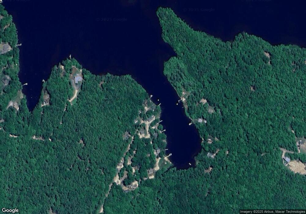
Map
Nearby Homes
- Map 102 Lot 9 Kramas Ln
- 21 Quimby Dr
- 20 Quimby Dr
- 955 Catamount Rd
- 152 Olde Canterbury Rd
- 17 Brook Circle Rd
- 6 Murray Ln
- R11 07 Clough Rd
- 0A Old Turnpike Rd
- 27 Tyler Ave
- 19 Brook Cir
- 7 Chestnut Ln
- 21 Brook Cir
- 5 Chestnut Ln
- 1760 Province Rd
- 132 Chestnut Pond Rd
- 94 Lakeshore Dr
- 1563 1st New Hampshire Turnpike
- 64 Kelsey Mill Rd
- 18 Catamount Rd