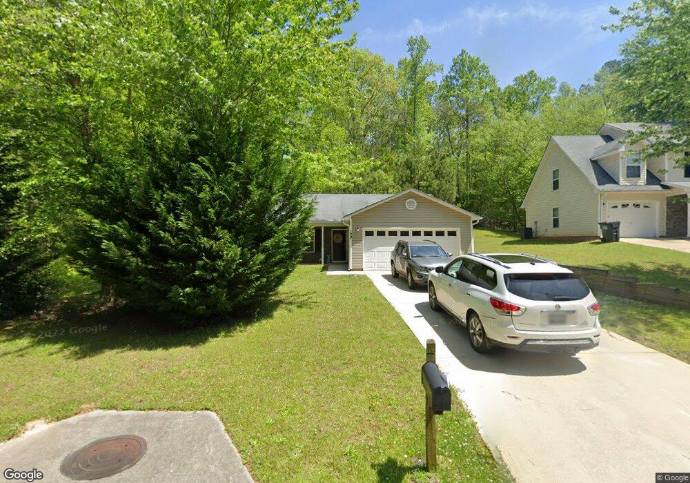
120 Railside Dr Covington, GA 30014
Estimated Value: $280,000 - $319,000
3
Beds
2
Baths
1,667
Sq Ft
$175/Sq Ft
Est. Value
About This Home
This home is located at 120 Railside Dr, Covington, GA 30014 and is currently estimated at $291,581, approximately $174 per square foot. 120 Railside Dr is a home located in Newton County with nearby schools including Heard-Mixon Elementary School, Cousins Middle School, and Eastside High School.
Ownership History
Date
Name
Owned For
Owner Type
Purchase Details
Closed on
Jun 7, 2016
Sold by
Colfin Ai Ga 1 Llc
Bought by
Csh 2016 1 Borrower Llc
Current Estimated Value
Purchase Details
Closed on
Jun 4, 2013
Sold by
Libby Harvey L
Bought by
Colfin Ai Ga 1 Llc
Purchase Details
Closed on
Nov 21, 2007
Sold by
Libby Harvey L
Bought by
Libby Harveye L and Nichols Judith
Home Financials for this Owner
Home Financials are based on the most recent Mortgage that was taken out on this home.
Original Mortgage
$106,874
Interest Rate
6.36%
Mortgage Type
New Conventional
Create a Home Valuation Report for This Property
The Home Valuation Report is an in-depth analysis detailing your home's value as well as a comparison with similar homes in the area
Home Values in the Area
Average Home Value in this Area
Purchase History
| Date | Buyer | Sale Price | Title Company |
|---|---|---|---|
| Csh 2016 1 Borrower Llc | -- | -- | |
| Colfin Ai Ga 1 Llc | $79,000 | -- | |
| Libby Harveye L | -- | -- | |
| Libby Harvey L | $112,500 | -- |
Source: Public Records
Mortgage History
| Date | Status | Borrower | Loan Amount |
|---|---|---|---|
| Previous Owner | Libby Harvey L | $106,874 |
Source: Public Records
Tax History
| Year | Tax Paid | Tax Assessment Tax Assessment Total Assessment is a certain percentage of the fair market value that is determined by local assessors to be the total taxable value of land and additions on the property. | Land | Improvement |
|---|---|---|---|---|
| 2025 | $2,895 | $113,440 | $15,200 | $98,240 |
| 2024 | $2,946 | $113,440 | $15,200 | $98,240 |
| 2023 | $2,895 | $104,040 | $6,400 | $97,640 |
| 2022 | $2,366 | $84,520 | $6,400 | $78,120 |
| 2021 | $2,235 | $71,320 | $6,400 | $64,920 |
| 2020 | $1,940 | $55,640 | $6,400 | $49,240 |
| 2019 | $1,538 | $43,040 | $6,400 | $36,640 |
| 2018 | $611 | $33,520 | $5,000 | $28,520 |
| 2017 | $1,232 | $33,840 | $3,800 | $30,040 |
| 2016 | $1,232 | $33,840 | $3,800 | $30,040 |
| 2015 | $1,250 | $33,360 | $3,200 | $30,160 |
| 2014 | $1,150 | $34,400 | $0 | $0 |
Source: Public Records
Map
Nearby Homes
- 324 Piper Rd
- 0 Piper Rd Unit 7693971
- 0 Piper Rd Unit 10659921
- 13262 Tolstoy Dr
- 13268 Tolstoy Ln
- 10717 Georgia 36
- 20 Kestrel Cir
- 399 River Walk Farm
- 330 River Walk Farm
- 338 River Walk Farm
- 344 River Walk Farm
- 323 River Walk Farm
- 370 Granary Walk
- 130 S Links Dr
- 115 Sagebrush Trail
- 8 Jackson Rd
- 35 Crossbill Trail
- 7762 Fawn Cir
- 7703 Fawn Cir
- 55 Dearing Woods Bend Unit 5