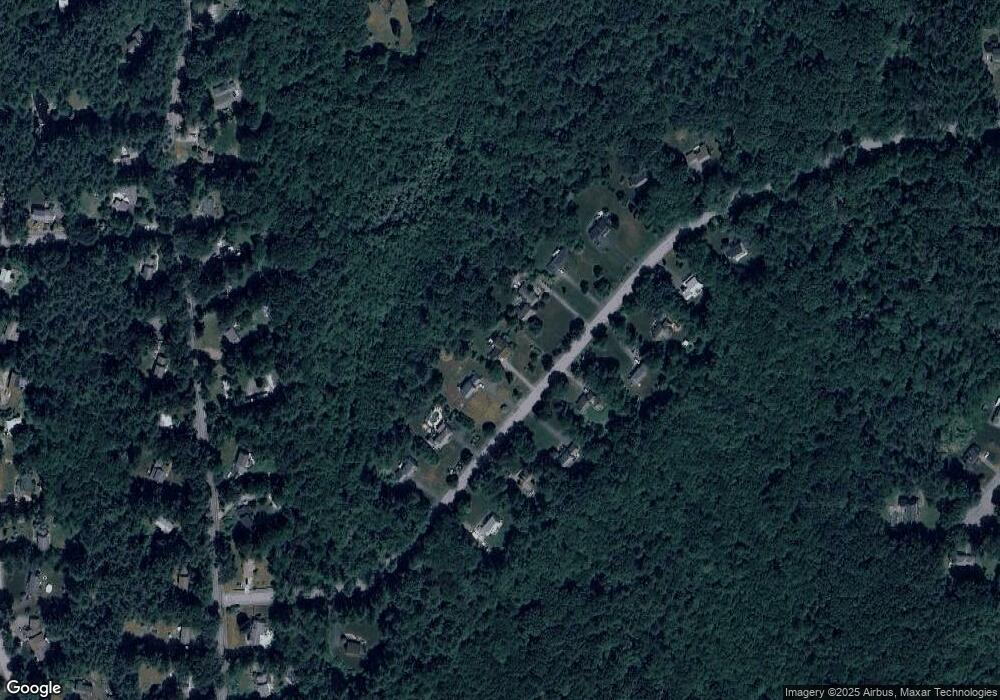
120 Reed Farm Rd Boxborough, MA 01719
Estimated Value: $1,039,000 - $1,261,000
4
Beds
3
Baths
3,088
Sq Ft
$376/Sq Ft
Est. Value
About This Home
This home is located at 120 Reed Farm Rd, Boxborough, MA 01719 and is currently estimated at $1,162,006, approximately $376 per square foot. 120 Reed Farm Rd is a home located in Middlesex County with nearby schools including Acton-Boxborough Regional High School.
Ownership History
Date
Name
Owned For
Owner Type
Purchase Details
Closed on
Sep 20, 2023
Sold by
Murphy Donna S
Bought by
2010 Murphy Ft and Murphy
Current Estimated Value
Purchase Details
Closed on
Jun 25, 1990
Sold by
Reed Farm Inc
Bought by
Murphy Philip J
Home Financials for this Owner
Home Financials are based on the most recent Mortgage that was taken out on this home.
Original Mortgage
$231,000
Interest Rate
10.39%
Mortgage Type
Purchase Money Mortgage
Create a Home Valuation Report for This Property
The Home Valuation Report is an in-depth analysis detailing your home's value as well as a comparison with similar homes in the area
Home Values in the Area
Average Home Value in this Area
Purchase History
| Date | Buyer | Sale Price | Title Company |
|---|---|---|---|
| 2010 Murphy Ft | -- | None Available | |
| Murphy Philip J | $268,000 | -- | |
| Murphy Philip J | $268,000 | -- |
Source: Public Records
Mortgage History
| Date | Status | Borrower | Loan Amount |
|---|---|---|---|
| Previous Owner | Murphy Philip J | $65,000 | |
| Previous Owner | Murphy Philip J | $75,000 | |
| Previous Owner | Murphy Philip J | $231,000 |
Source: Public Records
Tax History Compared to Growth
Tax History
| Year | Tax Paid | Tax Assessment Tax Assessment Total Assessment is a certain percentage of the fair market value that is determined by local assessors to be the total taxable value of land and additions on the property. | Land | Improvement |
|---|---|---|---|---|
| 2025 | $15,057 | $994,500 | $311,300 | $683,200 |
| 2024 | $14,148 | $943,800 | $299,300 | $644,500 |
| 2023 | $13,425 | $865,000 | $258,300 | $606,700 |
| 2022 | $13,018 | $747,300 | $258,300 | $489,000 |
| 2020 | $11,731 | $701,600 | $258,300 | $443,300 |
| 2019 | $11,520 | $701,600 | $258,300 | $443,300 |
| 2018 | $6,377 | $650,900 | $246,300 | $404,600 |
| 2017 | $10,743 | $639,100 | $246,300 | $392,800 |
| 2016 | $10,202 | $623,600 | $246,300 | $377,300 |
| 2015 | $9,639 | $578,900 | $256,600 | $322,300 |
| 2014 | $9,751 | $551,200 | $254,100 | $297,100 |
Source: Public Records
Map
Nearby Homes
- 134 Russet Ln
- 68 Macintosh Ln
- 4 Half Moon Hill
- 777 Depot Rd
- 417 Central St
- 5 Elm St Unit 1
- 31 Mohawk Dr
- 17 Cherry Ridge Rd
- 70 Loring Ave
- 349 Arlington St
- 351 Burroughs Rd
- 30 Paul Revere Rd
- 6 Black Horse Dr
- 3 West Rd
- 404 Arlington St
- 542 Massachusetts Ave
- 4 Huron Rd
- 92 Willow St Unit 3
- 62 Waite Rd
- 90 Willow St Unit 1
- 106 Reed Farm Rd
- 123 Reed Farm Rd
- 92 Reed Farm Rd
- 150 Reed Farm Rd
- 109 Reed Farm Rd
- 135 Reed Farm Rd
- 135 Reed Farm Rd Unit 135
- 76 Reed Farm Rd
- 95 Reed Farm Rd
- 164 Reed Farm Rd
- 151 Reed Farm Rd
- 81 Reed Farm Rd
- 167 Reed Farm Rd
- 178 Reed Farm Rd
- 221 Liberty Square Rd
- 235 Liberty Square Rd
- 181 Reed Farm Rd
- 203 Liberty Square Rd
- 253 Liberty Square Rd
- 190 Reed Farm Rd
