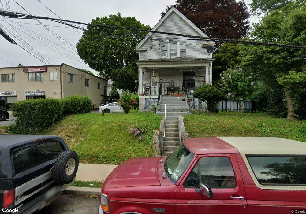
120 S Central Ave Elmsford, NY 10523
Estimated Value: $489,000 - $605,000
4
Beds
1
Bath
1,320
Sq Ft
$402/Sq Ft
Est. Value
About This Home
This home is located at 120 S Central Ave, Elmsford, NY 10523 and is currently estimated at $530,631, approximately $401 per square foot. 120 S Central Ave is a home located in Westchester County with nearby schools including Carl L. Dixson Elementary School, Alice E. Grady Elementary School, and Alexander Hamilton High School.
Ownership History
Date
Name
Owned For
Owner Type
Purchase Details
Closed on
Aug 28, 2018
Sold by
Baker Edward J
Bought by
Edward J Baker Llc
Current Estimated Value
Purchase Details
Closed on
Sep 10, 1999
Sold by
Stoddard Marrilyn A and Salvio Muriel
Bought by
Baker Edward J
Home Financials for this Owner
Home Financials are based on the most recent Mortgage that was taken out on this home.
Original Mortgage
$155,200
Outstanding Balance
$45,941
Interest Rate
7.8%
Estimated Equity
$484,690
Create a Home Valuation Report for This Property
The Home Valuation Report is an in-depth analysis detailing your home's value as well as a comparison with similar homes in the area
Home Values in the Area
Average Home Value in this Area
Purchase History
| Date | Buyer | Sale Price | Title Company |
|---|---|---|---|
| Edward J Baker Llc | -- | None Available | |
| Edward J Baker Llc | -- | None Available | |
| Baker Edward J | $180,000 | Ceo Title Agency Inc |
Source: Public Records
Mortgage History
| Date | Status | Borrower | Loan Amount |
|---|---|---|---|
| Open | Baker Edward J | $155,200 |
Source: Public Records
Tax History Compared to Growth
Tax History
| Year | Tax Paid | Tax Assessment Tax Assessment Total Assessment is a certain percentage of the fair market value that is determined by local assessors to be the total taxable value of land and additions on the property. | Land | Improvement |
|---|---|---|---|---|
| 2024 | $9,230 | $274,600 | $167,400 | $107,200 |
| 2023 | $9,026 | $295,600 | $111,600 | $184,000 |
| 2022 | $8,786 | $279,900 | $111,600 | $168,300 |
| 2021 | $8,614 | $253,800 | $111,600 | $142,200 |
| 2020 | $8,631 | $242,500 | $101,500 | $141,000 |
| 2019 | $8,269 | $242,500 | $101,500 | $141,000 |
| 2018 | $5,544 | $233,800 | $101,500 | $132,300 |
| 2017 | $4,345 | $227,200 | $101,500 | $125,700 |
| 2016 | $137,506 | $218,500 | $101,500 | $117,000 |
| 2015 | -- | $8,550 | $2,300 | $6,250 |
| 2014 | -- | $8,550 | $2,300 | $6,250 |
| 2013 | -- | $8,550 | $2,300 | $6,250 |
Source: Public Records
Map
Nearby Homes
- North S Lawn Ave
- 31 Vincent St
- 42 Vincent St
- 10 Nob Hill Dr
- 2 Nob Hill Dr
- 10 N Goodwin Ave
- 60 Hartsdale Rd
- 9 Durham Rd
- 8 Robbins Ave
- 13 Barksdale Rd
- 36 N Perkins Ave
- 560 Taxter Rd
- 1 Overhill Rd
- 5 Crest Place
- 15 Wayne Way
- 103 Parkview Rd
- 41 N Goodwin Ave
- 69 Skymeadow Place
- 75 Shirley Ln
- 4 Taxter Ridge Ln
- 47 S Stone Ave
- 45 S Stone Ave
- 49 S Stone Ave
- 129 S Central Ave
- 51 S Stone Ave
- 135 S Central Ave
- 53 S Stone Ave
- 43 S Stone Ave
- 56 S Stone Ave
- 58 S Stone Ave
- 58 S Stone Ave Unit 2
- 55 S Stone Ave
- 60 S Stone Ave
- 52 S Stone Ave
- 62 S Stone Ave
- 41 S Stone Ave
- 104 S Central Ave
- 59 S Stone Ave
- 64 S Stone Ave
- 50 S Stone Ave Unit 2C