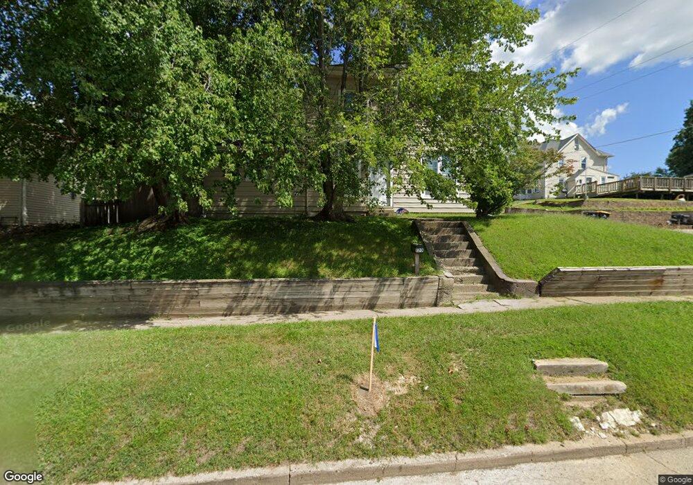
120 S Walnut St Colfax, IA 50054
Estimated Value: $199,000 - $223,620
3
Beds
2
Baths
2,080
Sq Ft
$102/Sq Ft
Est. Value
About This Home
This home is located at 120 S Walnut St, Colfax, IA 50054 and is currently estimated at $211,655, approximately $101 per square foot. 120 S Walnut St is a home located in Jasper County with nearby schools including Colfax-Mingo Elementary School and Colfax-Mingo High School.
Ownership History
Date
Name
Owned For
Owner Type
Purchase Details
Closed on
Apr 16, 2010
Sold by
Bruxvoort Home Renovations Inc
Bought by
Kite William M and Kite Candice A
Current Estimated Value
Home Financials for this Owner
Home Financials are based on the most recent Mortgage that was taken out on this home.
Original Mortgage
$78,551
Outstanding Balance
$53,268
Interest Rate
5.37%
Mortgage Type
FHA
Estimated Equity
$158,388
Purchase Details
Closed on
Sep 17, 2008
Sold by
Wells Fargo Bank Na
Bought by
Bruxvoort Daniel A and Bruxvoort Miranda R
Home Financials for this Owner
Home Financials are based on the most recent Mortgage that was taken out on this home.
Original Mortgage
$25,300
Interest Rate
5.73%
Mortgage Type
New Conventional
Create a Home Valuation Report for This Property
The Home Valuation Report is an in-depth analysis detailing your home's value as well as a comparison with similar homes in the area
Purchase History
| Date | Buyer | Sale Price | Title Company |
|---|---|---|---|
| Kite William M | $80,000 | United Land Title Co | |
| Bruxvoort Daniel A | $18,000 | None Available |
Source: Public Records
Mortgage History
| Date | Status | Borrower | Loan Amount |
|---|---|---|---|
| Open | Kite William M | $78,551 | |
| Previous Owner | Bruxvoort Daniel A | $25,300 |
Source: Public Records
Tax History
| Year | Tax Paid | Tax Assessment Tax Assessment Total Assessment is a certain percentage of the fair market value that is determined by local assessors to be the total taxable value of land and additions on the property. | Land | Improvement |
|---|---|---|---|---|
| 2025 | $3,040 | $190,480 | $14,810 | $175,670 |
| 2024 | $3,040 | $169,960 | $14,810 | $155,150 |
| 2023 | $3,058 | $169,960 | $14,810 | $155,150 |
| 2022 | $2,616 | $136,940 | $14,810 | $122,130 |
| 2021 | $1,980 | $125,480 | $14,810 | $110,670 |
| 2020 | $1,980 | $91,550 | $10,360 | $81,190 |
| 2019 | $1,806 | $80,160 | $0 | $0 |
| 2018 | $1,806 | $80,160 | $0 | $0 |
| 2017 | $1,776 | $80,160 | $0 | $0 |
| 2016 | $1,782 | $80,160 | $0 | $0 |
| 2015 | $1,766 | $80,160 | $0 | $0 |
| 2014 | $1,682 | $80,160 | $0 | $0 |
Source: Public Records
Map
Nearby Homes
- 108 S Walnut St
- 238 S Walnut St
- 222 E Broadway St
- 205 E Division St
- 216 E Washington St
- 221 Cherry St
- 215 W Spring St
- 226 S Iowa St
- 200 Jefferson St
- 214 S Lincoln St
- 501 W Broadway St
- 300 E Front St
- 521 W Washington St
- 17 S Kelly St
- 400 S Goodrich St
- 655 E Division St
- 000 College Ave
- 10790 S 36th Ave W
- 10114 S 34th Ave W
- 1132 S Goodrich St
- 114 S Walnut St
- 14 E Broadway St
- 11 E Broadway St
- 18 E Broadway St
- 210 S Walnut St
- 15 E Washington St
- 100 S Walnut St
- 23 E Washington St
- 214 S Walnut St
- 20 W Broadway St
- 19 E Broadway St
- 33 E Broadway St
- 0 E Washington St Unit 655597
- 23 E Broadway St
- 224 S Walnut St
- 215 S Walnut St
- 12 E Washington St
- 105 S Elm St
- 35 E Broadway St
Your Personal Tour Guide
Ask me questions while you tour the home.