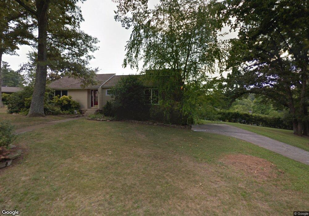
120 Saint Andrews Dr Knoxville, TN 37934
Estimated Value: $447,266 - $592,000
3
Beds
3
Baths
1,528
Sq Ft
$345/Sq Ft
Est. Value
About This Home
This home is located at 120 Saint Andrews Dr, Knoxville, TN 37934 and is currently estimated at $526,567, approximately $344 per square foot. 120 Saint Andrews Dr is a home located in Knox County with nearby schools including Farragut Primary School, Farragut Intermediate School, and Farragut Middle School.
Ownership History
Date
Name
Owned For
Owner Type
Purchase Details
Closed on
Jul 23, 1999
Sold by
Bonnie Arwood
Bought by
Scott Robert W and Scott Robbie E
Current Estimated Value
Home Financials for this Owner
Home Financials are based on the most recent Mortgage that was taken out on this home.
Original Mortgage
$147,250
Outstanding Balance
$41,572
Interest Rate
7.66%
Mortgage Type
Purchase Money Mortgage
Estimated Equity
$484,995
Purchase Details
Closed on
May 13, 1997
Sold by
Sterchi Teresa D
Bought by
Bonnie Arwood
Create a Home Valuation Report for This Property
The Home Valuation Report is an in-depth analysis detailing your home's value as well as a comparison with similar homes in the area
Home Values in the Area
Average Home Value in this Area
Purchase History
| Date | Buyer | Sale Price | Title Company |
|---|---|---|---|
| Scott Robert W | $155,000 | Abstract Title Company | |
| Bonnie Arwood | $111,000 | -- |
Source: Public Records
Mortgage History
| Date | Status | Borrower | Loan Amount |
|---|---|---|---|
| Open | Scott Robert W | $147,250 |
Source: Public Records
Tax History Compared to Growth
Tax History
| Year | Tax Paid | Tax Assessment Tax Assessment Total Assessment is a certain percentage of the fair market value that is determined by local assessors to be the total taxable value of land and additions on the property. | Land | Improvement |
|---|---|---|---|---|
| 2024 | $1,065 | $68,525 | $0 | $0 |
| 2023 | $1,065 | $68,525 | $0 | $0 |
| 2022 | $1,065 | $68,525 | $0 | $0 |
| 2021 | $1,340 | $63,225 | $0 | $0 |
| 2020 | $1,340 | $63,225 | $0 | $0 |
| 2019 | $1,340 | $63,225 | $0 | $0 |
| 2018 | $1,340 | $63,225 | $0 | $0 |
| 2017 | $1,340 | $63,225 | $0 | $0 |
| 2016 | $1,413 | $0 | $0 | $0 |
| 2015 | $1,413 | $0 | $0 | $0 |
| 2014 | $1,413 | $0 | $0 | $0 |
Source: Public Records
Map
Nearby Homes
- 12427 Willow Ridge Ln
- 216 Saint Andrews Dr
- 12359 N Fox Den Dr
- 12628 Needlepoint Dr
- 312 Windham Hill Rd Unit 1
- 12715 Union Rd
- 224 Baltusrol Rd Unit 1
- 12636 Pony Express Dr
- 12309 N Fox Den Dr
- 12710 Duckfoot Ln
- 12722 Duckfoot Ln
- 317 Everett Rd
- 12713 Duckfoot Ln
- 12218 Torrey Pines Point
- 623 Augusta National Way
- 12201 S Fox Den Dr
- 12906 Siena Ln
- 12212 Oakmont Cir
- 12751 Baltica Ln
- 12121 S Fox Den Dr
- 104 Carnoustie Point
- 105 Doral Point
- 129 Saint Andrews Dr
- 125 St Andrews Dr
- 125 Saint Andrews Dr
- 107 Carnoustie Point
- 107 Carnoustie Point Unit 2-B
- 102 Carnoustie Point
- 121 Saint Andrews Dr
- 101 Doral Point
- 100 Carnoustie Point
- 117 Saint Andrews Dr
- 133 Saint Andrews Dr
- 101 Carnoustie Point
- 108 Doral Point
- 103 Carnoustie Point
- 104 Saint Andrews Dr
- 12428 Hound Ears Point
- 137 Saint Andrews Dr
- 132 Saint Andrews Dr