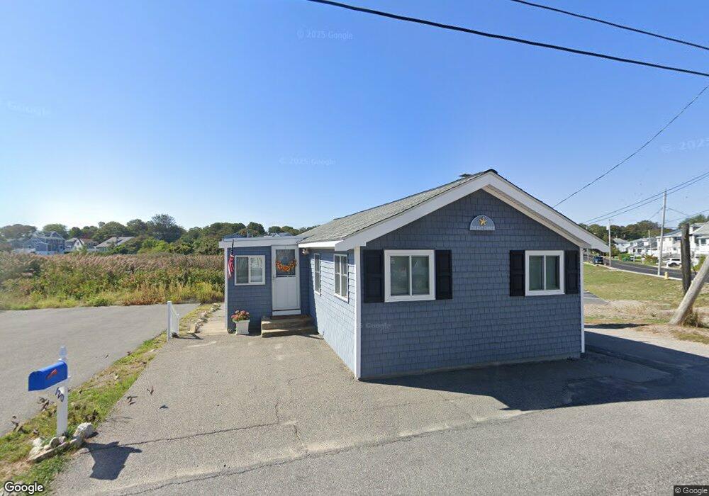
120 Turner Rd Unit 120 Scituate, MA 02066
Estimated Value: $504,000 - $693,000
2
Beds
2
Baths
1,006
Sq Ft
$599/Sq Ft
Est. Value
About This Home
This home is located at 120 Turner Rd Unit 120, Scituate, MA 02066 and is currently estimated at $602,885, approximately $599 per square foot. 120 Turner Rd Unit 120 is a home located in Plymouth County with nearby schools including Jenkins Elementary School, Lester J. Gates Middle School, and Scituate High School.
Ownership History
Date
Name
Owned For
Owner Type
Purchase Details
Closed on
Oct 29, 1999
Sold by
Smith Warren A and King Suzanne
Bought by
Myers Andrew J and Myers Jane M
Current Estimated Value
Home Financials for this Owner
Home Financials are based on the most recent Mortgage that was taken out on this home.
Original Mortgage
$104,000
Interest Rate
7.78%
Mortgage Type
Purchase Money Mortgage
Purchase Details
Closed on
Jul 7, 1989
Sold by
Corcoran Edmund C
Bought by
Smith Warren A
Create a Home Valuation Report for This Property
The Home Valuation Report is an in-depth analysis detailing your home's value as well as a comparison with similar homes in the area
Home Values in the Area
Average Home Value in this Area
Purchase History
| Date | Buyer | Sale Price | Title Company |
|---|---|---|---|
| Myers Andrew J | $130,000 | -- | |
| Smith Warren A | $112,900 | -- |
Source: Public Records
Mortgage History
| Date | Status | Borrower | Loan Amount |
|---|---|---|---|
| Open | Smith Warren A | $176,000 | |
| Closed | Smith Warren A | $180,000 | |
| Closed | Smith Warren A | $130,000 | |
| Closed | Smith Warren A | $104,000 |
Source: Public Records
Tax History Compared to Growth
Tax History
| Year | Tax Paid | Tax Assessment Tax Assessment Total Assessment is a certain percentage of the fair market value that is determined by local assessors to be the total taxable value of land and additions on the property. | Land | Improvement |
|---|---|---|---|---|
| 2025 | $5,369 | $537,400 | $450,900 | $86,500 |
| 2024 | $5,167 | $498,700 | $409,900 | $88,800 |
| 2023 | $4,770 | $455,200 | $372,600 | $82,600 |
| 2022 | $4,770 | $378,000 | $297,500 | $80,500 |
| 2021 | $4,709 | $353,300 | $283,300 | $70,000 |
| 2020 | $4,567 | $338,300 | $272,400 | $65,900 |
| 2019 | $4,558 | $331,700 | $267,100 | $64,600 |
| 2018 | $4,525 | $324,400 | $269,500 | $54,900 |
| 2017 | $4,436 | $314,800 | $259,900 | $54,900 |
| 2016 | $4,451 | $314,800 | $259,900 | $54,900 |
| 2015 | $3,998 | $305,200 | $250,300 | $54,900 |
Source: Public Records
Map
Nearby Homes
- 105 Turner Rd
- 23 Oceanside Dr
- 86 Hatherly Rd
- 32 Barker Rd Unit 3
- 10 Benjamin Ln Unit 10
- 209 Hatherly Rd
- 30 Irving Rd
- 23 Sunset Rd
- 17 Bradford Ave
- 74 Tilden Rd
- 91 Front St Unit 106
- 50 First Parish Rd
- 378 Tilden Rd
- 54 Woodland Rd
- 111 Elm St
- 115 Elm St
- 3 Grace Way Unit 3
- 1 Grace Way Unit 1
- 27 Grace Way
- 27 Ann Vinal Rd
- 120 Turner Rd
- 120 Turner Rd
- 124 Turner Rd
- 121 Turner Rd
- 119 Turner Rd
- 123 Turner Rd
- 117 Turner Rd
- 126 Turner Rd
- 125 Turner Rd
- 125 Turner Rd Unit 1
- 2 Oceanside Dr
- 127 Turner Rd
- 1 Oceanside Dr
- 4 Oceanside Dr
- 4 Oceanside Dr Unit none
- 4 Oceanside Dr Unit Weekly
- 129 Turner Rd
- 1A Oceanside Dr
- 6 Oceanside Dr
- 131 Turner Rd