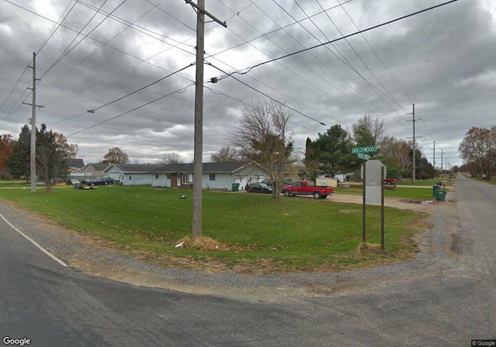
120 W Rockey Weed Rd Stevensville, MI 49127
Estimated Value: $295,000 - $358,000
2
Beds
1
Bath
2,028
Sq Ft
$163/Sq Ft
Est. Value
About This Home
This home is located at 120 W Rockey Weed Rd, Stevensville, MI 49127 and is currently estimated at $329,561, approximately $162 per square foot. 120 W Rockey Weed Rd is a home located in Berrien County with nearby schools including Lakeshore High School and Michigan Lutheran High School.
Ownership History
Date
Name
Owned For
Owner Type
Purchase Details
Closed on
Jan 30, 2006
Sold by
Dimas Roxanne and Dimas Roxanne Sue
Bought by
Dimas John I and Dimas John Ignacio
Current Estimated Value
Purchase Details
Closed on
Aug 9, 2003
Sold by
Dimas John I
Bought by
Dimas John I and Dimas Roxanne
Home Financials for this Owner
Home Financials are based on the most recent Mortgage that was taken out on this home.
Original Mortgage
$140,000
Outstanding Balance
$72,081
Interest Rate
7.99%
Mortgage Type
Purchase Money Mortgage
Estimated Equity
$257,480
Purchase Details
Closed on
Oct 12, 1987
Create a Home Valuation Report for This Property
The Home Valuation Report is an in-depth analysis detailing your home's value as well as a comparison with similar homes in the area
Home Values in the Area
Average Home Value in this Area
Purchase History
| Date | Buyer | Sale Price | Title Company |
|---|---|---|---|
| Dimas John I | -- | None Available | |
| Dimas John I | -- | -- | |
| -- | $72,000 | -- |
Source: Public Records
Mortgage History
| Date | Status | Borrower | Loan Amount |
|---|---|---|---|
| Open | Dimas John I | $140,000 |
Source: Public Records
Tax History Compared to Growth
Tax History
| Year | Tax Paid | Tax Assessment Tax Assessment Total Assessment is a certain percentage of the fair market value that is determined by local assessors to be the total taxable value of land and additions on the property. | Land | Improvement |
|---|---|---|---|---|
| 2025 | $2,779 | $146,700 | $0 | $0 |
| 2024 | $2,402 | $116,000 | $0 | $0 |
| 2023 | $2,288 | $100,700 | $0 | $0 |
| 2022 | $2,171 | $88,700 | $0 | $0 |
| 2021 | $2,437 | $91,000 | $12,400 | $78,600 |
| 2020 | $2,389 | $92,800 | $0 | $0 |
| 2019 | $2,347 | $80,700 | $10,700 | $70,000 |
| 2018 | $2,301 | $80,700 | $0 | $0 |
| 2017 | $2,352 | $79,500 | $0 | $0 |
| 2016 | $2,296 | $82,300 | $0 | $0 |
| 2015 | $2,286 | $86,700 | $0 | $0 |
| 2014 | $1,972 | $79,700 | $0 | $0 |
Source: Public Records
Map
Nearby Homes
- V/L Scottdale Rd
- 5844 S Scottdale Rd
- 6130 Eidson Rd
- 0 Hollywood Rd
- 5293 Washington Ave
- 6157 Longhorn Trail
- 6225 Comiskey Rd
- 6211 Comiskey Rd
- 6035 Racine Dr
- 4799 Luther Path Unit 19
- 545 Wittenberg Path
- 561 Wittenberg Path
- 418 & 420 Wittenberg Path
- 573 Wittenberg Path
- 2025 Joni Ln
- 471 Wittenberg Path
- Integrity 2280 Plan at Wyndstone Estates - Integrity
- Elements 2090 Plan at Wyndstone Estates
- Traditions 3400 V8.0b Plan at Wyndstone Estates - Traditions
- Traditions 1600 V8.0b Plan at Wyndstone Estates - Traditions
- 175 W Rockey Weed Rd
- 300 W Rockey Weed Rd
- 154 W Rockey Weed Rd
- 150 W Rockey Weed Rd
- 170 W Rockey Weed Rd
- 180 W Rockey Weed Rd
- 6492 Hollywood Rd
- 200 W Rockey Weed Rd
- 6560 Hollywood Rd
- 6566 Hollywood Rd
- 6476 Hollywood Rd
- 6628 Hollywood Rd
- 6600 Hollywood Rd
- 6618 Hollywood Rd
- 6454 Hollywood Rd
- 6628 Hollywood Rd
- 6654 Hollywood Rd
- 6659 Hollywood Rd
- 6688 Hollywood Rd
- 170 W Rockey Weed Rd