Estimated Value: $371,621 - $407,000
3
Beds
2
Baths
1,563
Sq Ft
$250/Sq Ft
Est. Value
About This Home
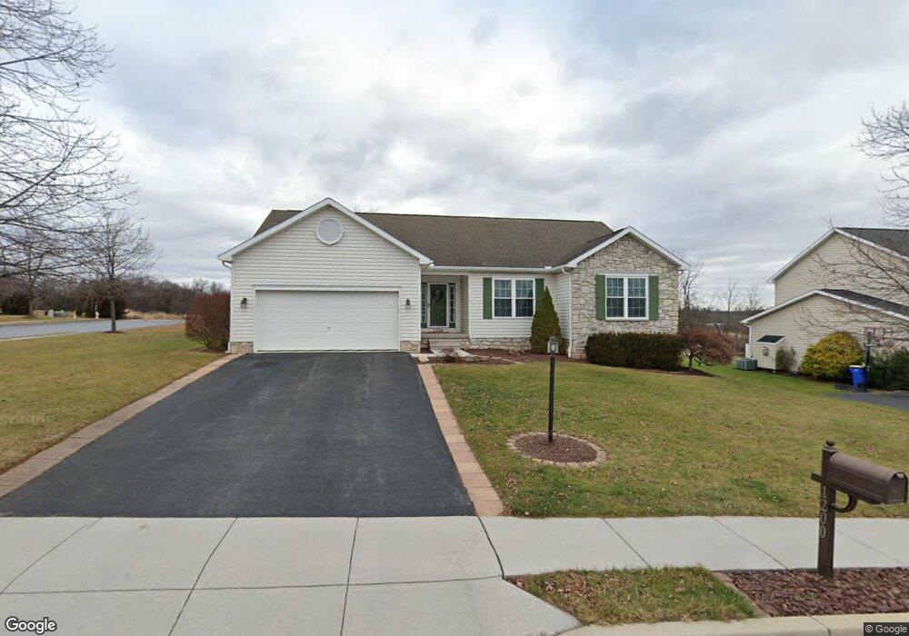
This home is located at 1200 Brooke Dr Unit 13, Dover, PA 17315 and is currently estimated at $391,155, approximately $250 per square foot. 1200 Brooke Dr Unit 13 is a home located in York County with nearby schools including Dover Area High School, York Adventist Christian School, and Christian School of York.
Ownership History
Date
Name
Owned For
Owner Type
Purchase Details
Closed on
Mar 17, 2009
Sold by
Shadowtree Lp
Bought by
Kester Charles A and Kester Judy L
Current Estimated Value
Home Financials for this Owner
Home Financials are based on the most recent Mortgage that was taken out on this home.
Original Mortgage
$211,989
Outstanding Balance
$135,652
Interest Rate
5.25%
Mortgage Type
FHA
Estimated Equity
$255,503
Create a Home Valuation Report for This Property
The Home Valuation Report is an in-depth analysis detailing your home's value as well as a comparison with similar homes in the area
Home Values in the Area
Average Home Value in this Area
Purchase History
| Date | Buyer | Sale Price | Title Company |
|---|---|---|---|
| Kester Charles A | $215,900 | None Available |
Source: Public Records
Mortgage History
| Date | Status | Borrower | Loan Amount |
|---|---|---|---|
| Open | Kester Charles A | $211,989 |
Source: Public Records
Tax History Compared to Growth
Tax History
| Year | Tax Paid | Tax Assessment Tax Assessment Total Assessment is a certain percentage of the fair market value that is determined by local assessors to be the total taxable value of land and additions on the property. | Land | Improvement |
|---|---|---|---|---|
| 2025 | $6,454 | $196,740 | $39,710 | $157,030 |
| 2024 | $6,395 | $196,740 | $39,710 | $157,030 |
| 2023 | $6,395 | $196,740 | $39,710 | $157,030 |
| 2022 | $6,279 | $196,740 | $39,710 | $157,030 |
| 2021 | $5,924 | $196,740 | $39,710 | $157,030 |
| 2020 | $5,871 | $196,740 | $39,710 | $157,030 |
| 2019 | $5,799 | $196,740 | $39,710 | $157,030 |
| 2018 | $5,653 | $196,740 | $39,710 | $157,030 |
| 2017 | $5,653 | $196,740 | $39,710 | $157,030 |
| 2016 | $0 | $195,820 | $39,710 | $156,110 |
| 2015 | -- | $195,820 | $39,710 | $156,110 |
| 2014 | -- | $195,820 | $39,710 | $156,110 |
Source: Public Records
Map
Nearby Homes
- 3342 Glen Hollow Dr
- 874 Shadowbrooke Dr
- 907 Shadowbrooke Dr
- Wynn Plan at Sagebrook
- Maeve II Plan at Sagebrook
- Maeve Plan at Sagebrook
- Griffin Plan at Sagebrook
- 880 Shadowbrooke
- 868 Shadowbrooke Dr
- 3144 N Wynd Ave
- 1030 E Canal Rd
- 1473 Windemere Place
- 3152 Glen Hollow Dr Unit 75B
- 190 Bella Dr
- 135 Amber Ln
- 195 Bella Dr
- 175 Bella Dr
- 180 Bella Dr
- 120 Grantway Dr
- 3756 Fox Chase Dr
- 1200 Brooke Dr
- 1210 Brooke Dr
- 1201 Shadowbrooke Dr
- 1220 Brooke Dr
- 1201 Brooke Dr
- 1211 Brooke Dr Unit 30
- 1211 Brooke Dr
- 1211 Shadowbrooke Dr
- 1221 Brooke Dr
- 1230 Brooke Dr Unit 16
- 1230 Brooke Dr
- 1220 Shadowbrooke Dr
- 1221 Shadowbrooke Dr
- 1240 Brooke Dr
- 1231 Brooke Dr
- 1231 Shadowbrooke Dr Unit 8
- 1231 Shadowbrooke Dr
- 1230 Shadowbrooke Dr
- 1241 Brooke Dr
- 1240 Shadowbrooke Dr