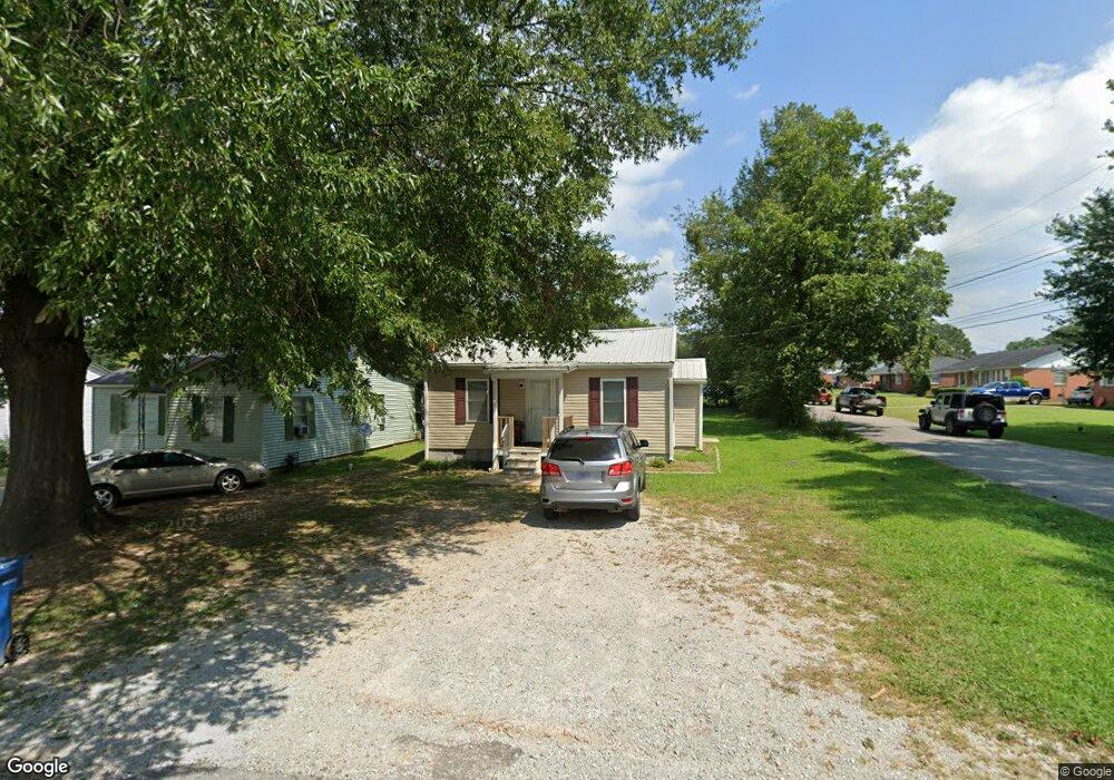
1200 Dungan St Humboldt, TN 38343
Estimated Value: $58,000 - $83,000
--
Bed
1
Bath
648
Sq Ft
$107/Sq Ft
Est. Value
About This Home
This home is located at 1200 Dungan St, Humboldt, TN 38343 and is currently estimated at $69,212, approximately $106 per square foot. 1200 Dungan St is a home located in Gibson County with nearby schools including Stigall Primary School, East Elementary School, and Humboldt Middle School.
Ownership History
Date
Name
Owned For
Owner Type
Purchase Details
Closed on
Jul 8, 2015
Sold by
Koffman Neill A
Bought by
Premier Rentals Llc
Current Estimated Value
Purchase Details
Closed on
Aug 28, 1992
Bought by
Koffman Neill and Koffman Rebecca
Purchase Details
Closed on
Jun 26, 1990
Bought by
Morgan Joe F and Morgan Brenda L
Purchase Details
Closed on
Apr 6, 1970
Bought by
Dunn Norman E L Zula Mae
Purchase Details
Closed on
Jan 3, 1900
Create a Home Valuation Report for This Property
The Home Valuation Report is an in-depth analysis detailing your home's value as well as a comparison with similar homes in the area
Home Values in the Area
Average Home Value in this Area
Purchase History
| Date | Buyer | Sale Price | Title Company |
|---|---|---|---|
| Premier Rentals Llc | $499,000 | -- | |
| Koffman Neill | $18,000 | -- | |
| Morgan Joe F | $16,000 | -- | |
| Dunn Norman E L Zula Mae | -- | -- | |
| -- | -- | -- |
Source: Public Records
Tax History Compared to Growth
Tax History
| Year | Tax Paid | Tax Assessment Tax Assessment Total Assessment is a certain percentage of the fair market value that is determined by local assessors to be the total taxable value of land and additions on the property. | Land | Improvement |
|---|---|---|---|---|
| 2025 | $266 | $9,800 | $0 | $0 |
| 2024 | $266 | $9,800 | $2,500 | $7,300 |
| 2023 | $59 | $5,325 | $1,250 | $4,075 |
| 2022 | $55 | $5,325 | $1,250 | $4,075 |
| 2021 | $55 | $5,325 | $1,250 | $4,075 |
| 2020 | $200 | $5,325 | $1,250 | $4,075 |
| 2019 | $200 | $5,325 | $1,250 | $4,075 |
| 2018 | $216 | $5,325 | $1,250 | $4,075 |
| 2017 | $214 | $5,325 | $1,250 | $4,075 |
| 2016 | $261 | $6,500 | $1,250 | $5,250 |
| 2015 | $258 | $6,500 | $1,250 | $5,250 |
| 2014 | $258 | $6,500 | $1,250 | $5,250 |
Source: Public Records
Map
Nearby Homes
- 1338 Dungan St
- 2508 Vine St
- 804 N 24th Ave
- 811 N 24th Ave
- 2425 St Mary Dr
- 1211 N 29th Ave
- 0 +-6 Acres Gadsden Todd Levee Unit 241321
- 700 N 29th Ave
- 2900 E Mitchell St
- 2107 Campbell St
- 3117 Laurel St
- 171 N 28th Ave
- 3115 Redwood St
- 1012 Parkway Cove
- 00000 Lot 7 Mullins St
- 0000 lot 6-C Mullins St
- 000Lot 6-B Mullins St
- 00-lot 6-A Mullins St
- 1907 E Mitchell St
- 1438 N 19th Ave
- 1204 Dungan St
- 1208 Dungan St
- 2536 Ferrell St
- 2540 Ferrell St
- 2545 Ferrell St
- 2530 Ferrell St
- 1209 Sunset St
- 1224 Dungan St
- 2542 Ferrell St
- 1215 Sunset St
- 2526 Ferrell St
- 1215 Sunset St
- 2610 Ferrell St
- 2527 Northwood Blvd
- 1304 Dungan St
- 2533 Northwood Blvd
- 2521 Northwood Blvd
- 1225 Dungan St
- 1221 Sunset St
- 2603 Northwood Blvd