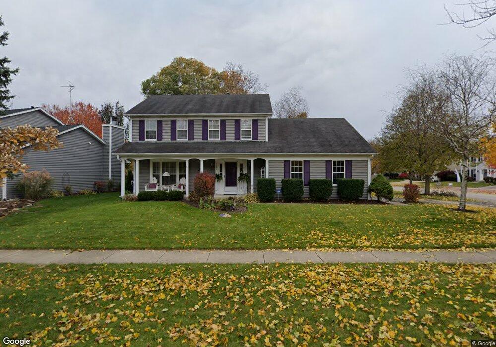
1200 Herrington Rd Unit 3 Geneva, IL 60134
Southwest Geneva NeighborhoodEstimated Value: $443,000 - $498,000
4
Beds
3
Baths
1,890
Sq Ft
$247/Sq Ft
Est. Value
About This Home
This home is located at 1200 Herrington Rd Unit 3, Geneva, IL 60134 and is currently estimated at $467,200, approximately $247 per square foot. 1200 Herrington Rd Unit 3 is a home located in Kane County with nearby schools including Williamsburg Elementary School, Geneva Community High School, and St. Peter School.
Ownership History
Date
Name
Owned For
Owner Type
Purchase Details
Closed on
Jul 23, 1999
Sold by
Pomije Thomas B and Pomije Jane M
Bought by
Becht Douglas J and Becht Kathryn T
Current Estimated Value
Home Financials for this Owner
Home Financials are based on the most recent Mortgage that was taken out on this home.
Original Mortgage
$171,500
Outstanding Balance
$48,533
Interest Rate
7.69%
Estimated Equity
$418,667
Create a Home Valuation Report for This Property
The Home Valuation Report is an in-depth analysis detailing your home's value as well as a comparison with similar homes in the area
Home Values in the Area
Average Home Value in this Area
Purchase History
| Date | Buyer | Sale Price | Title Company |
|---|---|---|---|
| Becht Douglas J | $246,000 | Law Title Insurance Co Inc |
Source: Public Records
Mortgage History
| Date | Status | Borrower | Loan Amount |
|---|---|---|---|
| Open | Becht Douglas J | $171,500 |
Source: Public Records
Tax History Compared to Growth
Tax History
| Year | Tax Paid | Tax Assessment Tax Assessment Total Assessment is a certain percentage of the fair market value that is determined by local assessors to be the total taxable value of land and additions on the property. | Land | Improvement |
|---|---|---|---|---|
| 2024 | $9,949 | $129,744 | $33,506 | $96,238 |
| 2023 | $9,729 | $117,949 | $30,460 | $87,489 |
| 2022 | $9,198 | $109,597 | $28,303 | $81,294 |
| 2021 | $8,945 | $105,524 | $27,251 | $78,273 |
| 2020 | $8,848 | $103,913 | $26,835 | $77,078 |
| 2019 | $8,833 | $101,946 | $26,327 | $75,619 |
| 2018 | $8,484 | $98,081 | $26,327 | $71,754 |
| 2017 | $8,401 | $95,465 | $25,625 | $69,840 |
| 2016 | $8,261 | $92,073 | $25,279 | $66,794 |
| 2015 | -- | $87,538 | $24,034 | $63,504 |
| 2014 | -- | $87,861 | $24,034 | $63,827 |
| 2013 | -- | $87,861 | $24,034 | $63,827 |
Source: Public Records
Map
Nearby Homes
- 839 S Randall Rd
- 823 Sunflower Dr
- 2827 Caldwell Ln Unit 2
- 948 Bluestem Dr
- 2927 Caldwell Ln Unit 2
- 869 Cambridge Dr
- 715 Samantha Cir
- 748 Hamilton Way
- 668 Branson Dr
- 648 Branson Dr
- 644 Branson Dr
- 653 Branson Dr
- 558 Schroeder Trail
- 535 Branson Dr
- 441 Freedlund Course
- 433 Freedlund Course
- 425 Freedlund Course
- 417 Freedlund Course
- 38W335 Killey Ln
- 2300 Kaneville Rd
- 1206 Herrington Rd
- 1221 Shoop Cir
- 1216 Herrington Rd
- 1139 Shoop Dr
- 1200 Shoop Dr
- 1210 Shoop Dr
- 1231 Shoop Cir Unit 3
- 1170 Shoop Dr
- 1236 Herrington Rd Unit 3
- 1220 Shoop Dr
- 1140 Shoop Dr
- 1109 Shoop Dr
- 1219 Herrington Place
- 1209 Herrington Rd
- 1230 Shoop Dr
- 1246 Herrington Rd
- 1239 Shoop Cir
- 1110 Shoop Dr
- 1256 Herrington Rd
- 1240 Shoop Dr