1200 King Rd Pocahontas, AR 72455
Estimated Value: $198,165 - $294,000
--
Bed
2
Baths
1,920
Sq Ft
$132/Sq Ft
Est. Value
About This Home
This home is located at 1200 King Rd, Pocahontas, AR 72455 and is currently estimated at $252,541, approximately $131 per square foot. 1200 King Rd is a home located in Randolph County with nearby schools including Mammoth Spring Elementary School and Mammoth Spring High School.
Ownership History
Date
Name
Owned For
Owner Type
Purchase Details
Closed on
Dec 8, 2016
Sold by
Luttrull Floyd and Luttrull Linda
Bought by
Ligon Scott and Hill Sheree
Current Estimated Value
Purchase Details
Closed on
Mar 13, 2008
Bought by
Howell Trust To Howell Trust
Purchase Details
Closed on
Mar 17, 2006
Bought by
Howell To Howell Trust
Purchase Details
Closed on
Jan 27, 2006
Bought by
Taylor To Howell
Purchase Details
Closed on
Aug 23, 2005
Bought by
Taylor To Howell
Purchase Details
Closed on
Jul 20, 2005
Bought by
Taylor To Howell
Purchase Details
Closed on
Mar 12, 2001
Bought by
Jackson To Taylor
Create a Home Valuation Report for This Property
The Home Valuation Report is an in-depth analysis detailing your home's value as well as a comparison with similar homes in the area
Home Values in the Area
Average Home Value in this Area
Purchase History
| Date | Buyer | Sale Price | Title Company |
|---|---|---|---|
| Ligon Scott | $155,000 | None Available | |
| Howell Trust To Howell Trust | -- | -- | |
| Howell To Howell Trust | -- | -- | |
| Taylor To Howell | $3,000 | -- | |
| Taylor To Howell | -- | -- | |
| Taylor To Howell | $117,000 | -- | |
| Jackson To Taylor | -- | -- |
Source: Public Records
Tax History Compared to Growth
Tax History
| Year | Tax Paid | Tax Assessment Tax Assessment Total Assessment is a certain percentage of the fair market value that is determined by local assessors to be the total taxable value of land and additions on the property. | Land | Improvement |
|---|---|---|---|---|
| 2025 | $307 | $22,125 | $620 | $21,505 |
| 2024 | $407 | $22,125 | $620 | $21,505 |
| 2023 | $482 | $22,125 | $620 | $21,505 |
| 2022 | $533 | $22,125 | $620 | $21,505 |
| 2021 | $533 | $22,125 | $620 | $21,505 |
| 2020 | $569 | $23,000 | $620 | $22,380 |
| 2019 | $568 | $23,000 | $620 | $22,380 |
| 2018 | $594 | $23,000 | $620 | $22,380 |
| 2017 | $902 | $21,995 | $590 | $21,405 |
| 2016 | $552 | $21,995 | $590 | $21,405 |
| 2015 | $552 | $21,995 | $590 | $21,405 |
| 2014 | $508 | $21,995 | $590 | $21,405 |
Source: Public Records
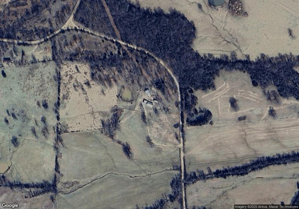
Map
Nearby Homes
- 9369 Highway 93
- 12213 Highway 93
- 339 Township Rd
- 85 Baker Den Rd
- 000 Marriott Rd
- 5600 Baker Den Rd
- 0000 Cokley Rd
- Tbd Lot 4 County Road 278
- TBD Lot #4 County Road 278
- TDB Upper Janes Creek Raod
- Tbd Upper Janes Creek Rd Unit LotWP001
- 566 Bethany Rd
- 0 Blackwell Den Rd
- 359 County Road 262
- 4254 V Hwy
- TBD Saienni Rd
- 1815 Stubblefield Rd
- 7882 Highway V
- 18116 Hwy 90 W
- 18851 Arkansas 90